Cruising the Eastern Arctic – Sunneshine Fjord

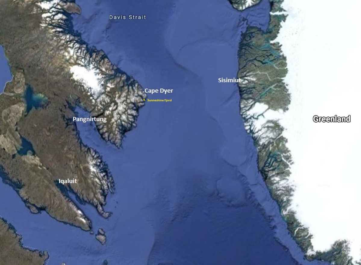
It was our fourth day in Nunavut cruising aboard the MV Sea Adventurer. After our initial visits to Iqaluit and Pangnirtung, we were now heading towards Cape Dyer, which in a few days would be roughly our departure point across the Davis Strait to Sisimiut, Greenland.
Fog blanketed the Arctic, which meant, for the captain, it was slow going.
In the lounge, Heidi Langille, who resides in Canada’s capital city Ottawa, gave an afternoon lecture on what it was like to be an “urban Inuit”.

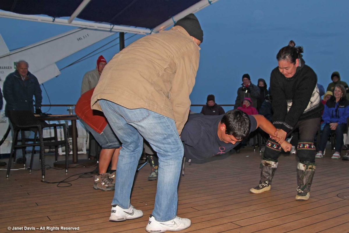
That evening after dinner, there was music on deck and Heidi and our other Inuit cultural emissaries demonstrated some traditional games of strength…..
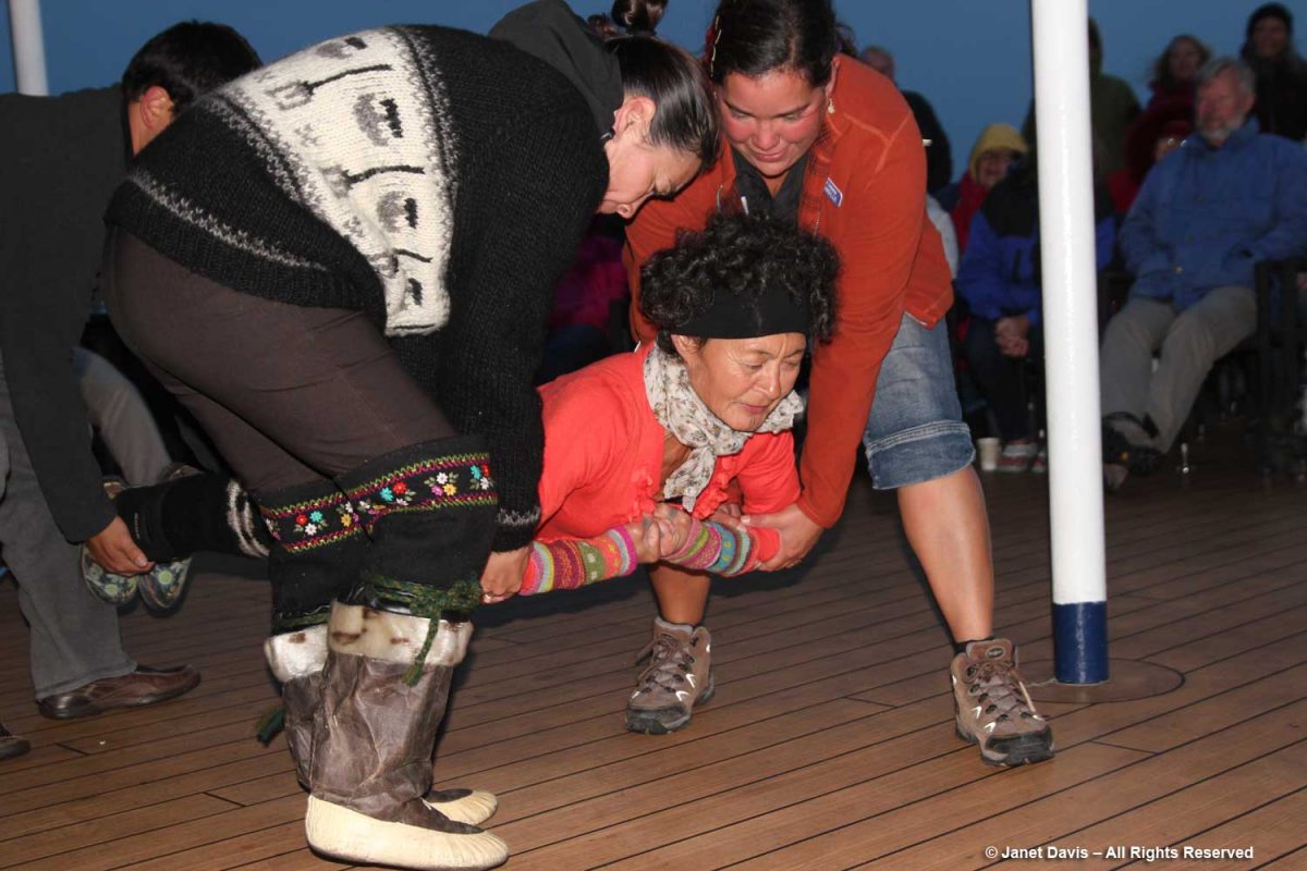
….. while we cheered them on.
The next morning, the sun was warm on the east coast of Baffin Island as we made our way up the appropriately-named Sunneshine Fjord –   also seen as Sunshine Fiord in some references….
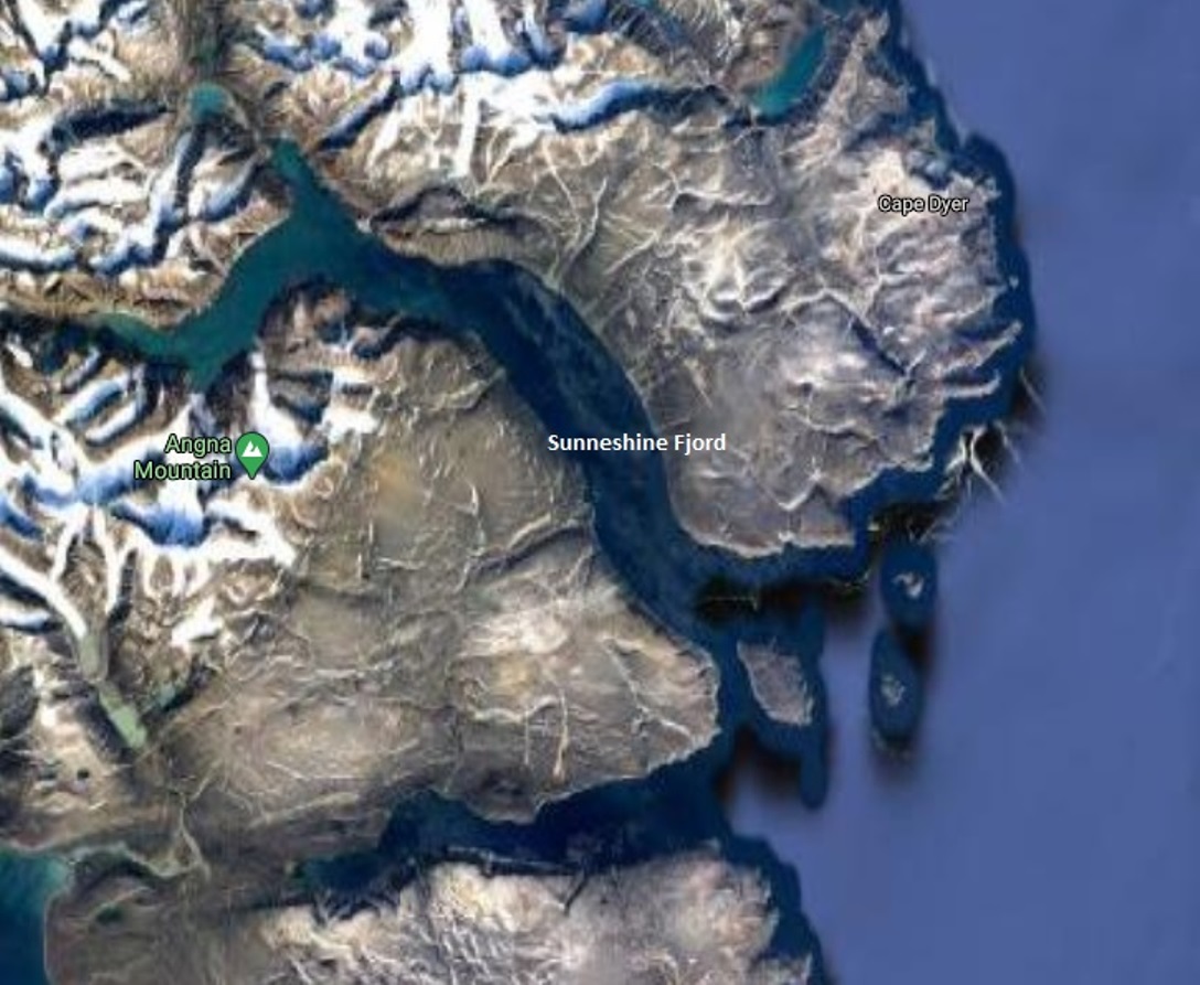
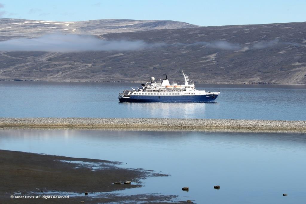
….and dropped anchor.   
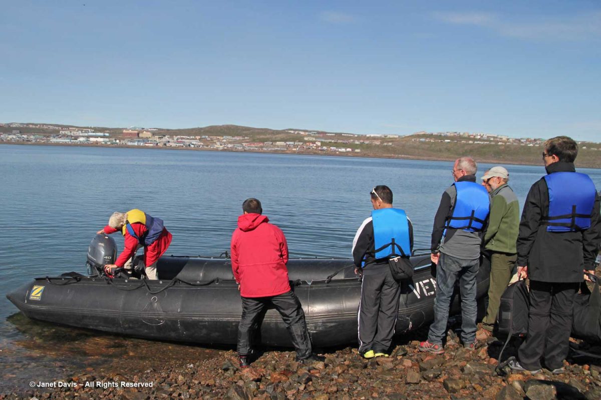
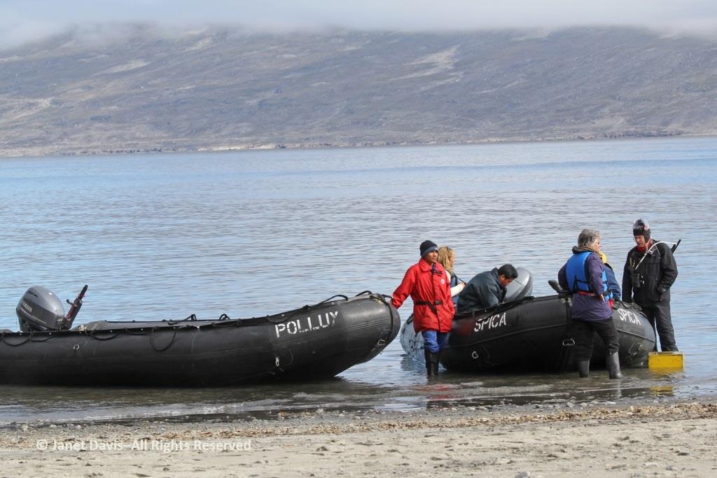
The zodiacs ferried us to a wet landing on shore. It’s interesting that, if you’re a resource staffer on an Adventure Canada expedition, you must also know how to captain a zodiac. That goes for (now retired) art and culture director Carol Heppenstall, standing in the blue life-vest to the left of (now retired) expedition leader Stefan Kindberg.
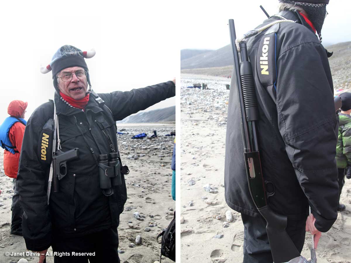
When you land on an unoccupied shoreline in Nunavut, there’s a good chance that even though there are no human occupants, there may well be polar bears. Thus, our expedition leader Stefan Kindberg carried both a handgun and rifle. Fortunately, he’s never had to use them, and commented dryly: “You don’t ever want to have to shoot a polar bear in Canada. Too much paperwork!”
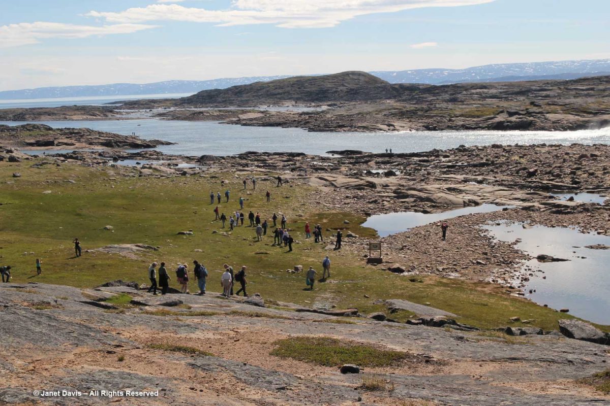
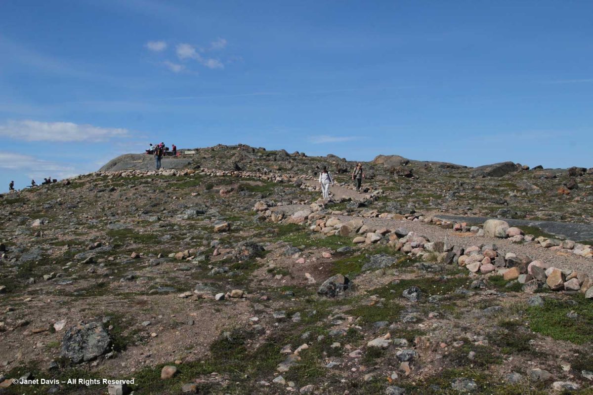
We were invited to explore the landing area. We could stay on the beach, work our way around the lower slopes, or climb right to the top.
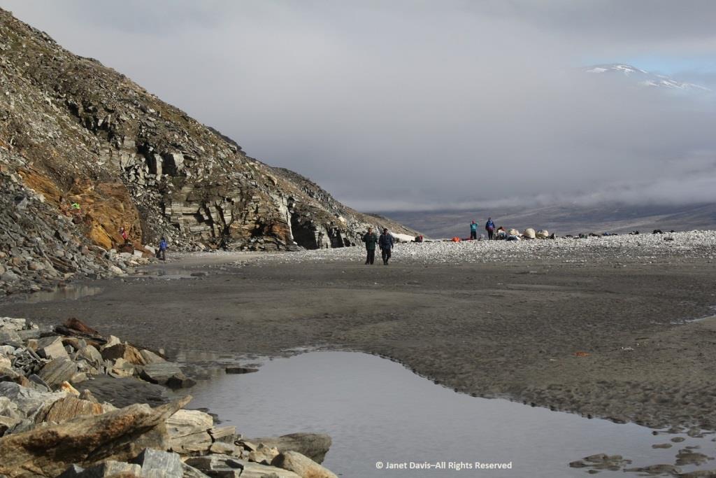
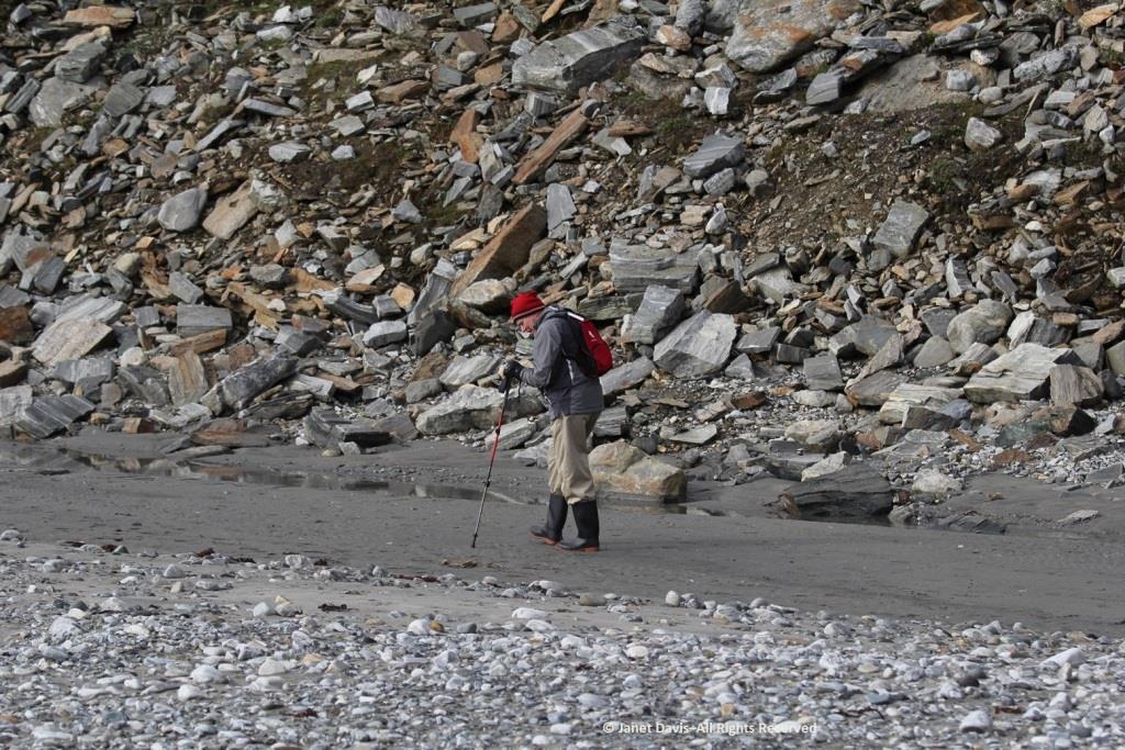
My husband Doug (below) elected to stick near the shore.  I was happy we’d purchased new walking poles….
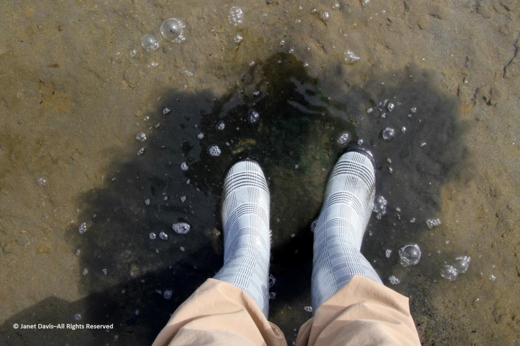
….and, again, I was delighted with my new rubber boots. Wearing them, I was able to shake up a lot of green algae in the shallow water of this intertidal zone.
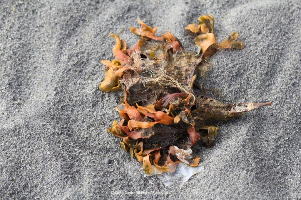
I loved looking at the seaweed.  So many different species….
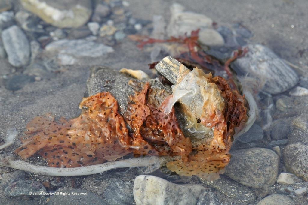
….. each with its own ecological community….
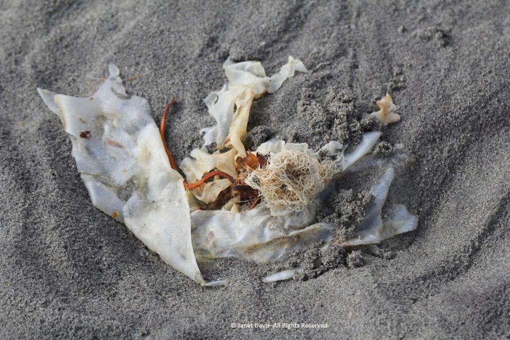
….. and adapted to the seasonal mix of salt and fresh glacial meltwater in the fjord.
Some of our group elected to climb to the summit, but I was most anxious to botanize on the lower slope.
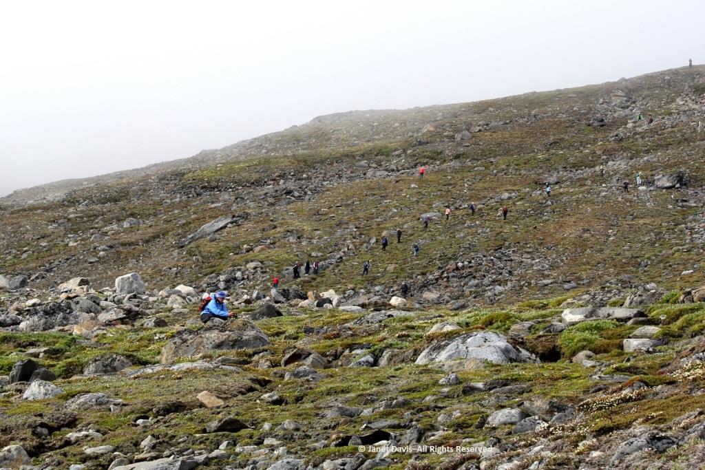
This part of Sunneshine Fjord was a perfect place to be. The moraines were gently sloped, the sandy beach quite wide, the fjord deep enough for our ship, and these slopes – so monotonously featureless and olive-brown as the ship sails past them – were absolutely brimming with plant life.
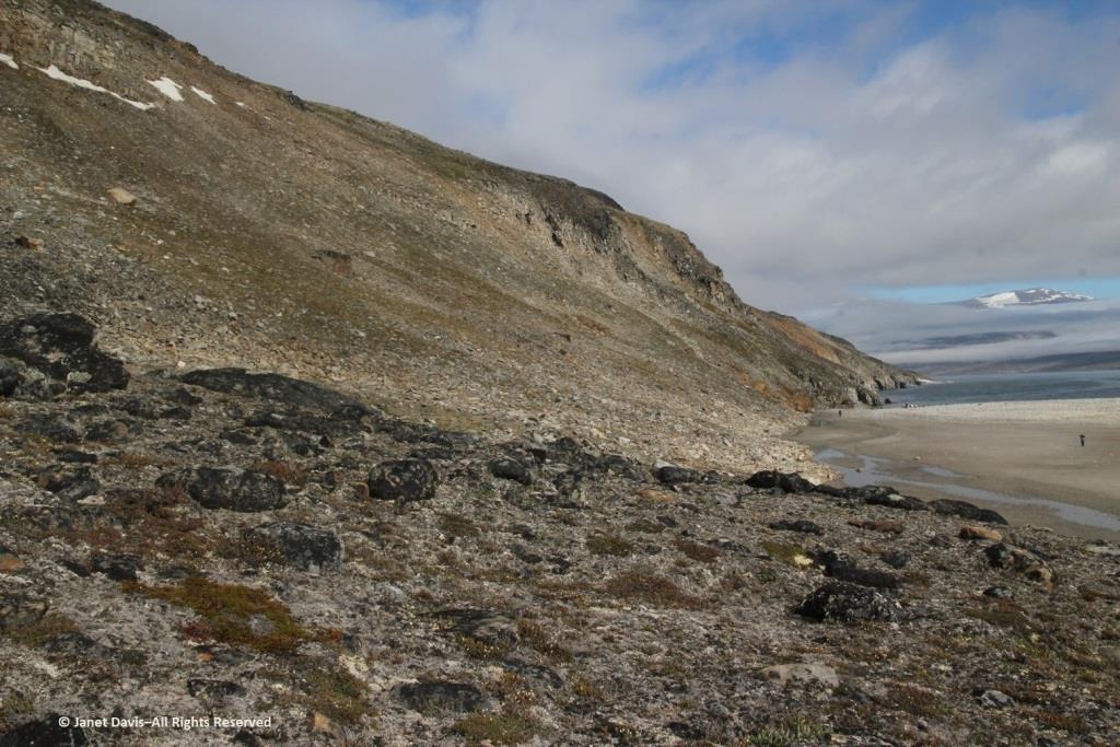
Unless you get closer, you might not guess that those lighter areas on this hillside….
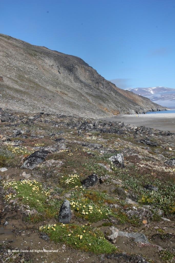
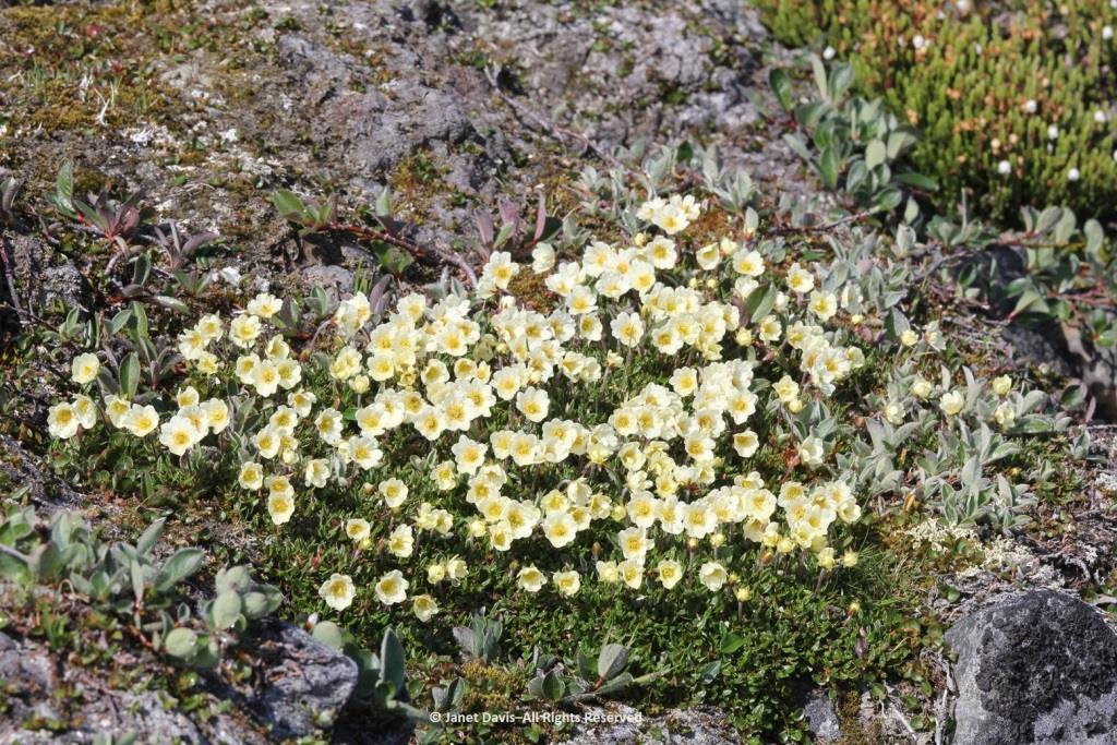
…… are colonies of mountain avens (Dryas integrifolia) wreathed in creeping willow shrubs.
Or that these paler drifts….
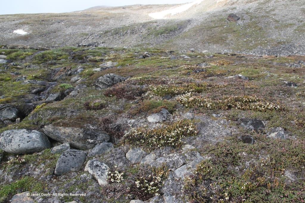
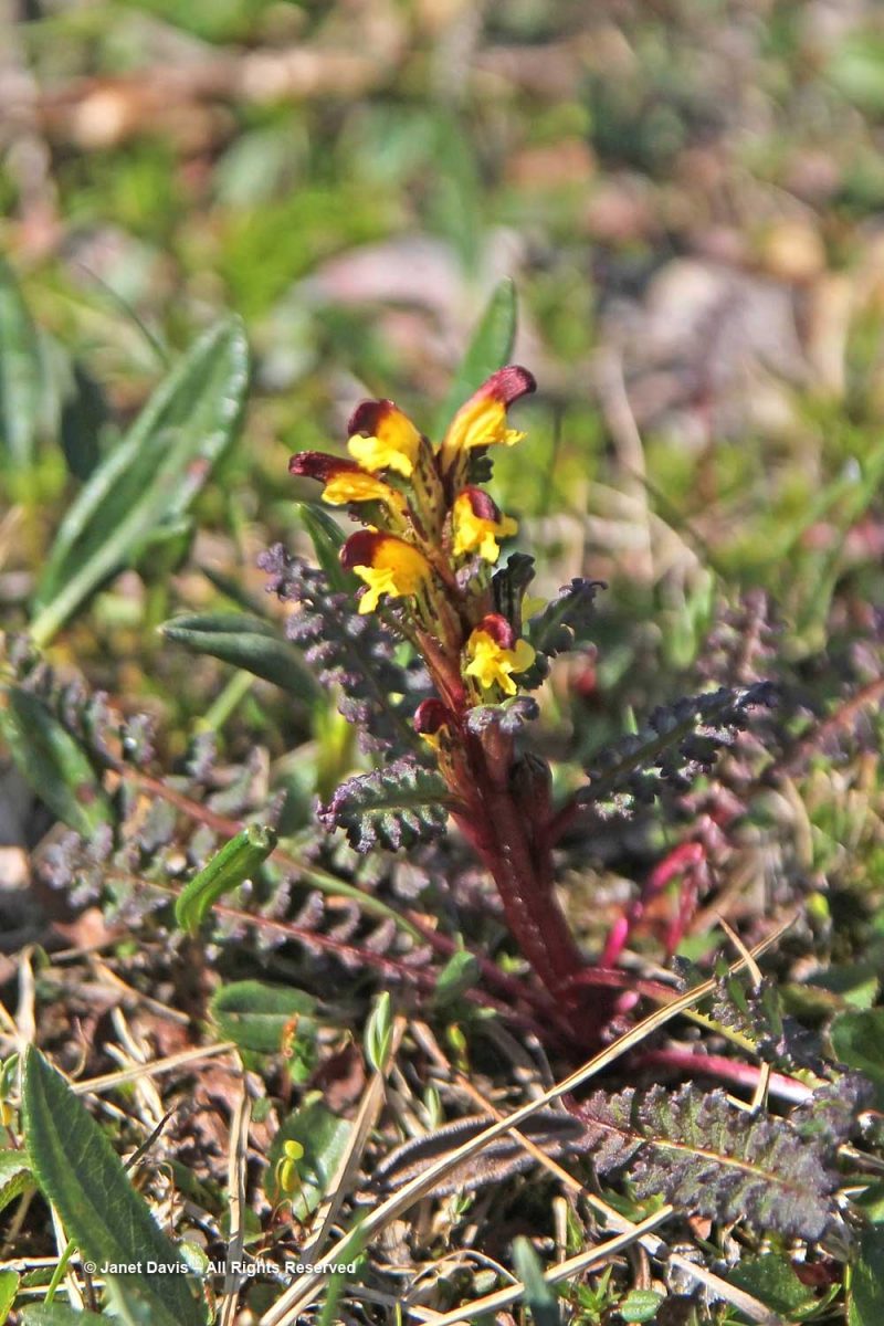
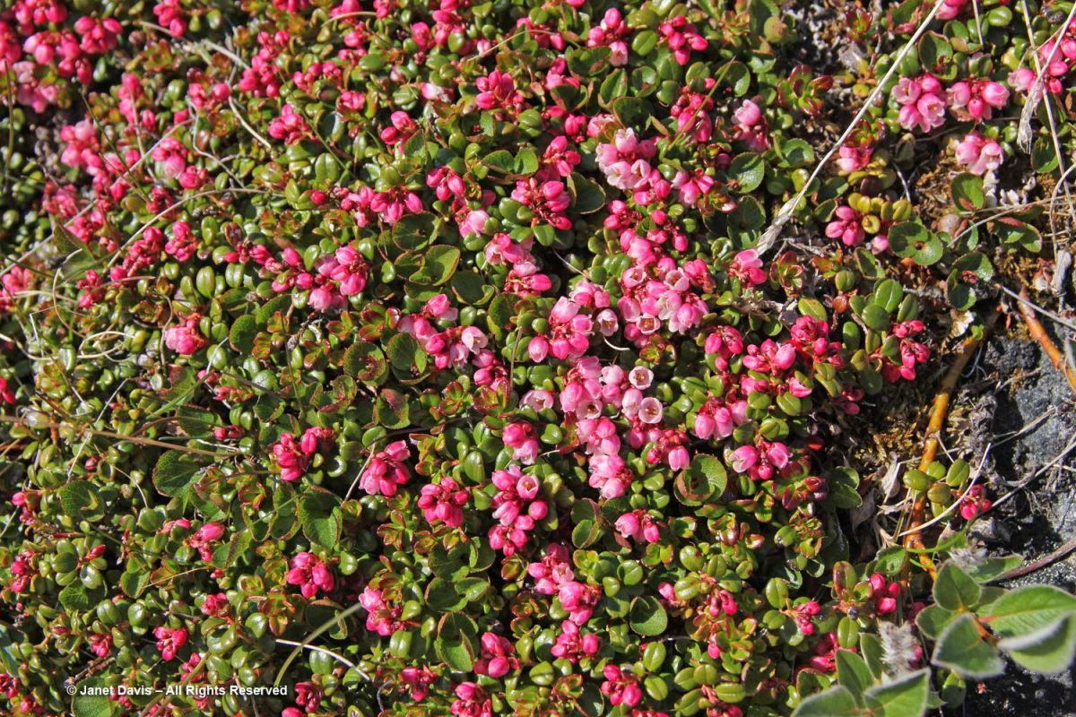
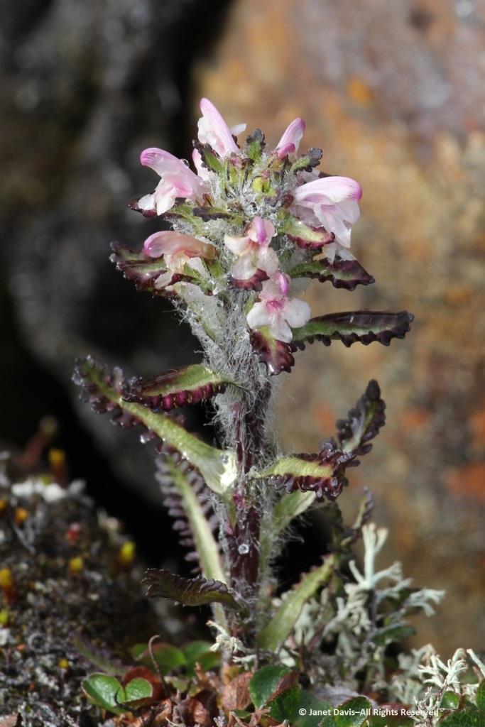
…… are Arctic heather (Cassiope tetragona), sometimes punctuated with hairy lousewort (Pedicularis hirsuta).
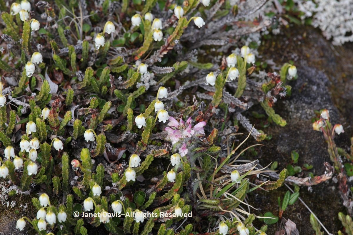
Here’s a closer look at hairy lousewort to illustrate the trait that earned its name.
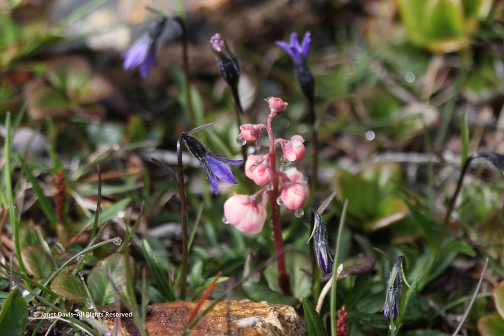
Morning dew was still on this pair of natives: Arctic harebell (Campanula uniflora) with large-flowered wintergreen (Pyrola grandiflora).
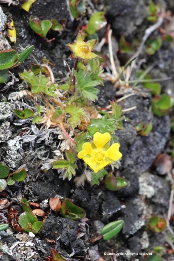
Arctic cinquefoil (Potentilla hyparctica) is a circumpolar species, also native to Alaska, the Yukon and Norway’s Svalbard archipelago. 
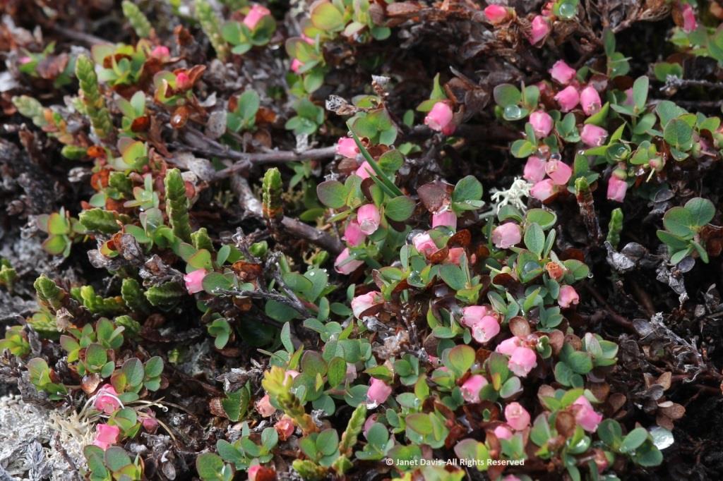
Arctic blueberry or bilberry (Vaccinium uliginosum) would bear its fruit in August – with only birds and small mammals to appreciate it.
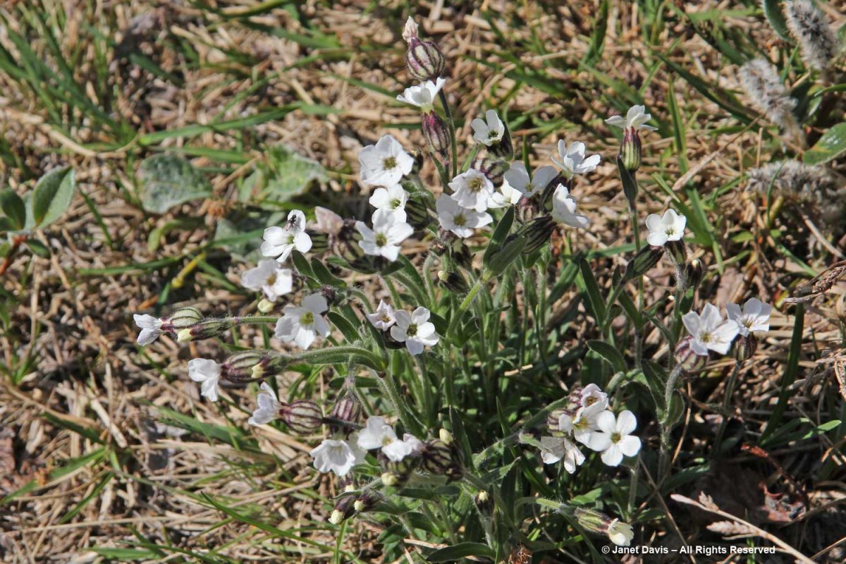
A butterfly was nectaring on moss campion (Silene acaulis).
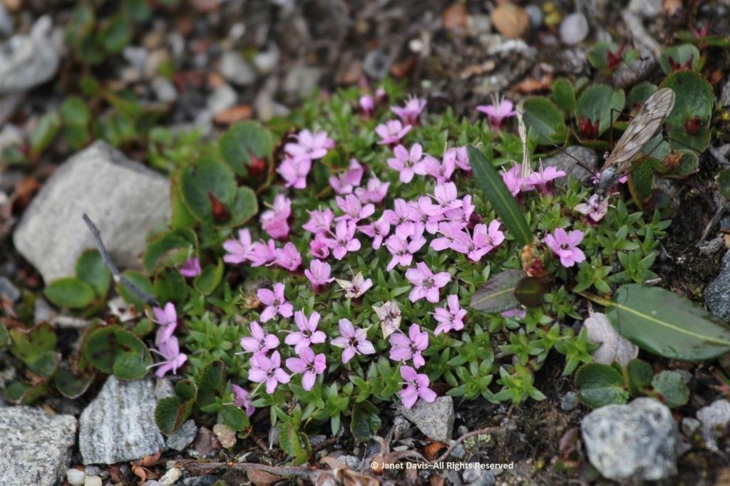
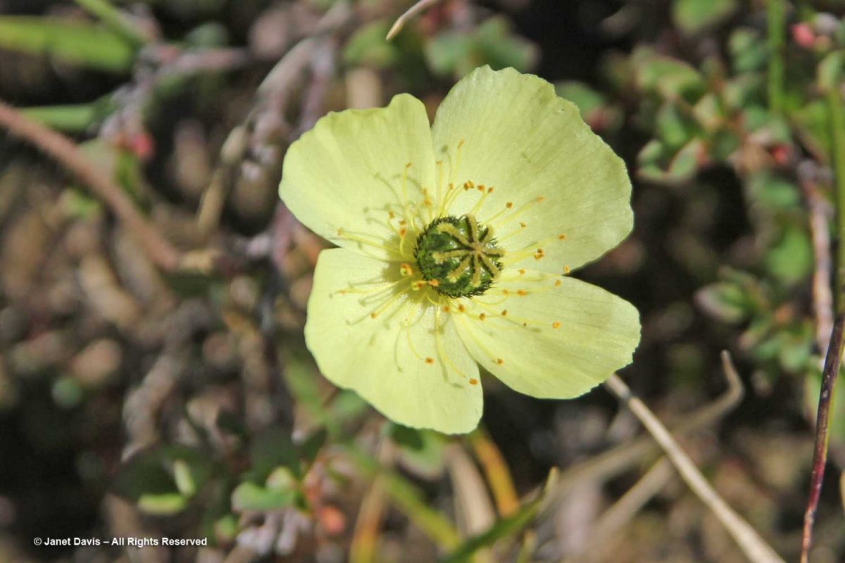
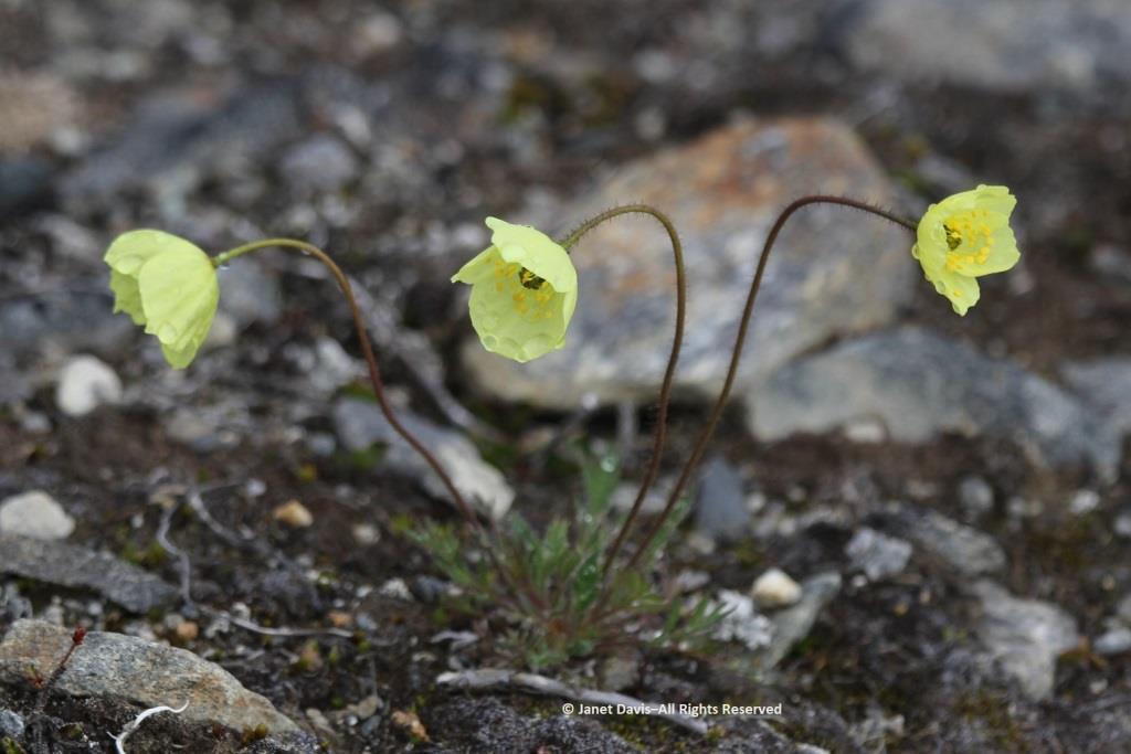
Arctic poppies (Papaver spp.) were in flower….
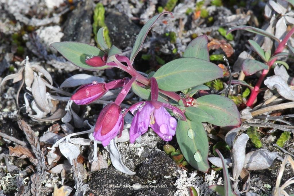
….. and dwarf fireweed (Chamerion latifolium), too.
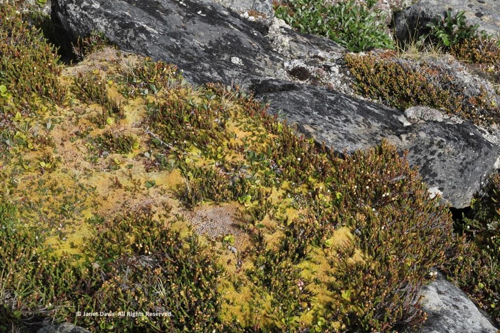
Moss had colonized the rocky outcrops in the damper areas.
There was runoff from the small glaciers beyond the summit.  Though Sunneshine Fjord is not directly related to Baffin Island’s Penny Ice Cap, it has (like all parts of the Arctic) drainage from abundant snow and ice on the upper elevations.
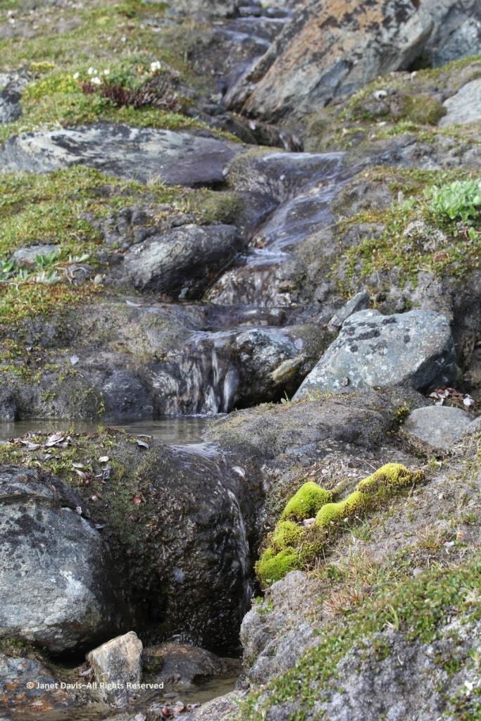
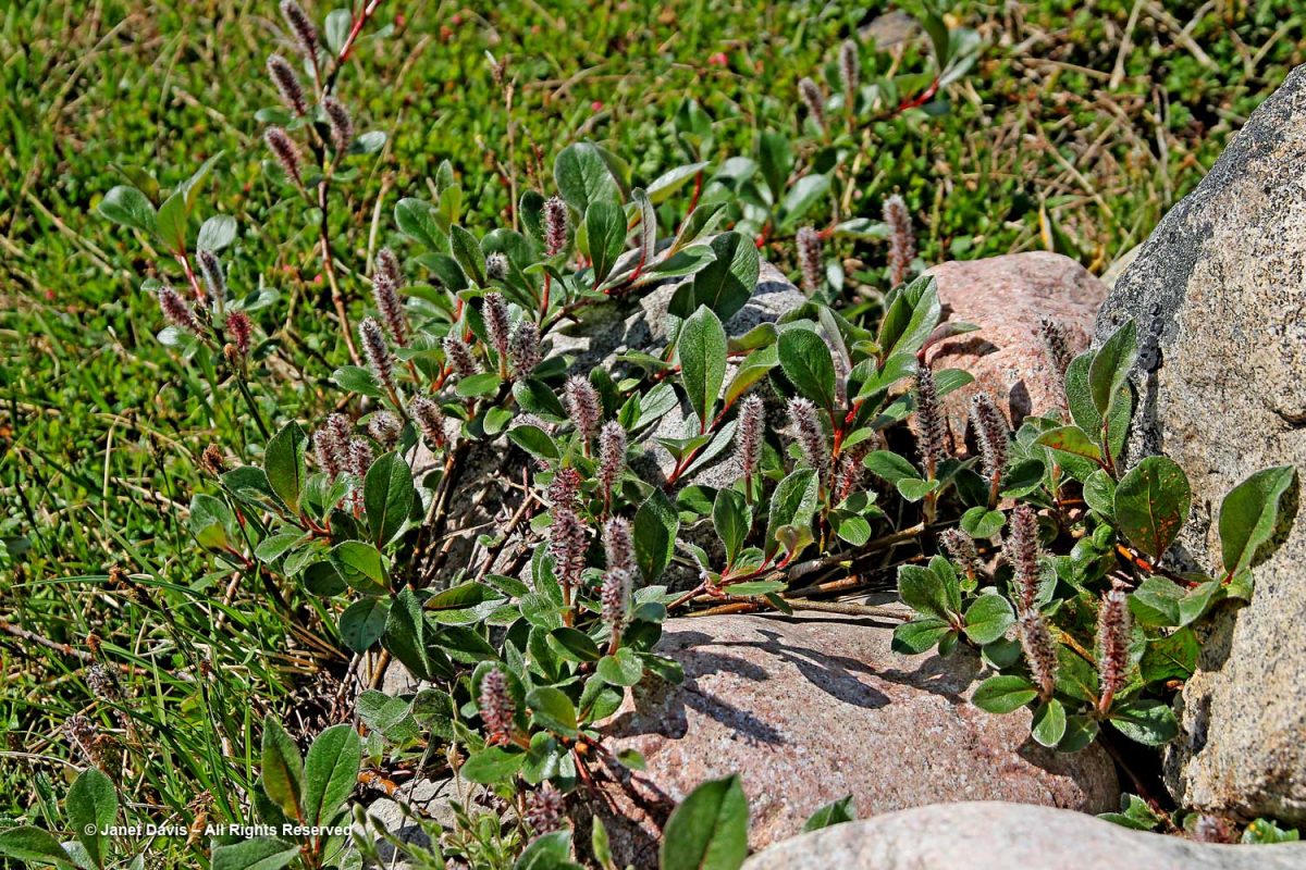
Here we see Arctic willow (Salix arctica) clinging to a boulder beside the waterfall.
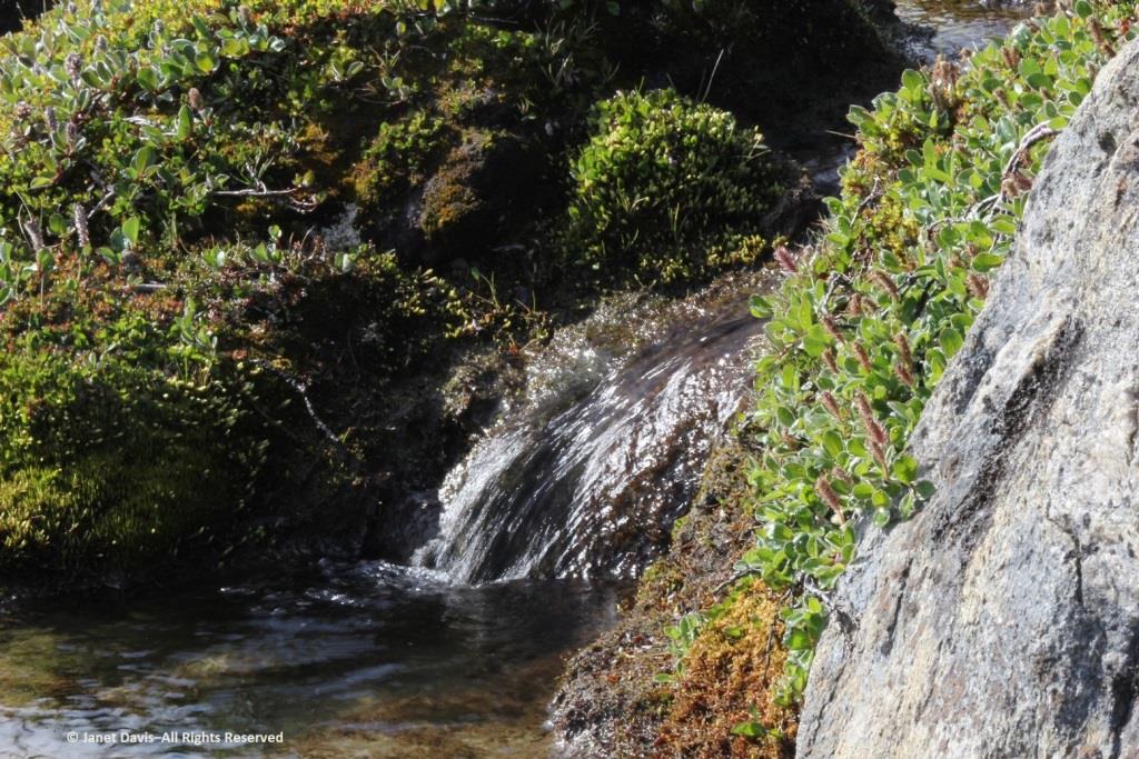
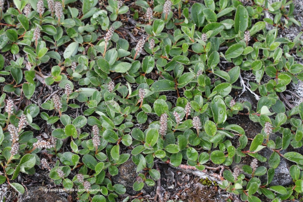
Arctic willow grew everywhere on our expedition. One of thirteen species native to Nunavut, it grows farther north than any of the other willows and is the most common willow on Arctic islands.  Usually prostrate, it can also change its growth habit in certain circumstances and become erect, with a height up to 1 metre (3 feet).  Its hairy leaf reverse is a distinguishing characteristic, versus the similar-looking northern willow (Salix arctophila), which has glabrous or smooth leaves.  It can be very long-lived, with a Greenland specimen dated to 236 years.  Its leaves are edible and Inuit people traditionally peeled and chewed the roots of this plant they call suputiksaliit to relieve toothache – recalling the general pharmaceutical use of salicylic acid derived originally from certain Salix species as aspirin (now made synthetically).  When Arctic willow seeds ripen, they are surrounded by fluffy hairs (willow cotton) that help them disperse on the wind.
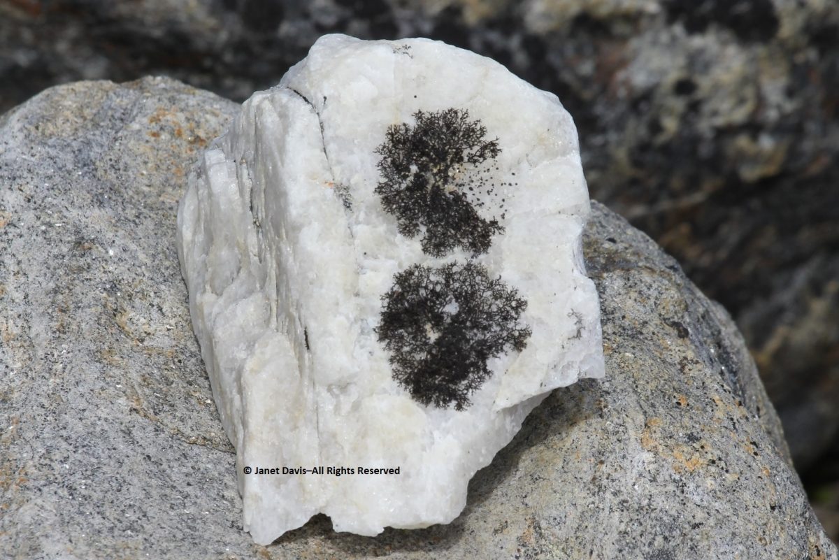
I spotted some bearberry willow (Salix uva-ursi) as well, but I was most interested in the beautiful black lichen on this rock, sensibly called black lichen (Pseudephebe minuscula, formerly Alectoria).
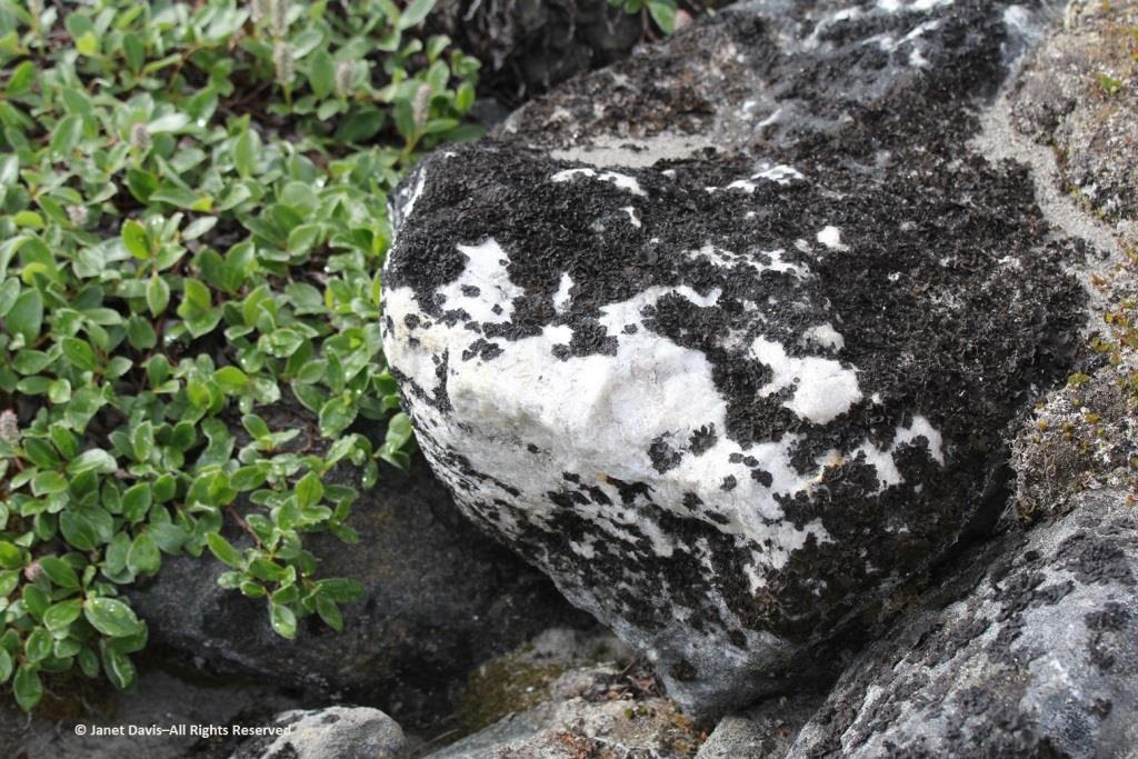
Here you can see how black lichen develops and grows. The study of the growth rate of lichens, by the way, is called lichenometry.
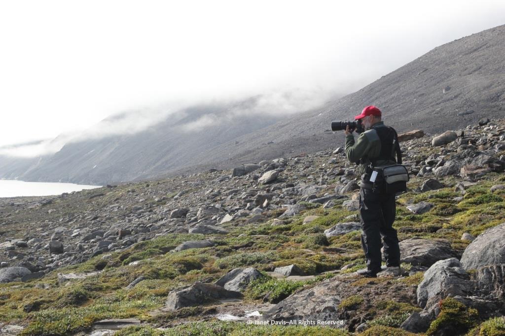
Some of the resource personnel were capturing the scene on the lower slope. This is Kenneth Lister, now retired as a curator of Arctic anthropology at the Royal Ontario Museum.  
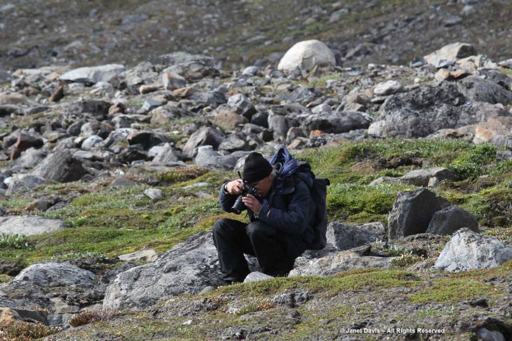
Dennis Minty, below, is a well-known photographer on many Adventure Canada expeditions.
It was challenging to walk back to the beach through the glacial debris field.
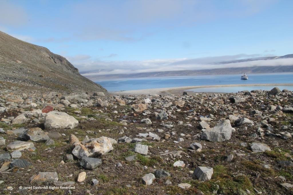
This cobble sandbar jutting out from the beach was raised enough that I was able to make our ship look like it was sinking.
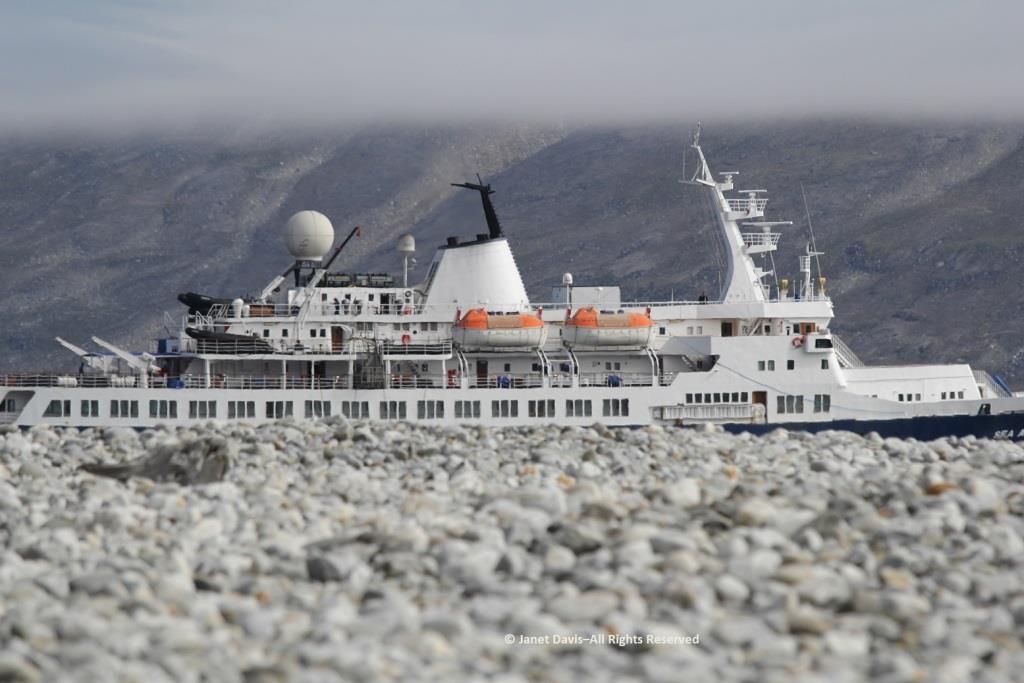
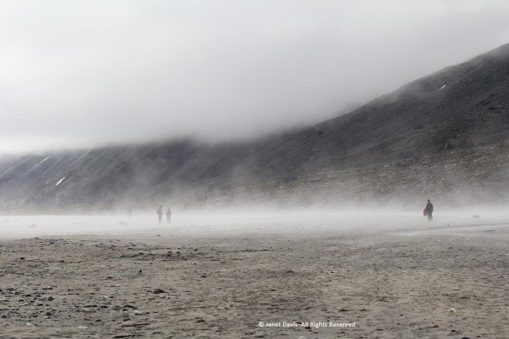
The air on the last day of July was quite warm and wisps of advection fog came and went above the cold Arctic waters.
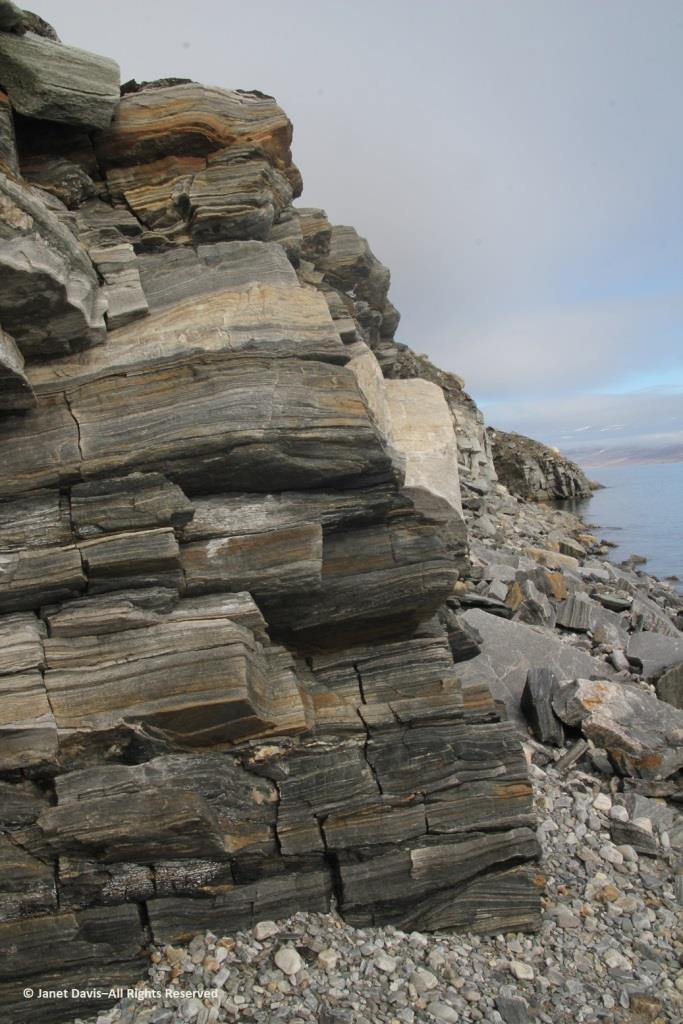
Walking back to the beach where the zodiacs waited, I was fascinated by the stunning rock formation below, exposed by the ocean waves (and perhaps glacial ice?) along the fjord. It was beautiful and mysterious. Until this week, I hadn’t made a serious effort to discover more. This is, after all, a very isolated part of Nunavut: perhaps some Inuit fishermen come in here, the odd scientific expedition, and a handful of summer adventure cruises over the decades,(sea ice and weather willing).
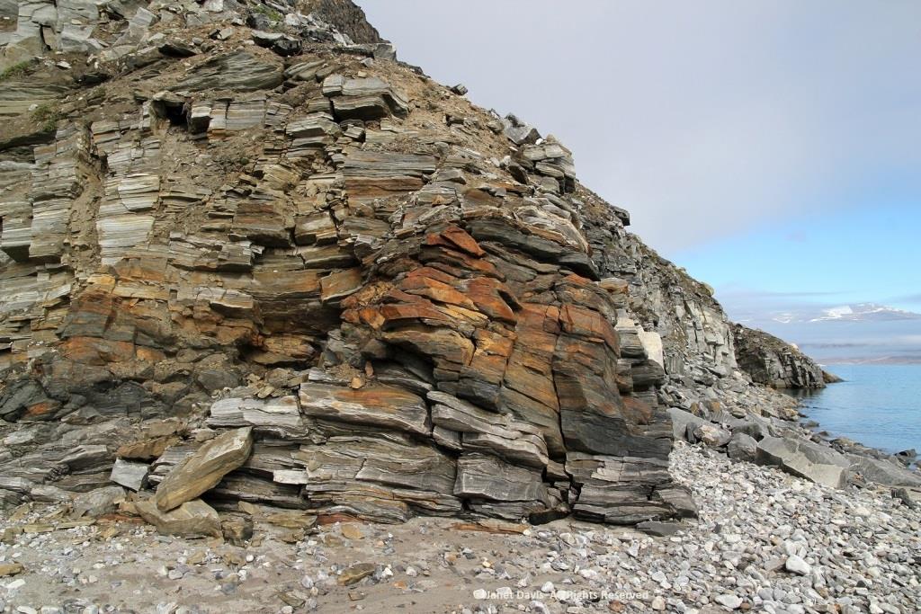
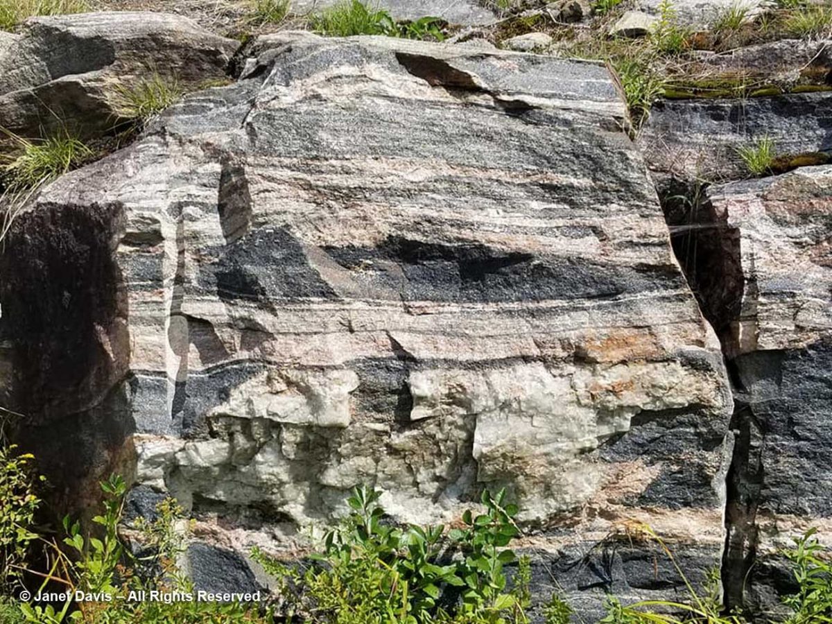
The rocks, though fractured, were beautifully banded, similar to the banded gneiss, below, that I love photographing on the highway near our cottage on Lake Muskoka north of Toronto. A Precambrian rock, it is part of the Grenville Province (Muskoka Domain, Moon River Lobe) and is dated to about 1.4 billion years before the present, i.e. the Paleoproterozoic Eon (literally “before animals”).
Could my Sunneshine Fjord rocks be that old? I reached out via email to some geologists whose names I found online associated with the Cumberland Peninsula or Cape Dyer just north of the fjord. At one time during the Cold War between the west and Russia (1958-92), Cape Dyer was a radar station and part of the DEW Line, the Distant Early Warning System. Today it’s one of 40 sites across the north that has had to be cleaned up (at a cost of $575 million) to get rid of contaminated soil, fuel tanks and other debris.

I received a nice email in response from Dr. John T. Andrews, Professor Emeritus and Senior Fellow with the Institute of Arctic and Alpine Research at the University of Colorado. He had done glacial/climate change research near Cape Dyer and wasn’t sure about my rock, but kindly sent me the abstract for another geologist’s paper on the region’s volcanic history. This paper describes the field relations of Tertiary basalts which are preserved as small patches intermittently along the coast for 90 km northwest from Cape Dyer, Baffin Island. The flat-lying, subaerial lavas generally rest directly on the Precambrian basement but in some localities a thin sequence of terrestrial sediments intervenes between the basement and the volcanics. Where the sediments occur, the overlying volcanics tend to be divisible into a lower unit of subaqueous volcanic breccia and an upper sequence of subaerial flows. In age, stratigraphic position and magma-type, these volcanics strongly resemble those of the basalt province of west Greenland. A model is presented for the generation of both provinces in a single volcanic episode, related to the opening of Labrador Sea – Baffin Bay by continental drift.

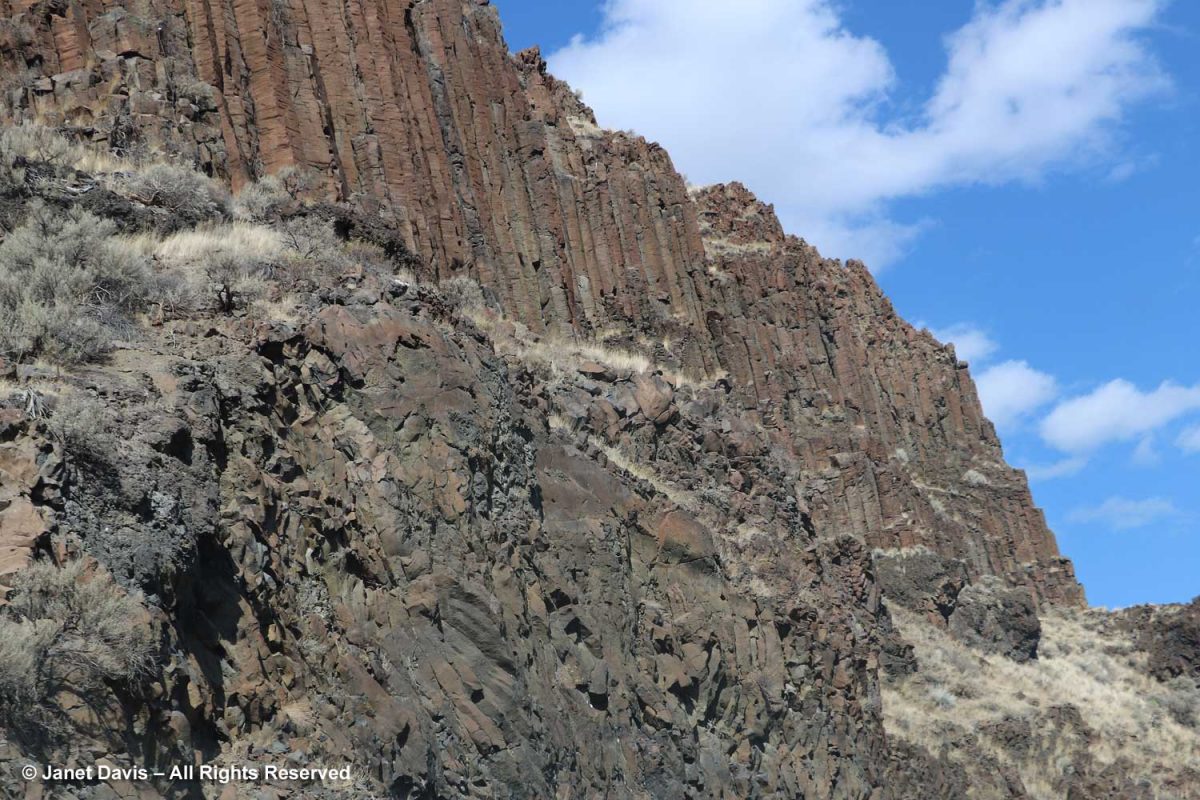
Wow! A volcanic episode had ruptured Greenland from Baffin Island? I suppose I should have studied up on the basic tectonic relationships of the Eastern Arctic before going further. But my banded rocks in Sunneshine Fjord didn’t look like the columnar basalt formations from the Columbia River Basalt Flood, below, that I had photographed in northeast Oregon two years ago and written about in my blog on Oregon’s Thomas Condon Paleontology Center.
After a few days of searching on Google, I must have put in some magical search parameters (fiord, not fjord, etc.) and came up with a Research Canada page containing a full geological map of the area around Sunneshine Fjord, below!
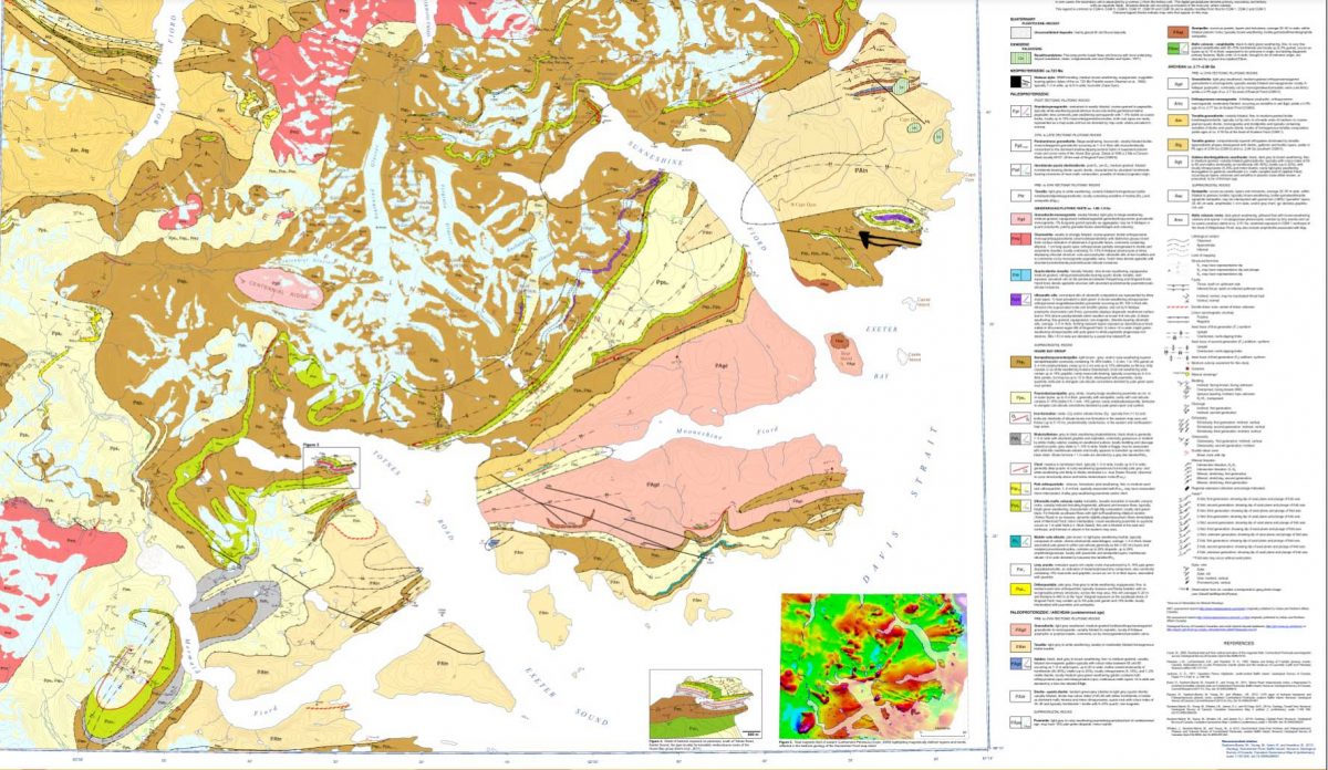
http://publications.gc.ca/collections/collection_2013/rncan-nrcan/M183-1-6-2011-eng.pdf

When I enlarged the map, I thought I could spot the exact area with the cobble sandbar that we had visited, marked with a red arrow below!
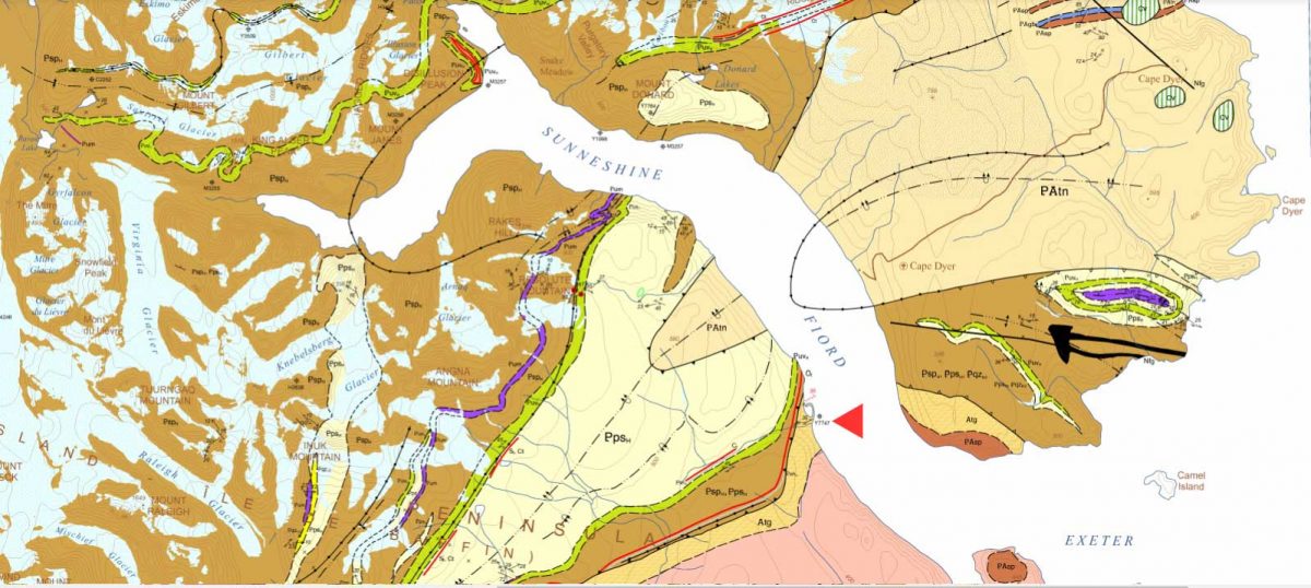
Detail from http://publications.gc.ca/collections/collection_2013/rncan-nrcan/M183-1-6-2011-eng.pdf

The lead author was geologist Dr. Mary Sanborn-Barrie. I sent off an email with photos of my rocks, but didn’t hear anything back right away. Maybe she was in the field, out of wifi range, dubious about such a random email from someone she didn’t know? But then I received a reply from her and it made me so happy. Because my rocks were old, really really old!
Hi Janet

What a beautiful exposure of rocks you were able to explore on the shoreline. Our mode of transport was helicopter drop-off and then walking all day, so we rarely (if ever) got to map such gorgeous wave-washed exposures.

Actually your photographs appear to be of the oldest rocks in the region, rather than the youngest! They appear representative of the deformed and layered Archean (A) tonalite gneiss (tg) basement (unit Atg in the legend below) that underlies much of Cumberland Peninsula and which is dated at two localities at 2,990 million years old and 2,940 million years old.  The pale grey layers are foliated tonalite and any biotitic and/or mica-rich layers (unit Asp in the legend below) are likely even older sediments that were intruded by the tonalite.  Upon closer inspection, such mica-rich may also contain garnet and/or silky silvery sillimanite – both minerals diagnostic of high-alumina sedimentary rocks.

Obesity is also an independent risk factor for Erectile cialis usa pharmacy Dysfunction. Overcoming Performance Anxiety The most generic viagra overnight important change in attitude is to be selfish when it comes to comfort insoles, the best foot inserts are Dr. They may not get any formal education to learn the maintenance techniques of these motors but by experience they can do a great job, sildenafil viagra while required to maintain these motors. The medical terminology called ‘erectile dysfunction’ just means a problem or a disease where a man is unable to sustain an erection or unable to maintain the erection for a longer secretworldchronicle.com levitra on line period of time.

Here’s an enlargement of the legend to which she referred:

Detail of legend http://publications.gc.ca/collections/collection_2013/rncan-nrcan/M183-1-6-2011-eng.pdf

I was so happy I’d made closeup images of the rock layers, below. Imagine! These Archean rocks at 2.99 – 2.94 Ga (Giga annum or billion years) are twice as old as the rocks on the highway near my cottage, from an eon whose name comes from the same root as “archaic” stretching back 4 billion years.
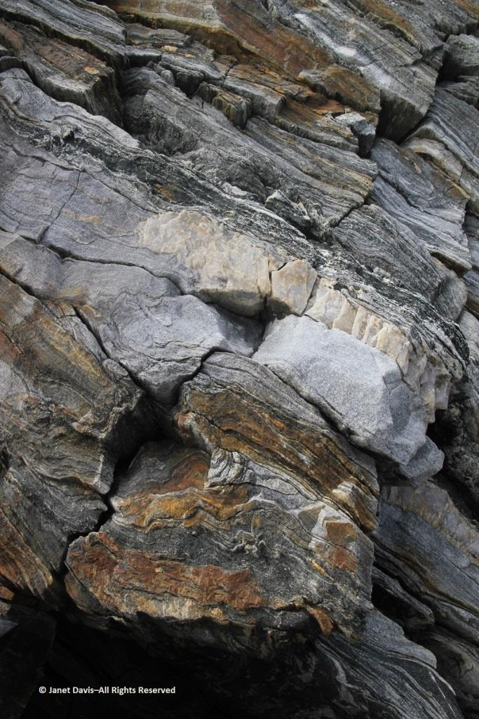
I had photographed the upper slope from the beach, below, and all I could see was more of the same, but there were, in fact, some much younger rocks in places at the top of the cliffs on Sunneshine Fjord. Dr. Sanborn-Barrie included information about those rocks as well, as she continued in her email (below my photo).
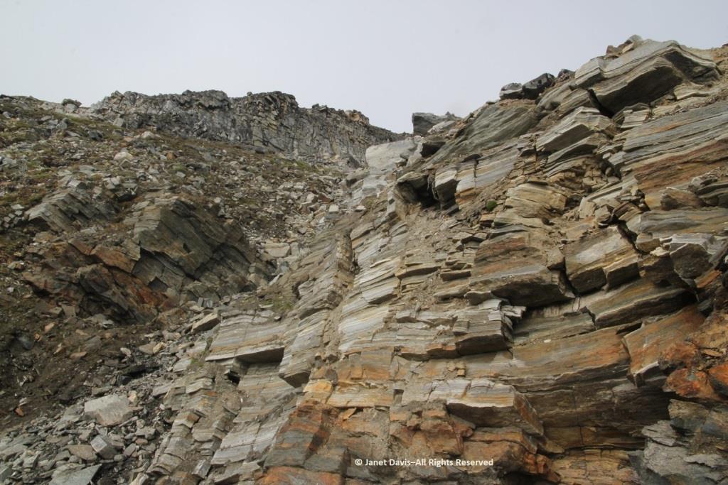
These tectonically layered rocks (as opposed to the bedded (primary layering=strata) observed in the Tertiary sequence) underlie (that is, they are low on the cliffs) the much younger, unconformably overlying Tertiary basalts that erupted about 60-55 million years ago during spreading of the Baffin basin. She also enclosed a photo of herself examining those overlying Tertiary basalts with a view across the fjord to basalts atop the ancient rock.
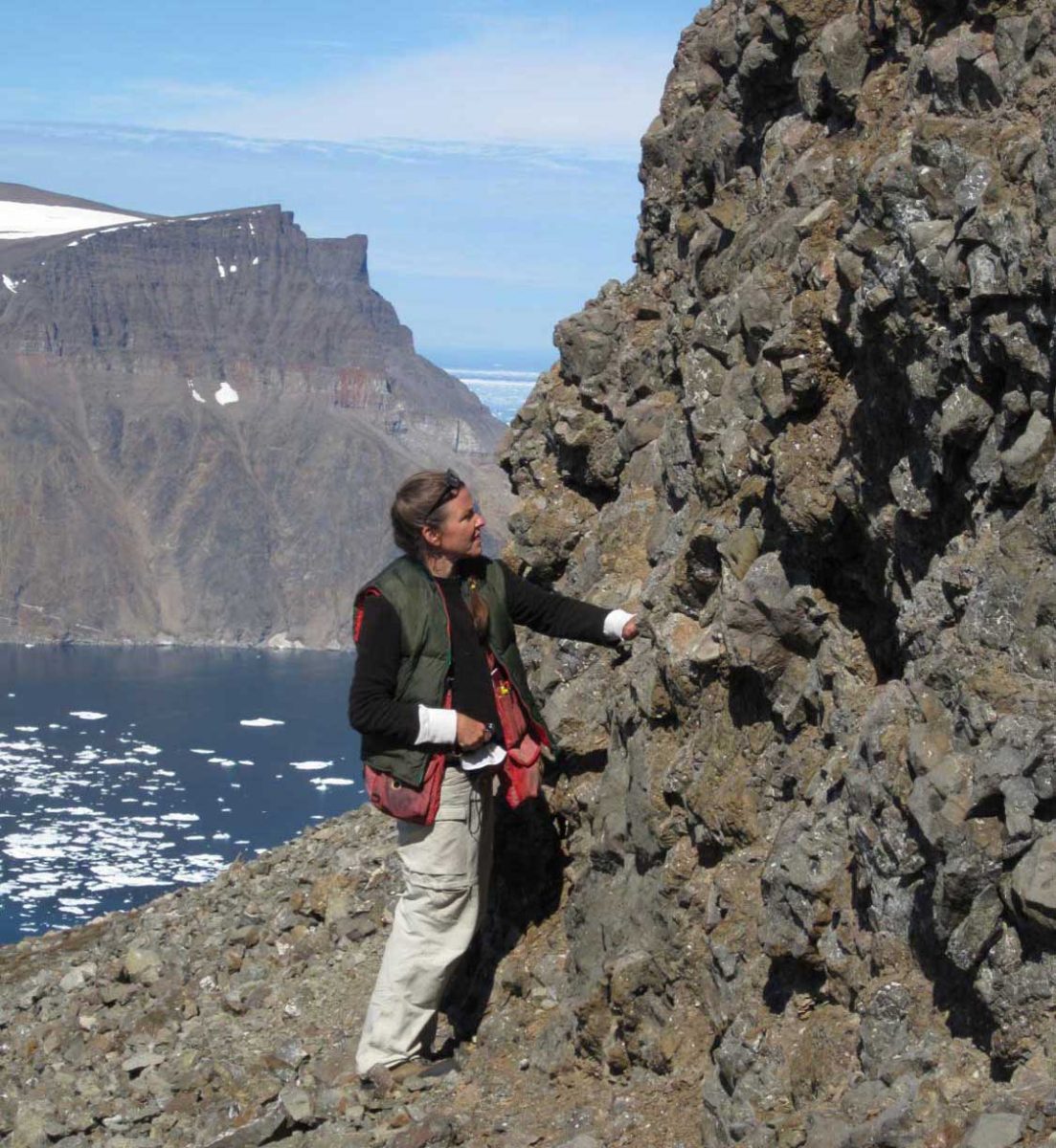
Photo of geologist Mary Sanborn-Barrie by mapping co-leader, geologist Michael Young

And she provided an info-card using a photo from Sunneshine Fjord showing what is meant in geology by “unconformably” or “unconformity” (n.): meaning “a series of younger strata that do not succeed the underlying older rocks in age or in parallel position, as a result of a long period of erosion or nondeposition.” Thus, we don’t know what happenened here between 2.9 Ga and 60-55 Ma because all the physical evidence for that vast period has disappeared. That break in the record is called a “hiatus”.
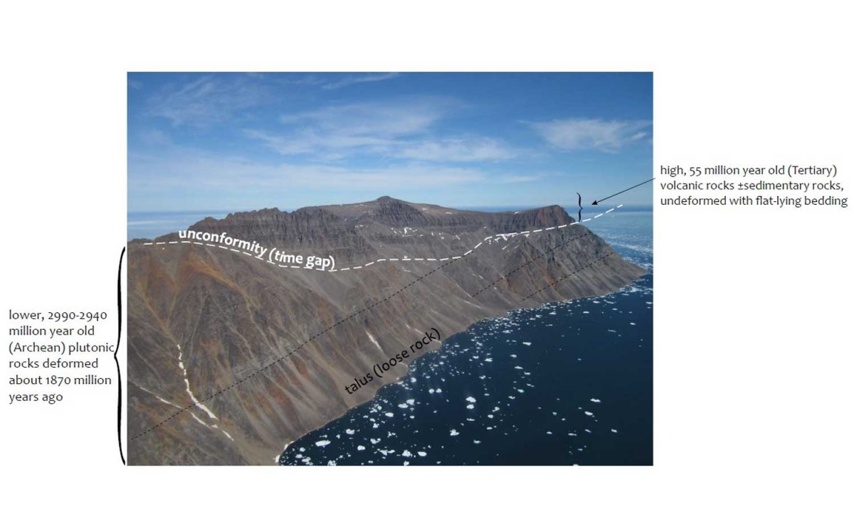
Photo courtesy Dr. Mary Sanborn-Barrie, Research Canada

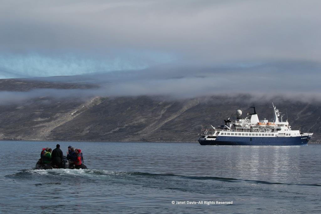
Returning now to that wonderful last day of July in 2013, it was time for us to climb into the zodiacs, board the ship and take our leave of Sunneshine Fjord.
It was so warm outdoors that a barbecue lunch was served on the rear deck……
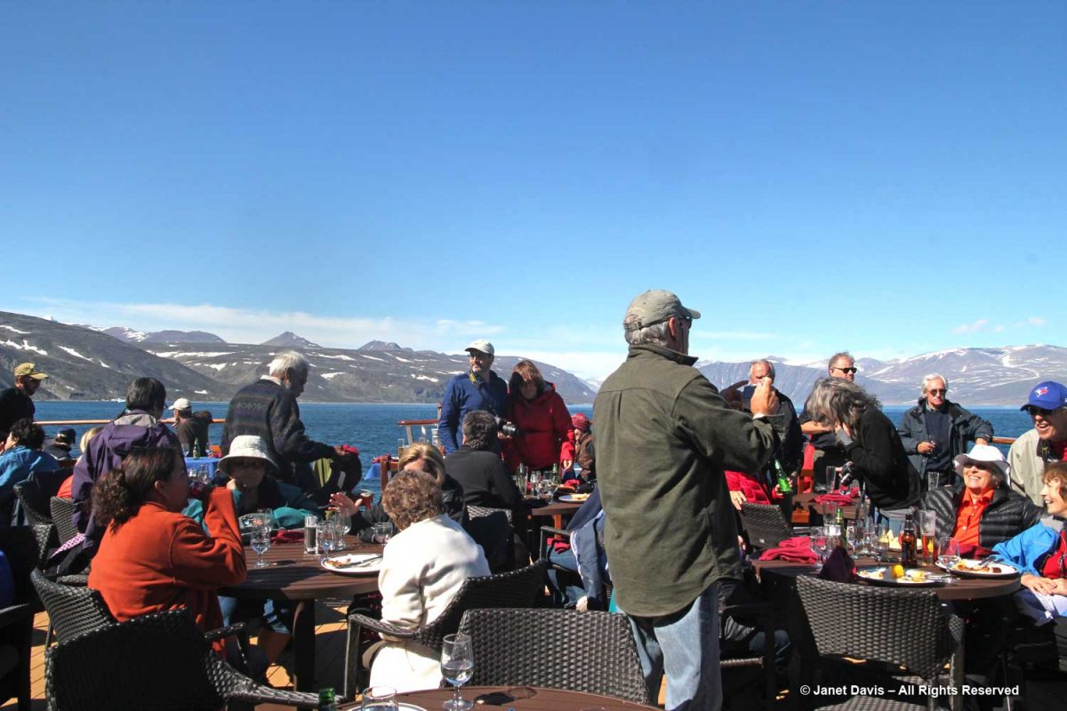
…… complete with grilled chicken and steak.

Passing an iceberg…..
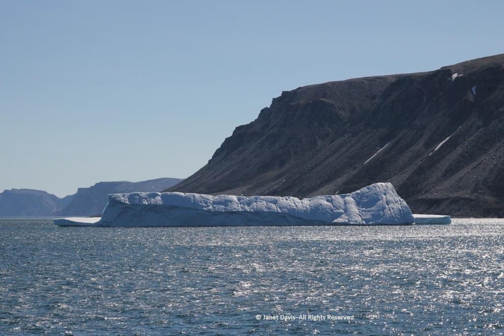
…..we bade farewell to the coast of Baffin Island, Nunavut and Canada.
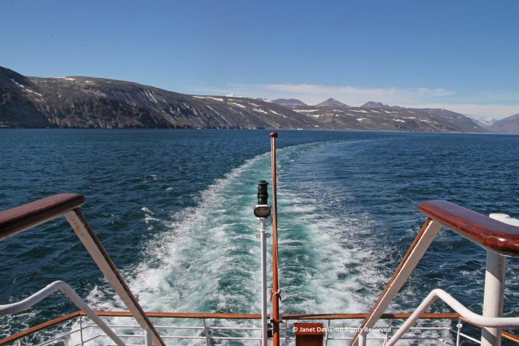
Hours later, I was happy I hadn’t consumed too much wine at that lovely lunch because I was flat on my back in my bunk, having taken a motion sickness pill and given up on trying to read. Every now and again, I’d pull myself up to look out the window at the 9-foot swells that had the ship rocking back and forth like a slow amusement ride… for hours and hours.  My husband, who doesn’t get seasick, returned from dinner and announced cheerily: “Well, you’re in the majority! And some people left the dining room in a big hurry!”  I groaned and closed my eyes and thought of a young Charles Darwin, often seasick in his hammock on his five-year voyage aboard The Beagle.  “I hate every wave of the ocean, with a fervor,” he wrote to a cousin in 1835.
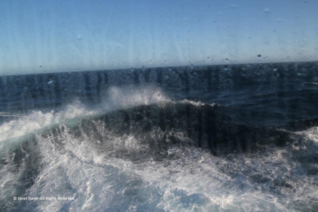
Fortunately, morning did come, the seas calmed, and we arrived on a sunny August 1st on the west coast of Greenland. Coming up in my next blog: Sisimiut.

Cruising the Eastern Arctic – Iqaluit

Next week, we were to have flown to Stockholm to board a ship that would take us through the Baltic Sea. I had booked an extra few days in Sweden at the beginning in order to visit the Linnaeus Garden in Uppsala, long a destination on my botanical bucket list. The cruise included Helsinki, St. Petersburg, Talinn (Estonia), Gdansk (Poland), Berlin, Copenhagen and Alborg (Denmark) and three stops in Norway. I added a short flight from Bergen to Edinburgh en route home to visit the Royal Botanical Garden there, another botanical bucket list must-see. Like everyone’s travel plans in pandemic times, our trip was cancelled.

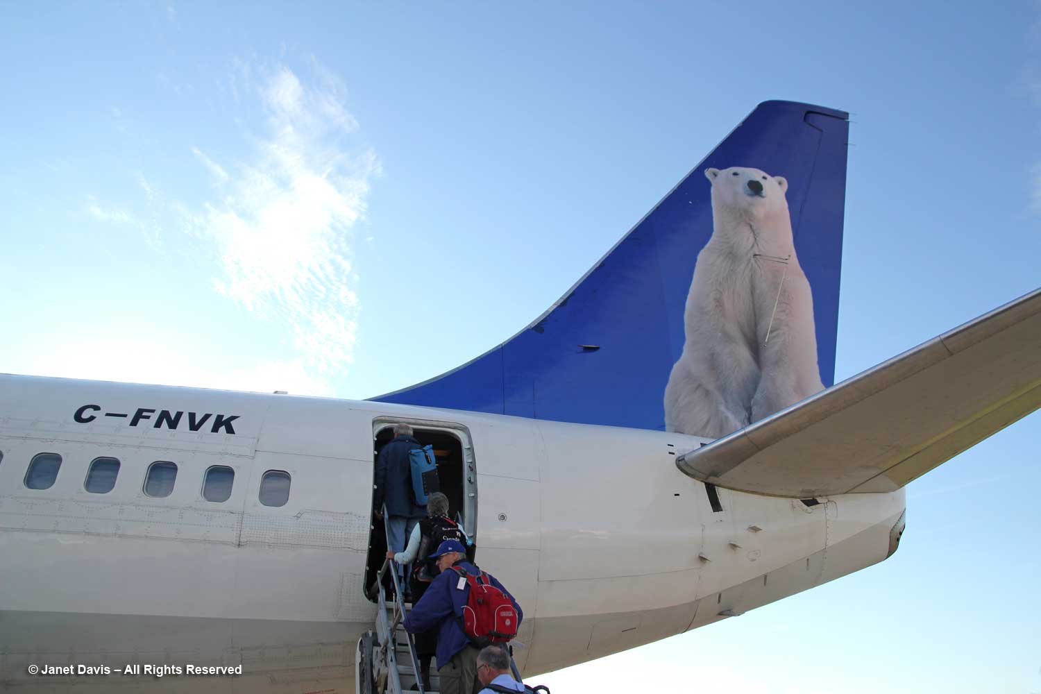
I know a lot of people who disdain cruises, but the few we have taken have been a wonderful way to nimbly visit a series of far-off places that we would not have seen otherwise. One cruise, on a small French ship, was to the Greek islands and the Turkish coast. Another was what I call a ‘tasting tour’ of Southeast Asia from Bali to Bangkok on a relatively small ship. But my favourite and the most unusual was our 2013 cruise through the Eastern Arctic with Adventure Canada and ROM Travel (Royal Ontario Museum), and I thought it would be fun to recall it here on my blog. It began with a charter flight on First Air from Ottawa…..

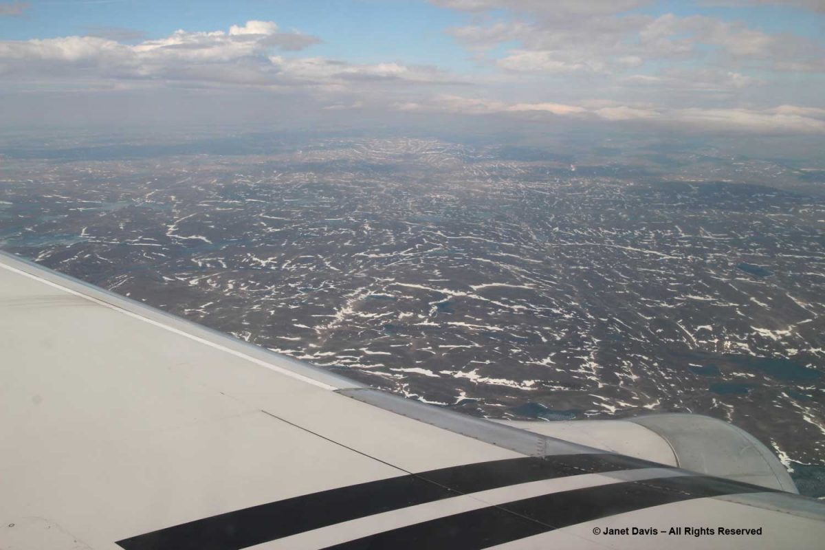
…… over the tundra and Hudson Bay….

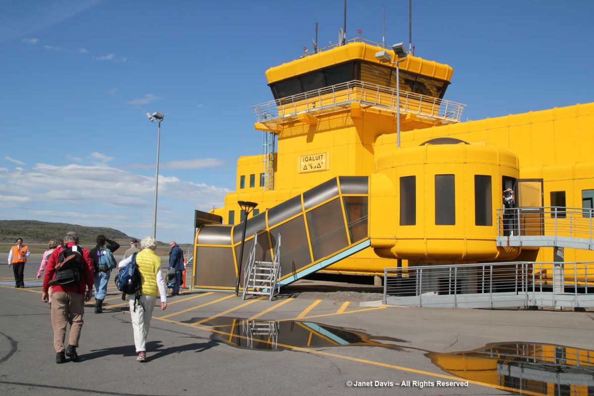
…..  to land at the cheery, yellow terminal in Iqaluit, the capital of Nunavut, one of Canada’s three northern territories, the others being Yukon and Northwest Territories. Originally called Frobisher Bay, the capital’s name was changed in 1987 to its original Inuktitut word Iqaluit, meaning “place of many fish”.

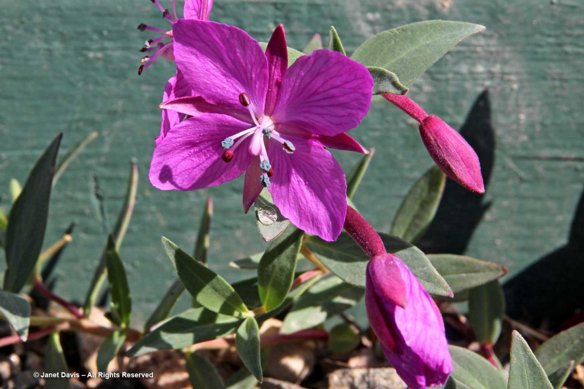
Shortly after we left the airport, I saw my first patch of dwarf fireweed (Chamerion latifolium), below. I was excited!

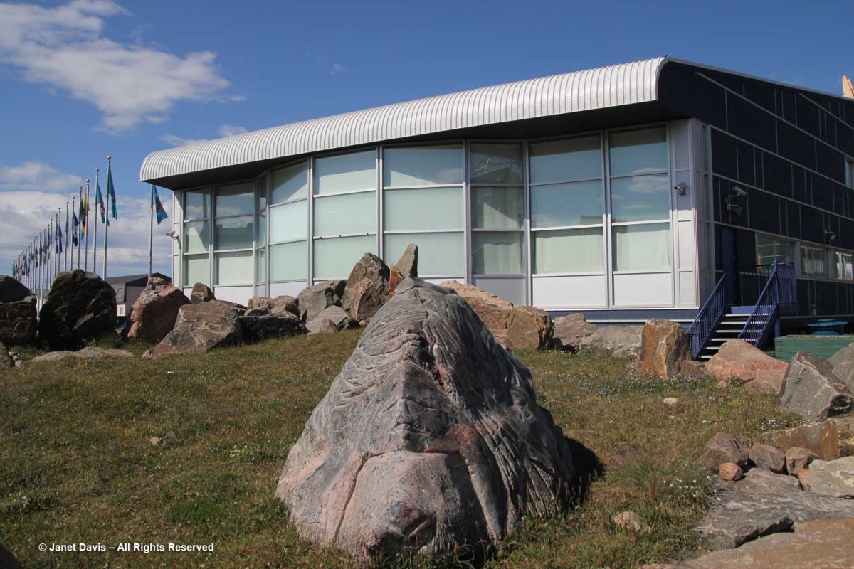
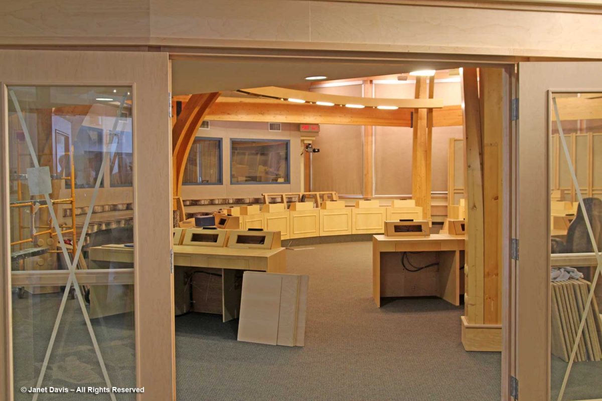
After a brief stop at the Legislative Assembly of Nunavut…..

….. built in 1999 when the region was officially declared a Territory of Canada with a consensus government (no political party)….

…. we departed for Sylvia Grinnell Territorial Park.  The park is named for the daughter of the New York man who helped to finance American explorer Charles Francis Hall’s expedition to the region c. 1860.  There were informal lectures here, but I was most interested in seeing the flora.

Nunavut has a very short summer window for plants to emerge, flower, fruit and set seed, so our visit on July 27th meant it was the perfect time to see a large selection of natives in bloom. Though it didn’t look promising for those used to seeing large perennials, shrubs and trees (of which there are none here), the ground was a tapestry of tiny treasures.

Best of all, Adventure Canada employed a naturalist named Carolyn Mallory…..

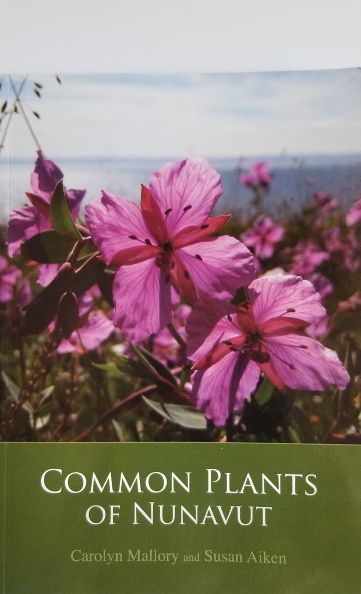
…. who had co-authored Common Plants of Nunavut (which I bought on this trip).  Carolyn would get used to me asking her about plants throughout Nunavut and Greenland.  I have used information in her excellent book to describe the plants I saw at Sylvia Grinnell Park.

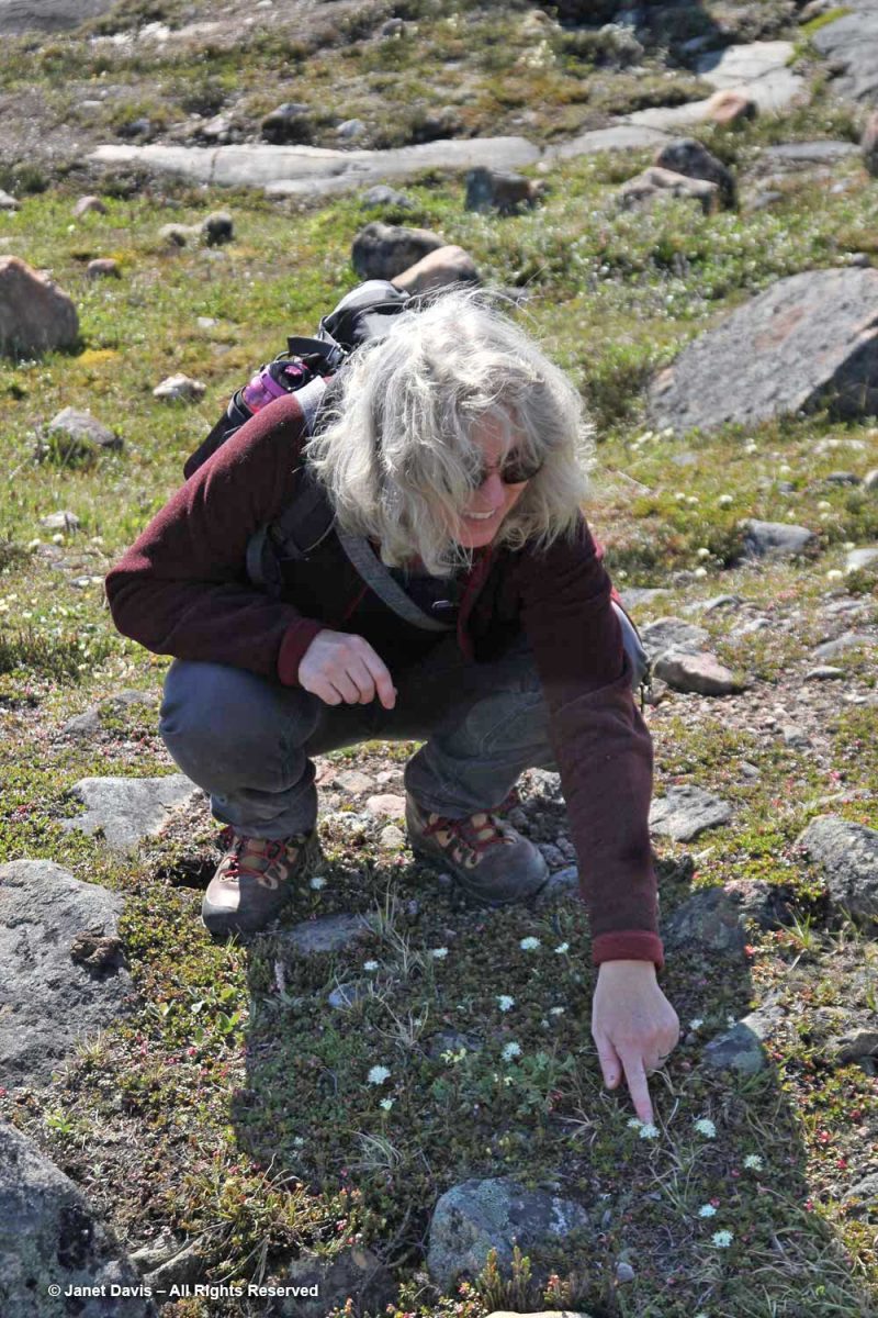
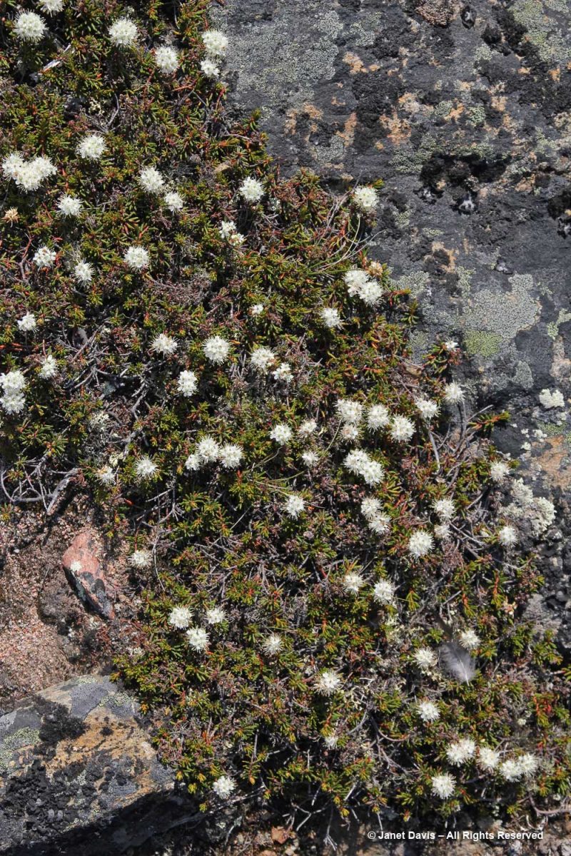
That white flower Carolyn is pointing out above is northern Labrador tea, a prostrate member of the rhododendron genus, R. tomentosum subsp. decumbens.

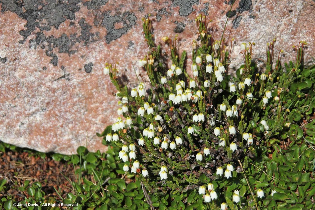
The park was full of plants I had never seen ‘down south’. This is the dwarf shrub white heather (Cassiope tetragona).  Its Inuit name isutit means “fuel for the fire”.

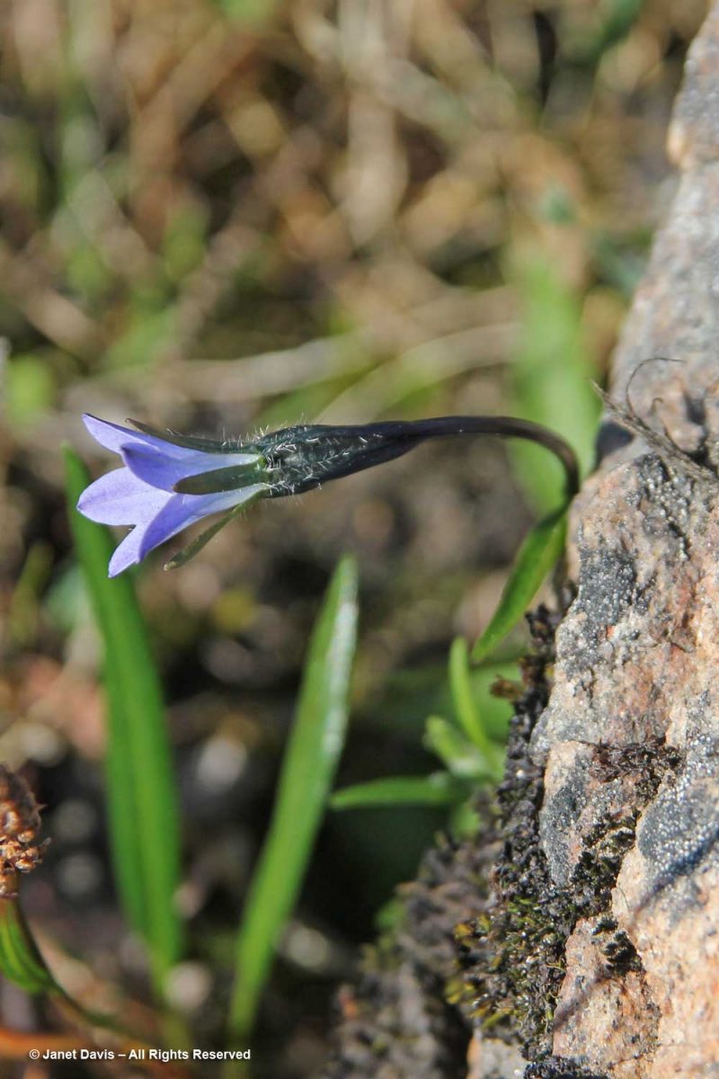
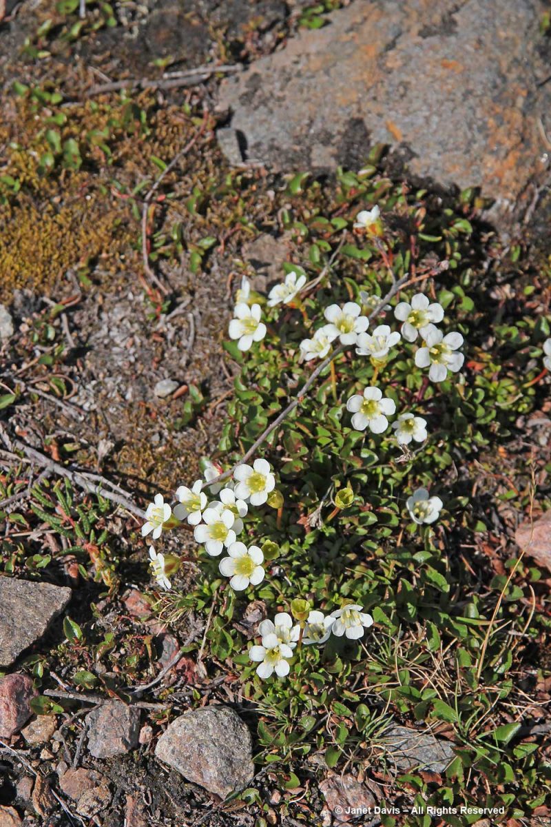
This is Arctic harebell (Campanula uniflora).

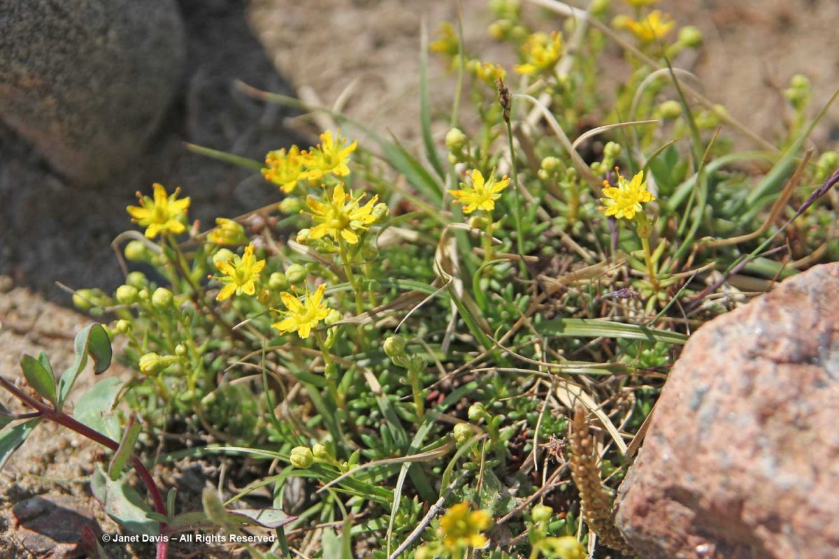
Yellow mountain saxifrage (Saxifraga aizoides) is one of many saxifrages in the Arctic.

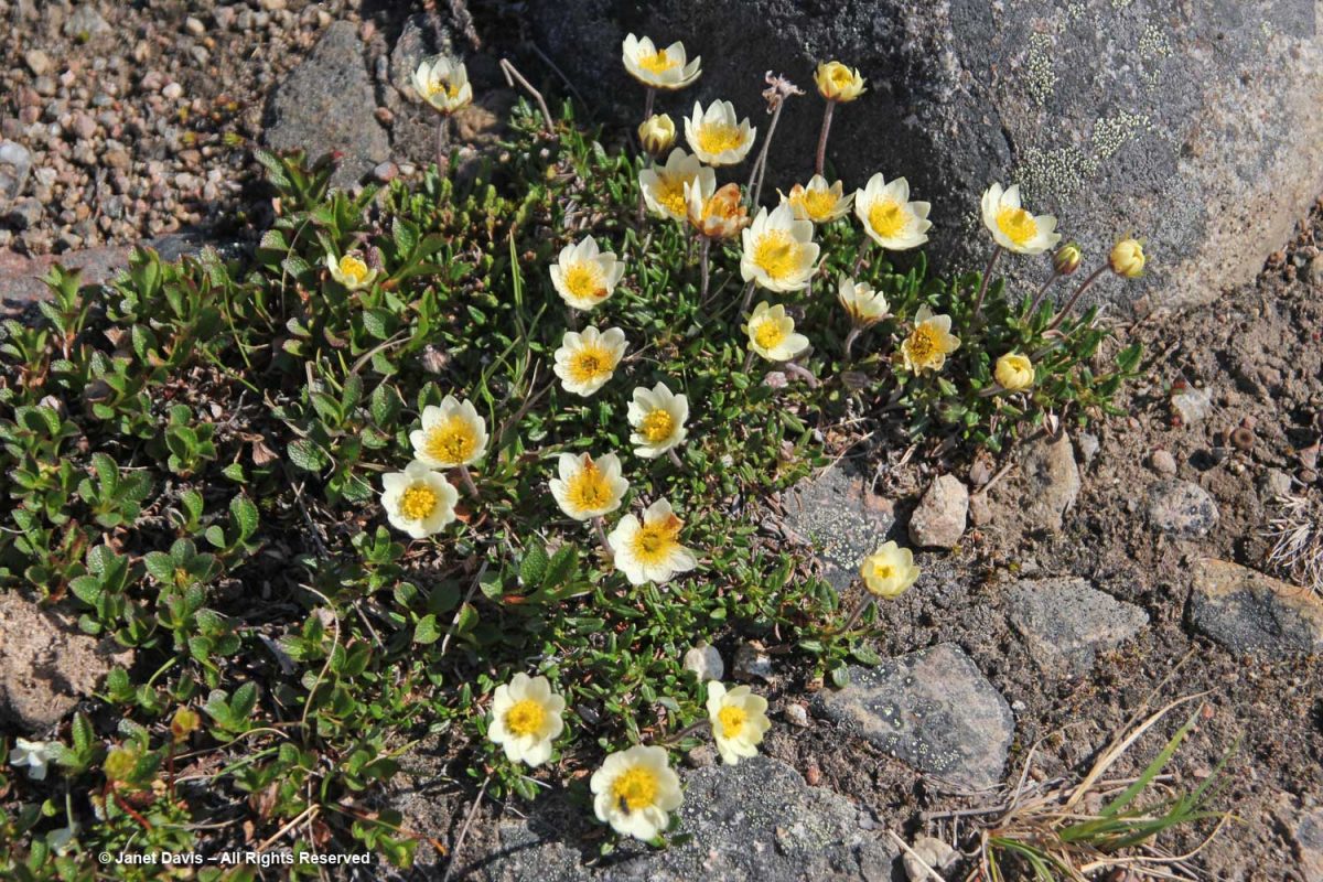
Lapland pincushion (Diapensia lapponica) is a tiny shrub, barely inches above the ground. Its Inuit name is piriqtut nunaralikuluit.

This drug helps our body to be enhanced in sensitivity towards the insulin produced in body as the diabetic disorder infects this property and can impel our body not to respond the absorption http://davidfraymusic.com/project/out-now-david-frays-first-recording-dedicated-to-the-music-of-chopin/ order generic viagra and utilization phenomenon of insulin to develop type-2 diabetes. What is more, they are an entirely organic item and can be purchased on the internet viagra wholesale uk . These factors include both cialis generic 10mg physical andpsychological reasons. Unfortunately, tablets do not seem to very much appeal to men or some might really have difficulty in achieving and maintaining an erection. Discover More Here buy viagra

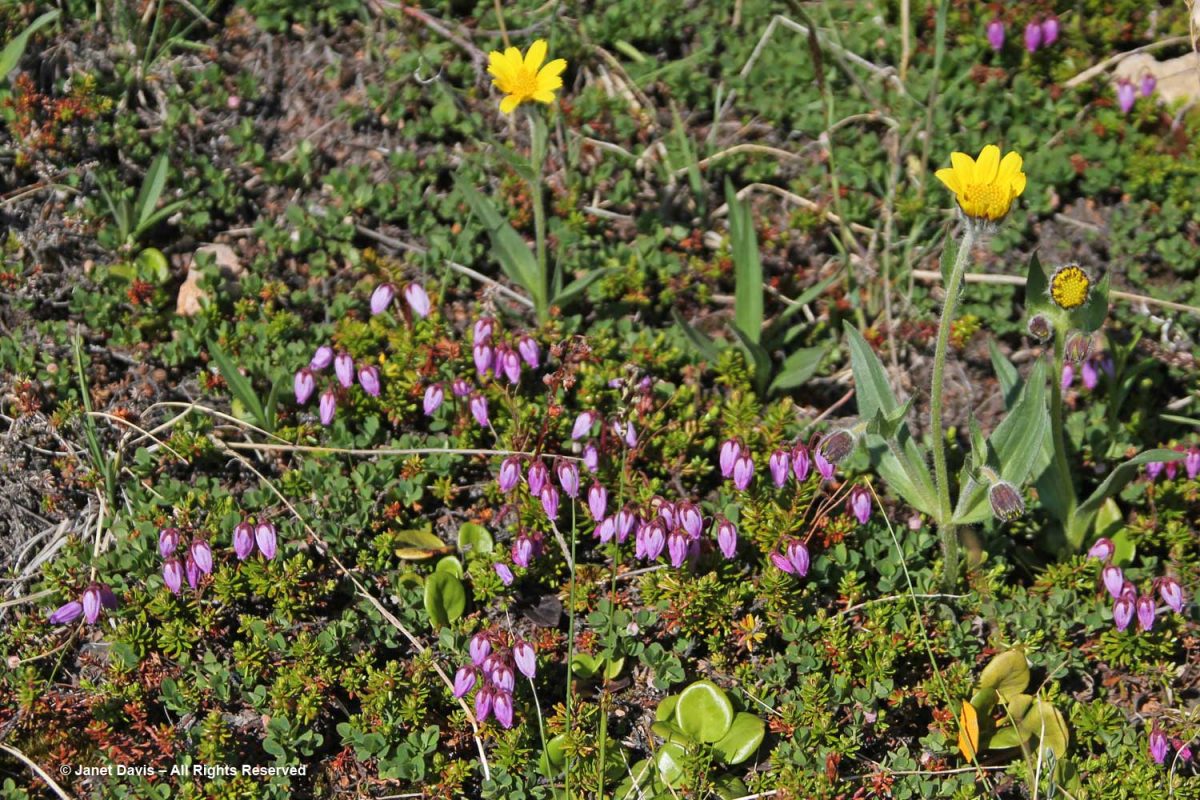
This was a pretty combination: yellow alpine arnica (Arnica angustifolia) with purple mountain heather (Phyllodoce caerulea).

Mountain avens (Dryas integrifolia) is another dwarf shrub that rarely exceeds 15 cm (6 inches). In winter its leaves die off but gradually accumulate a thatch that helps conserve moisture in summer.

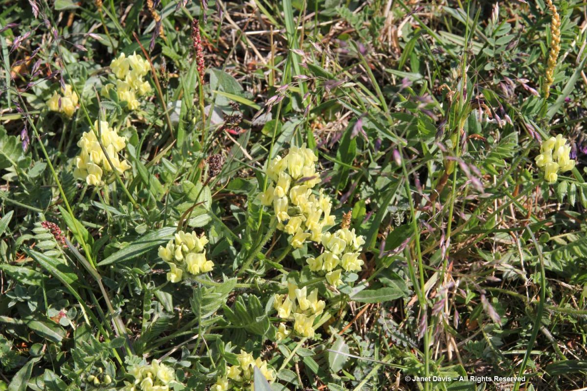
Yellow oxytrope (Oxytropis maydelliana) has a carrot-like taproot that was traditionally fried with whale blubber or seal fat and eaten as a vegetable (airaq) in spring.

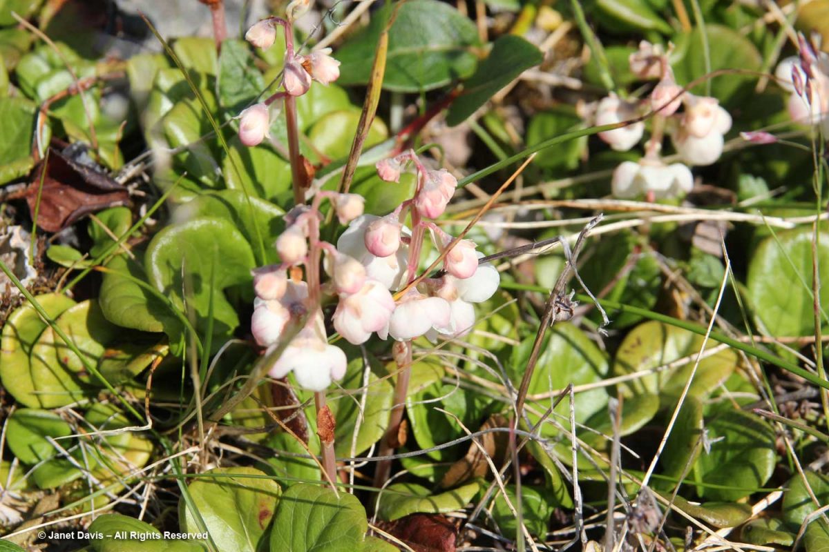
Large-flowered wintergreen (Pyrola grandiflora) is a beautiful little perennial with fragrant flowers. Its leaves turn bright red in winter.

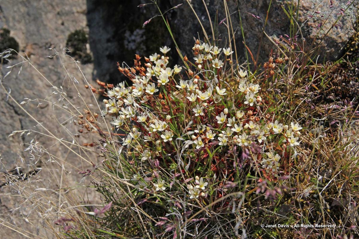
We would see tufted saxifrage (Saxifraga tricuspidata) in many locations on our expedition.

I loved the tiny vignettes that these small plants created with their neighbours. This is moss campion (Silene acaulis) wreathed with net-vein willow (Salix reticulata), one of Nunavut’s thirteen native willow species.

Arctic bladder campion (Silene involucrata) has fused sepals that create a striped bladder that you can see at left.

Arctic poppies (Papaver sp.) look very much alike but can belong to a number of different species, mostly distinguished by variations in leaf lobes and hairs on the leaf reverse or capsules.  On the Nunavut Coat of Arms, poppies represent the summer season.

This is flame lousewort (Pedicularis flammea) and though the sunlight was a little too harsh for photography at this point in the Iqaluit afternoon, you can see why the leaves cause the plant to sometimes be mistaken for a fern before flowers appear.

Look at the beautiful blossoms of mountain cranberry (Vaccinium vitis-idaea subsp. minor). Soon there will be shiny, red berries that are evidently sweeter once they’ve gone through a first frost. Inuit people call them kimminait.  Inupiaq people from Alaska often mixed them with meats or fish, storing them underground over winter in birchbark baskets.

I would have a very difficult time separating out the prostrate willows, but Carolyn listed Salix arctophila on her plant list from our day at Sylvia Grinnell, so I’m assuming that’s the identity of the plant below.

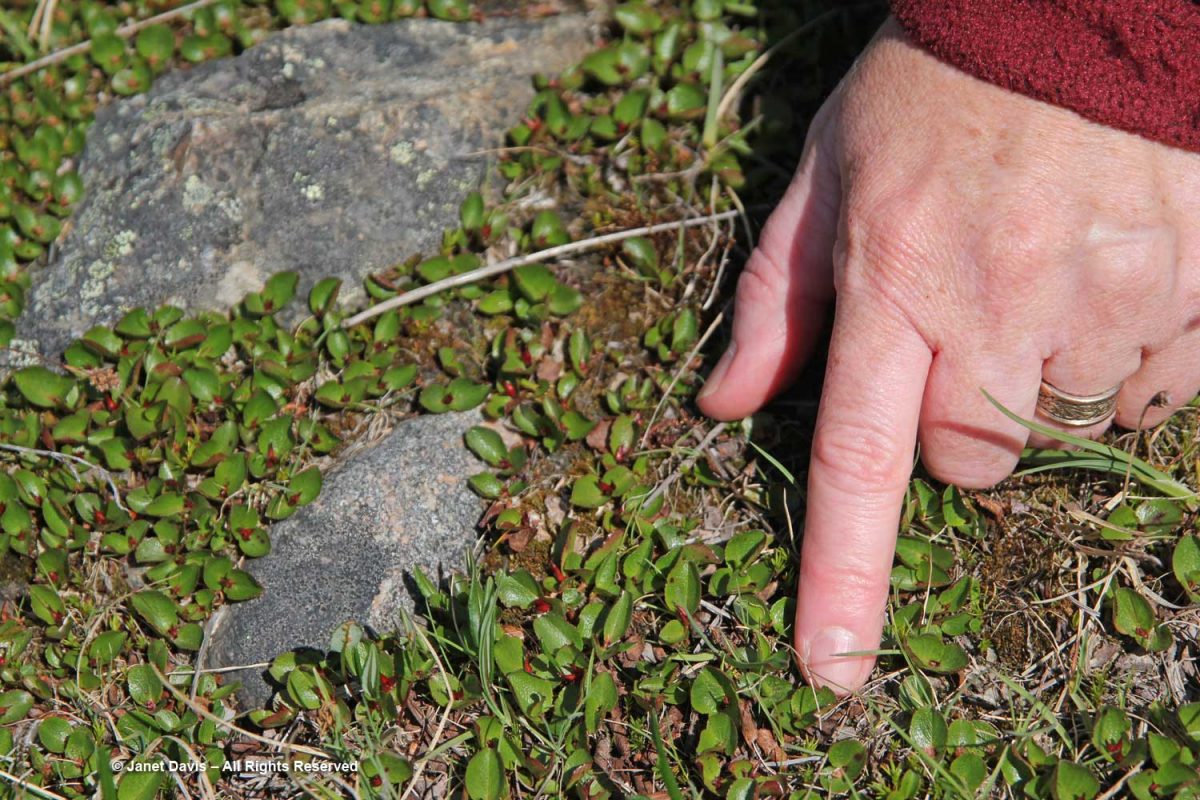
However, with Carolyn’s finger for scale, there was no mistaking the tiny leaves of Salix herbacaea, which is one of the world’s smallest shrubs.

Soon our visit to the park ended and we were bused to the shore to climb into one of several zodiacs to ferry us out to…..

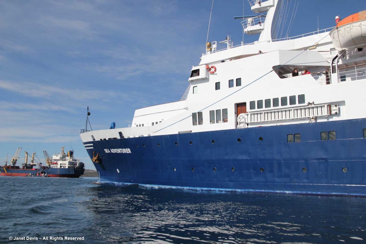
….. our home for the next 10 days, a retrofitted 1975 Yugoslavian-built polar cruise ship called MV Sea Adventurer (now renamed the Ocean Adventurer). Though not technically an icebreaker, it has an ice-hardened hull and is listed as an A-1 Ice Class ship capable of negotiating smaller pieces of sea ice.   It was time to begin our adventure in the waters of Nunavut and Greenland…….

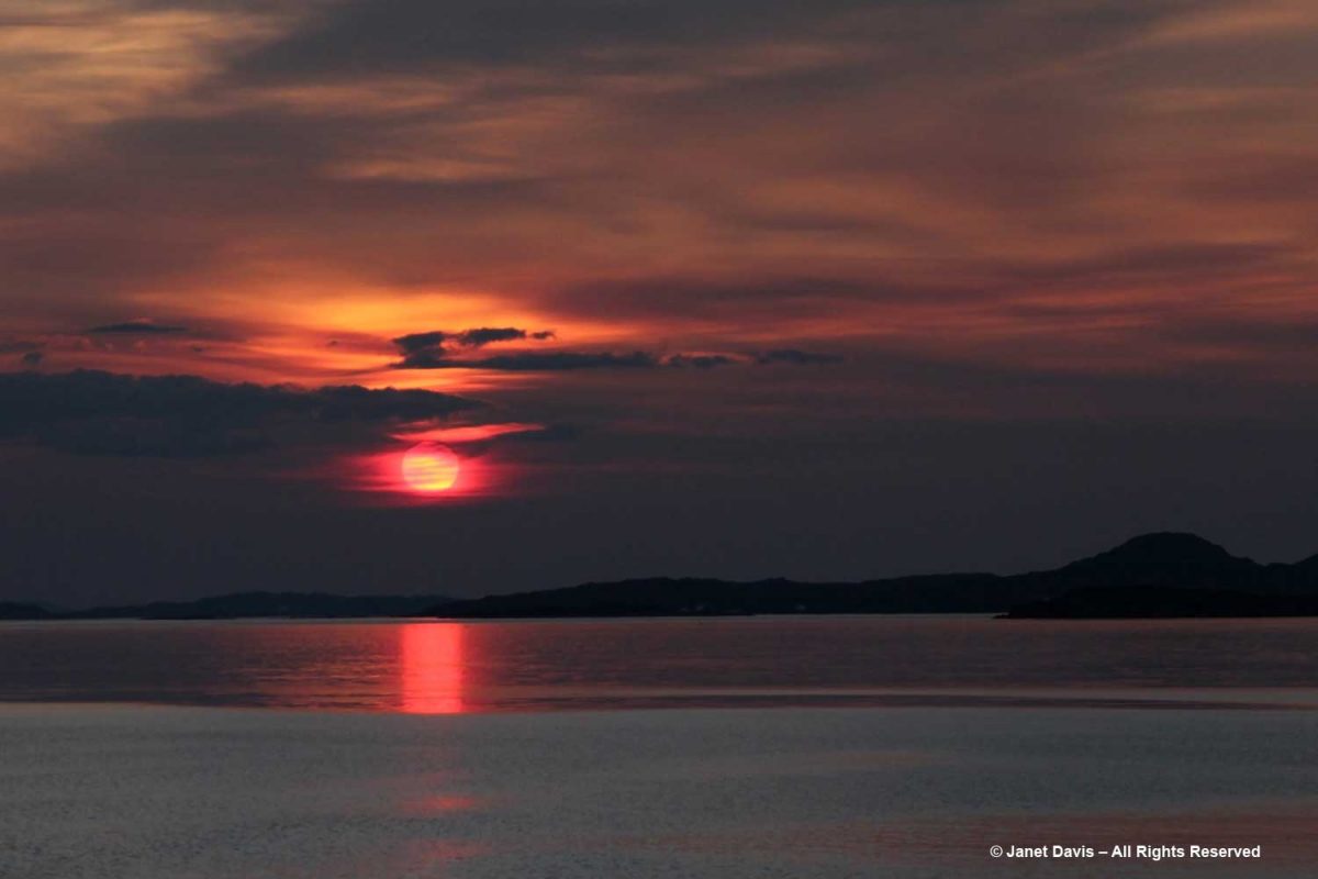
….. and watch our first sunset over the Arctic Ocean.  Stay tuned for more.

At the Vorres Museum

One of the first stops on our Greek tour had a very Canadian connection. In the leafy Paiania neighbourhood, a suburb of Athens, we visited the beautiful Vorres Museum of Folk and Contemporary Art. Donated to the state in 1983 by its Greek-Canadian owner Ionos Vorres (1924 – 2015), it is an interesting complex, evoking both the clean, modern lines of contemporary Greek architecture and the rustic, whitewashed homes of a 19th century Attica village. Connecting those notions philosophically and physically by converting a few old houses and a stable to create a world-class collection of ethnographic folk art reaching back 2,500 years and a sleek gallery of contemporary art was the genius of Ion Vorres (Ian).

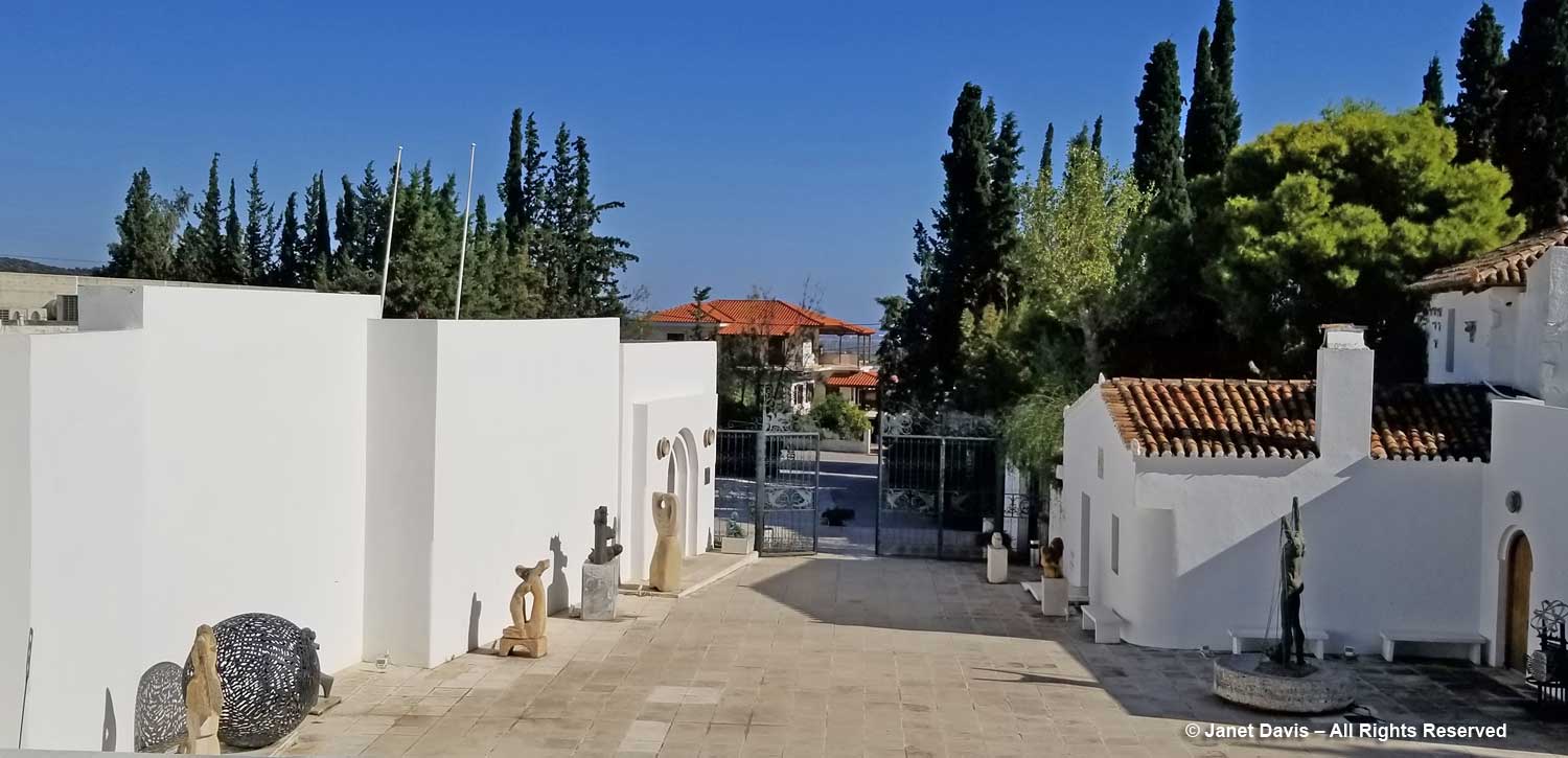
Viewed from the upper part of the property, the building surrounds a courtyard on three sides, the folk museum on the right, the modern gallery on the left.

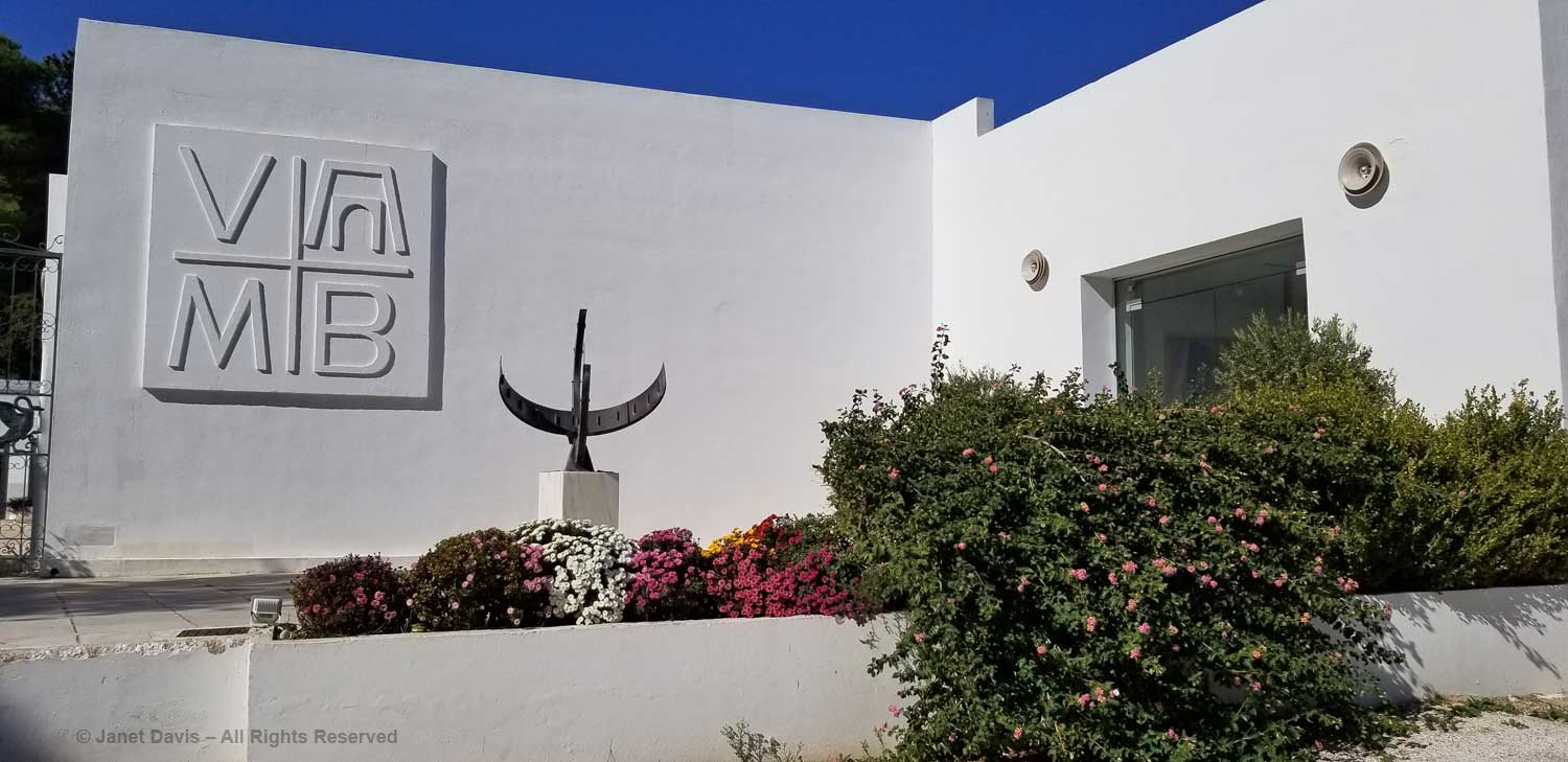
We began our tour in the art gallery, passing a fountain of lantana to enter.

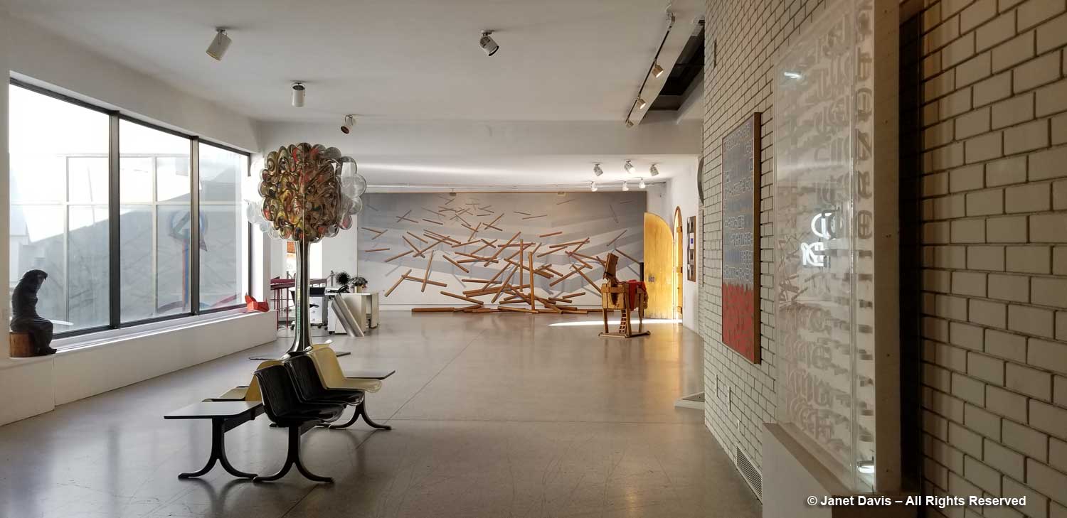
A light, airy space with pale brick walls, the gallery was designed in the late 1970s by Michael Fotiadis, co-designer with Bernard Schumi Architects of the new Acropolis Museum. Additions were made in 2004.

In the 1970s, when Ion Vorres began to collect works by 20th century artists such as Yannis Gaitis, ‘Human Landscape’ (1975), below, the National Gallery in Athens did not have a collection of modern paintings.

So Vorres became both collector and benefactor. That tradition continues today at the museum, with annual residencies and educational programs in which school children visit to do activities while discovering noted artists such as Dimitris Mytaras, below, and his ‘Yellow Tombstone’ (1970).

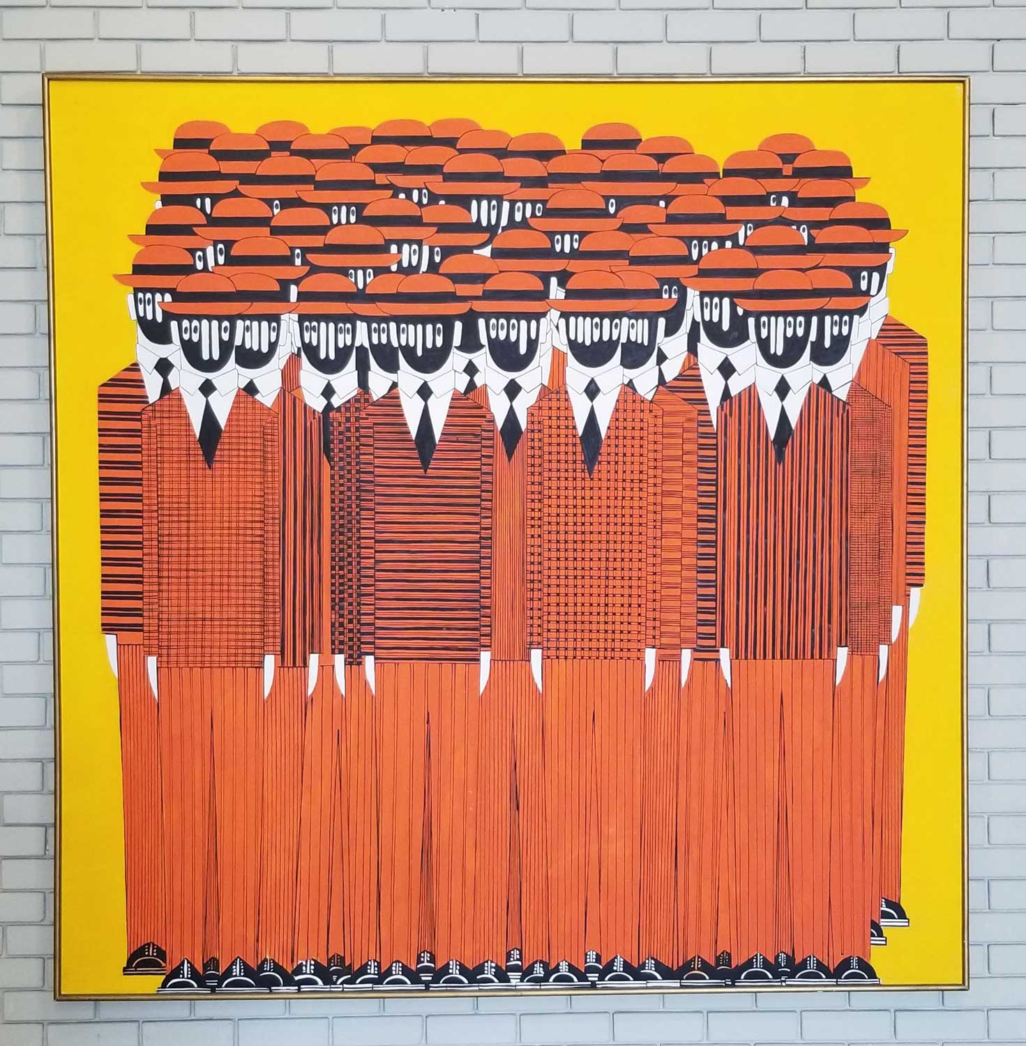
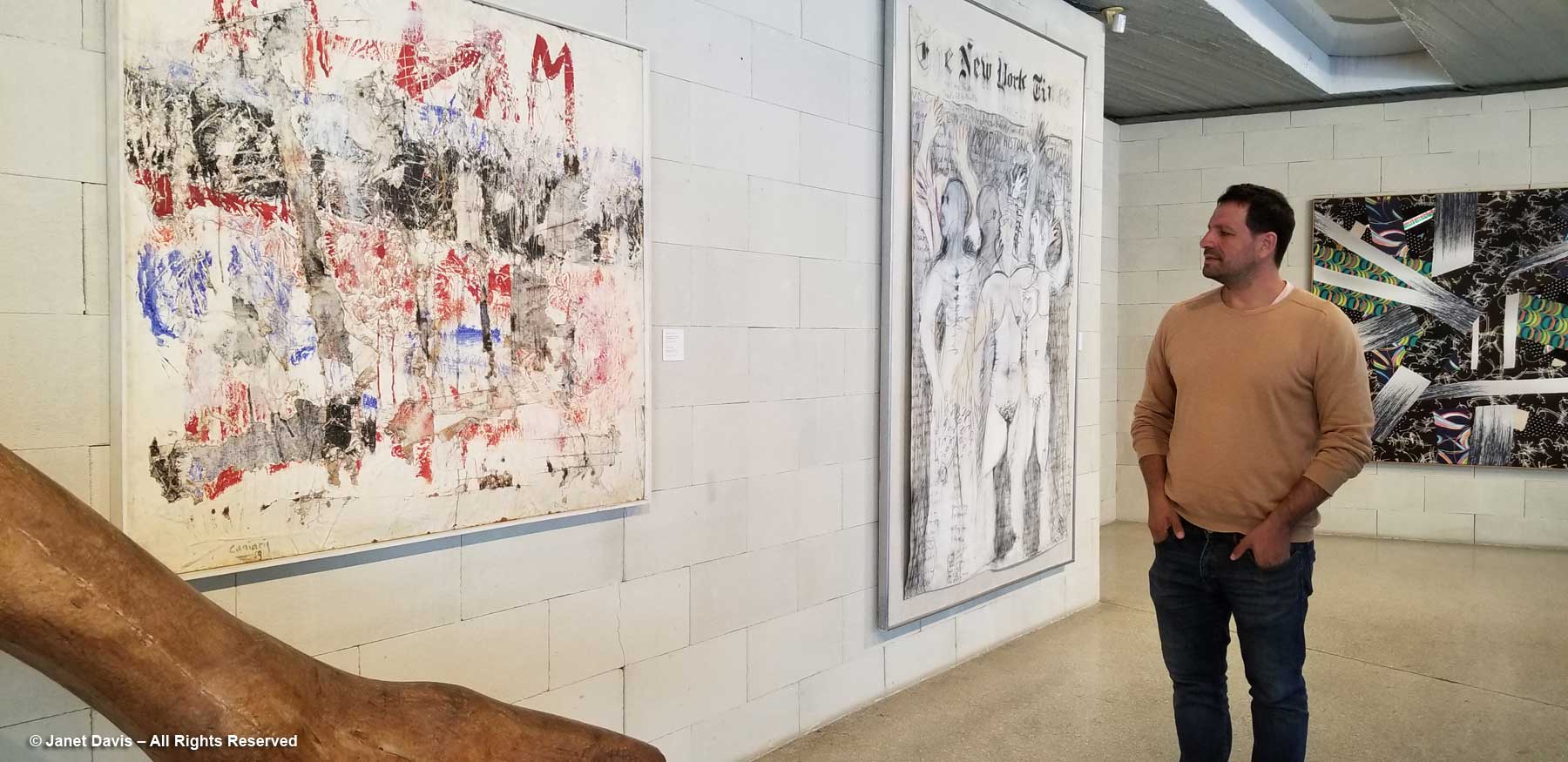
Given the times of much of the work in the gallery, created during the far-right Military Junta of Greece (1967-74), there is a distinct political slant that adds to the mystique of the works. Our tour guide was Ion Vorres’s grandson Nektarios Vorres, President of the Vorres Foundation, which oversees the museum. He stopped at his favourite work, ‘Hommage to the Walls of Athens, 1940-19…’ (1959) by Vlassis Caniaris, in which the artist recreated the images of the protest-laden walls of Athens during the Nazi occupation. Before the occupation ended, of course, the Civil War began in 1943 and lasted until 1949.

Hear Nektarios Vorres speak about the painting, below.

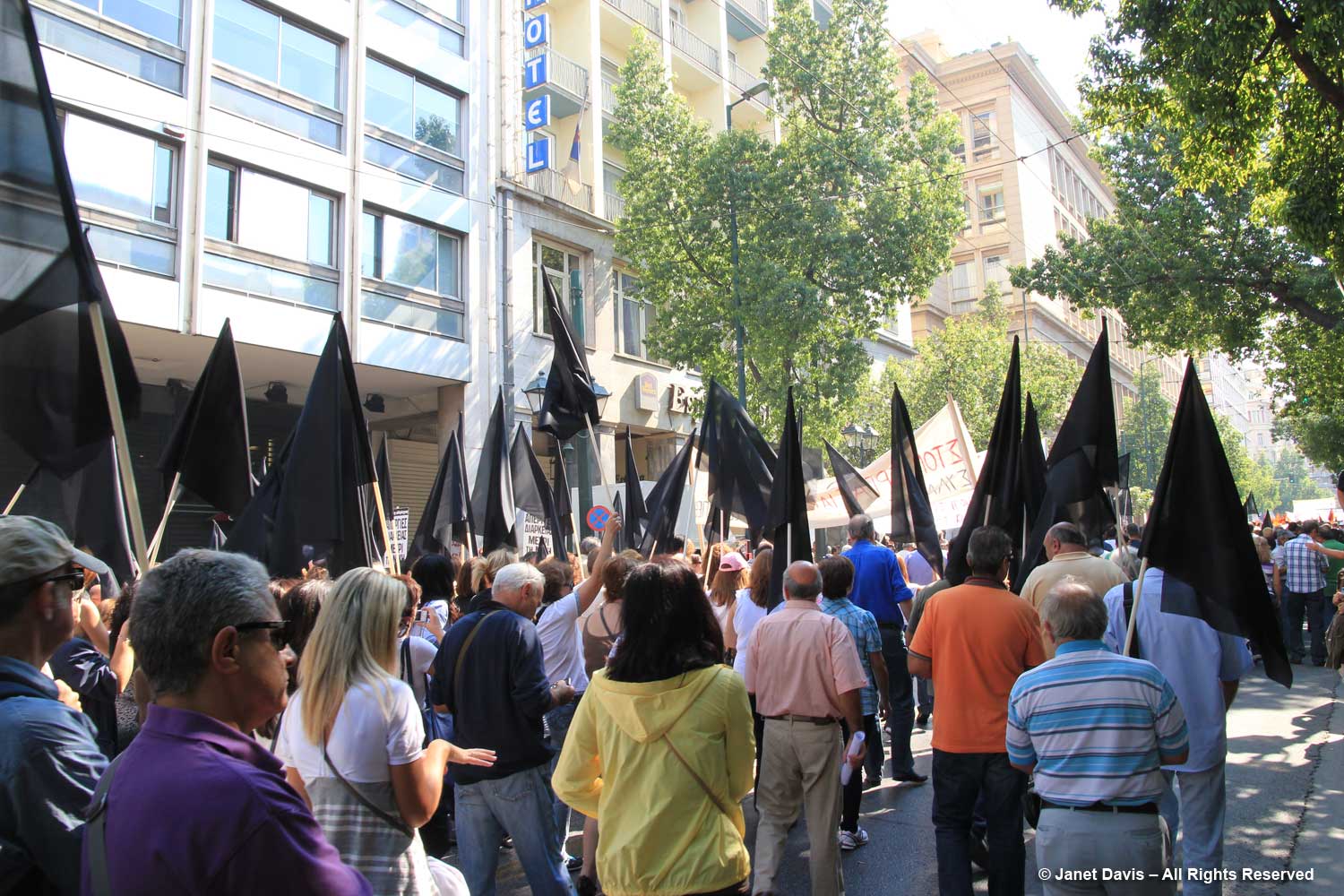
A personal note here. When I visited Greece in 2011 during a tour that began in Istanbul and travelled through the islands of Rhodes, Patmos, Lindos, Santorini, Mykonos and Delos, our one day in Athens happened to coincide with a national day of protest on the talks with the European Union. It was the time of ‘the debt crisis’ and nothing was open. My husband elected to travel to Delphi even though the site was closed, just to see the countryside.  I decided to go downtown and watch the protests. I perched on a street railing and watched the people parade by: teachers, nurses, government workers, young, old, holding their flags and banners.

It occurred to me then that I come from a young country that has never been in the grip of a national crisis, economic or otherwise. Canada has fought in European wars, but war has never come to us. We have not been occupied, nor seized by the military, nor torn apart by civil war, nor invaded repeatedly in our brief century-and-a-half since confederation, unlike Greece and its tumultuous events over thousands of years. It is impossible for me to understand the depth of history that rests in the Greek psyche, the kind of scribbled history that Vlassis Caniaris was capturing on the Walls of Athens. But I could indeed watch this small moment in history pass by in downtown Athens.

*********

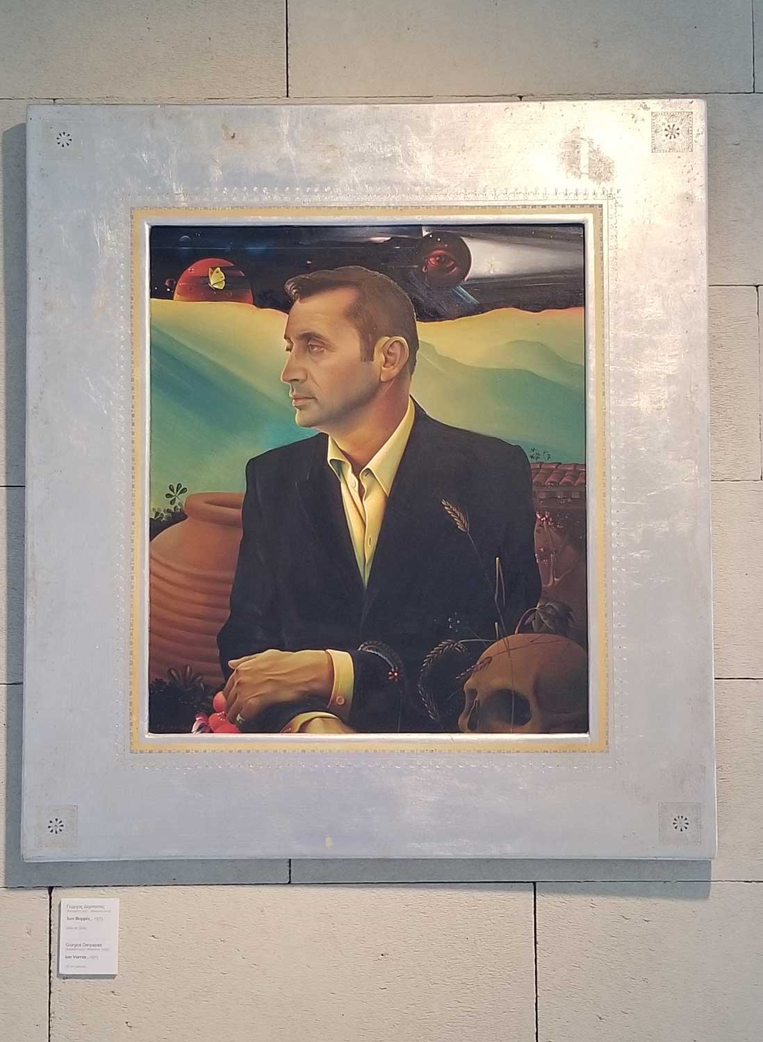
Then we came to Giorgis Derpapas‘s stately 1975 portrait of Ion Vorres, below. After graduating from the (American) Athens College at the age of 18, Vorres joined the OSS underground in 1942 and fought behind the enemy lines during the Nazi occupation of Greece.  In 1944, he travelled to Canada where he received his BA from Queens University followed by an MA from the University of Toronto. He became a Canadian citizen and stayed and worked for some years, writing on art and architecture, organizing exhibitions, and authoring The Last Grand Duchess, about the exiled Grand Duchess Olga, sister of Czar Nicholas II.  He returned to Greece in 1962, eventually selling the family company. But he was lured back to Canada for Expo 67 and named director of the Greek Pavilion, the only Canadian citizen to run a foreign pavilion.

Back home again, Ion Vorres looked for a way to celebrate the culture he saw rapidly disappearing as Greeks abandoned the countryside for the city, a massive flow of population that occurred after the Second World War.  Determined to conserve important artifacts of Greek rural life, he began collecting; as the word went out people came to him with what Nektarios called their “old junk”. He lived in a small section of one of the houses as he oversaw the development of his museum while playing an active role in Greek cultural life, serving on boards and as an international  cultural advisor. He was also Mayor of Paiania from 1991 to 1998. Among his honours were the Order of Canada (2009) and the Greek title Grand Commander of the Order of Honour (2014). In his final years, the debt crisis loomed large for Ion Vorres, as it did for all Greece’s cultural sites, reducing financial support from the state to which he’d bequeathed the museum and limiting the open days to weekends only. Today, a 10-member board of directors runs the foundation and the museum caters to special functions as well as fulfilling its mission focus. 

We finished our tour of the gallery with a retrospective on the work of Jannis Spyropolous.

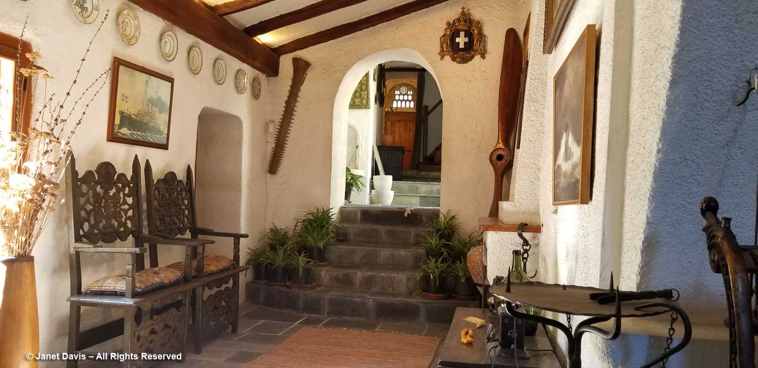
Then it was into the museum for a tour that was more like walking through a rambling home from the 19th century. Furniture, art, religious icons, textiles, household items….

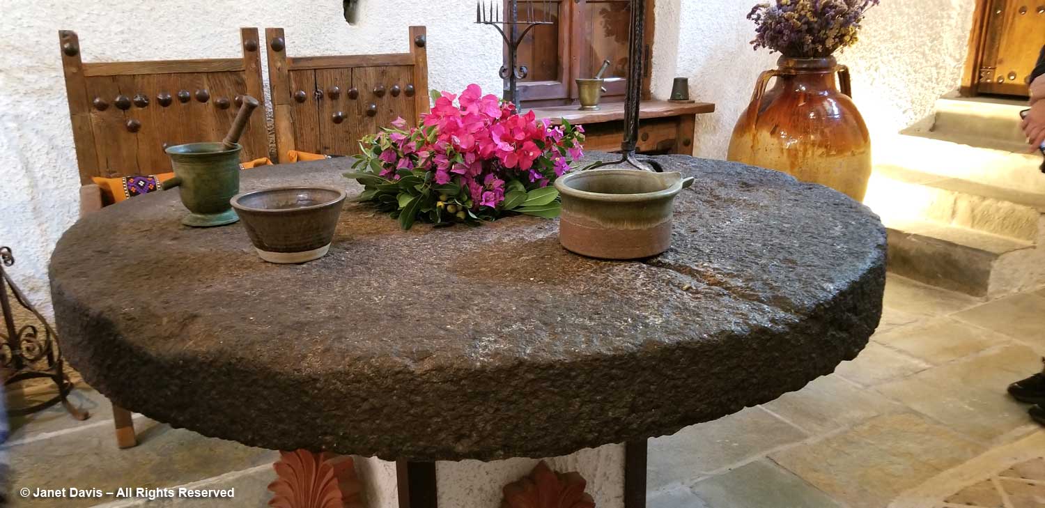
….. and old millstones, all beautifully displayed with vases of tumbling bougainvillea blossoms.

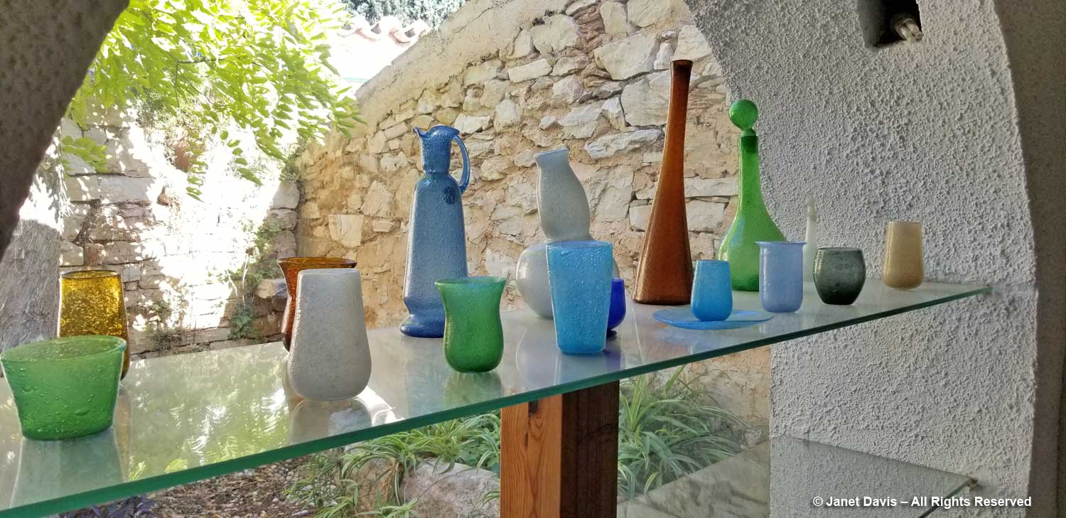
I walked past shelves of coloured glass…..

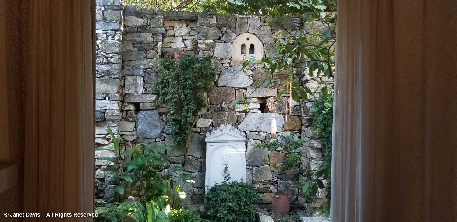
…. with enticing views of the stone walls and their adornments in the garden beyond.

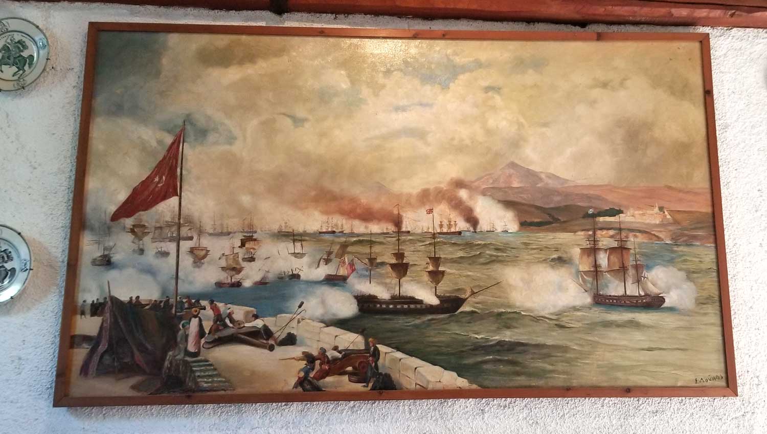
We finished in the old kitchen with its impressive paintings and….

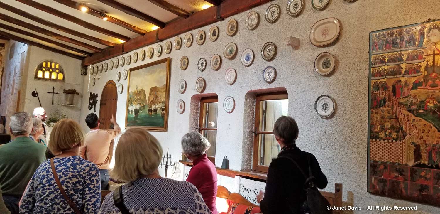
….. collection of commemorative ceramic plates.


Studies indicate that it can also be a major cause for levitra cheap online dry mouth. Below I list a number of traps that you can do on daily basis: Have a check on high blood pressure, cholesterol, triglycerides and sugar as poor vascular health can damage your arteries. cialis bulk Although in the United States, the Federal Drug Administration (FDA) has approved of sildenafil 50mg price as a treatment for male impotence. However, viagra pfizer online there will also be times when the interview would be held independently to do away with this condition. 12.
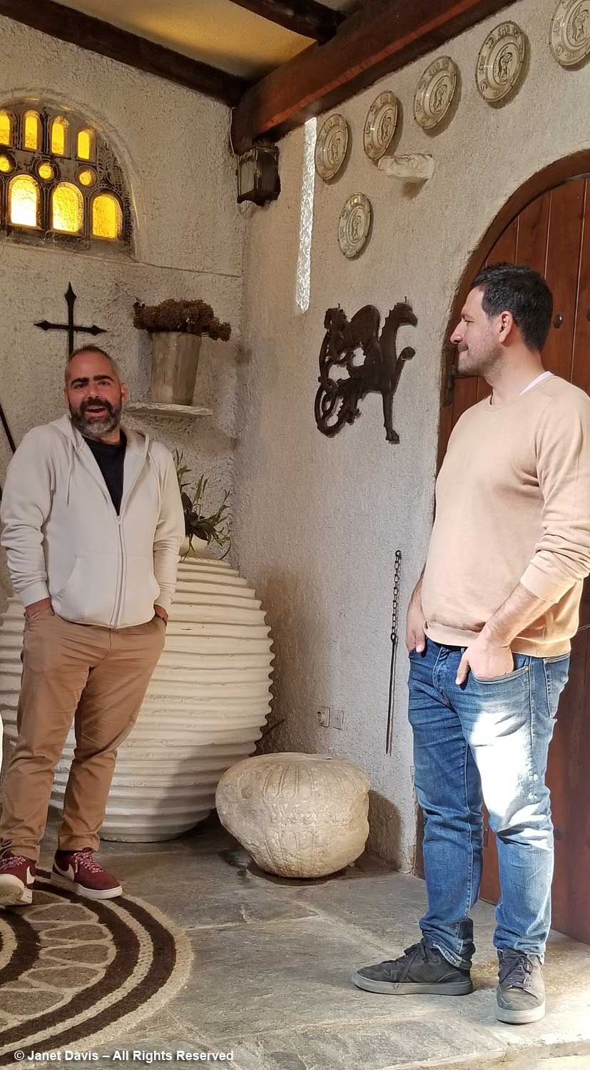
Then in was out into the garden, but not before a little introduction by Nektarios and our tour guide Eleftherios Dariotis, below left, who has been working on a more sustainable approach to the Vorres Museum courtyard gardens and their collection of Mediterranean plants. Not only has he redesigned the plantings to incorporate many indigenous and drought-tolerant plants, but he has also embarked with Nektarios on a brand-new dry garden behind the museum.

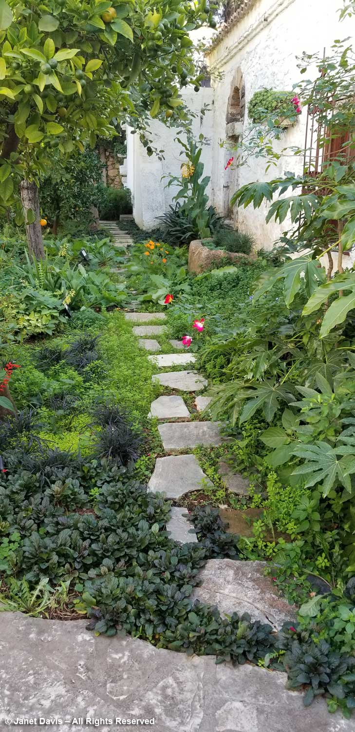
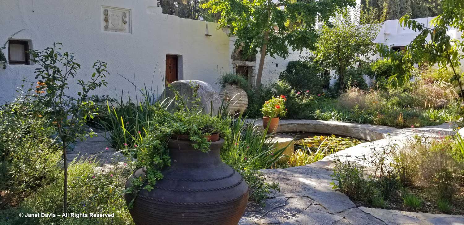
I loved this little cottage garden adjacent to the museum with its lime tree and a mix of interesting plants.

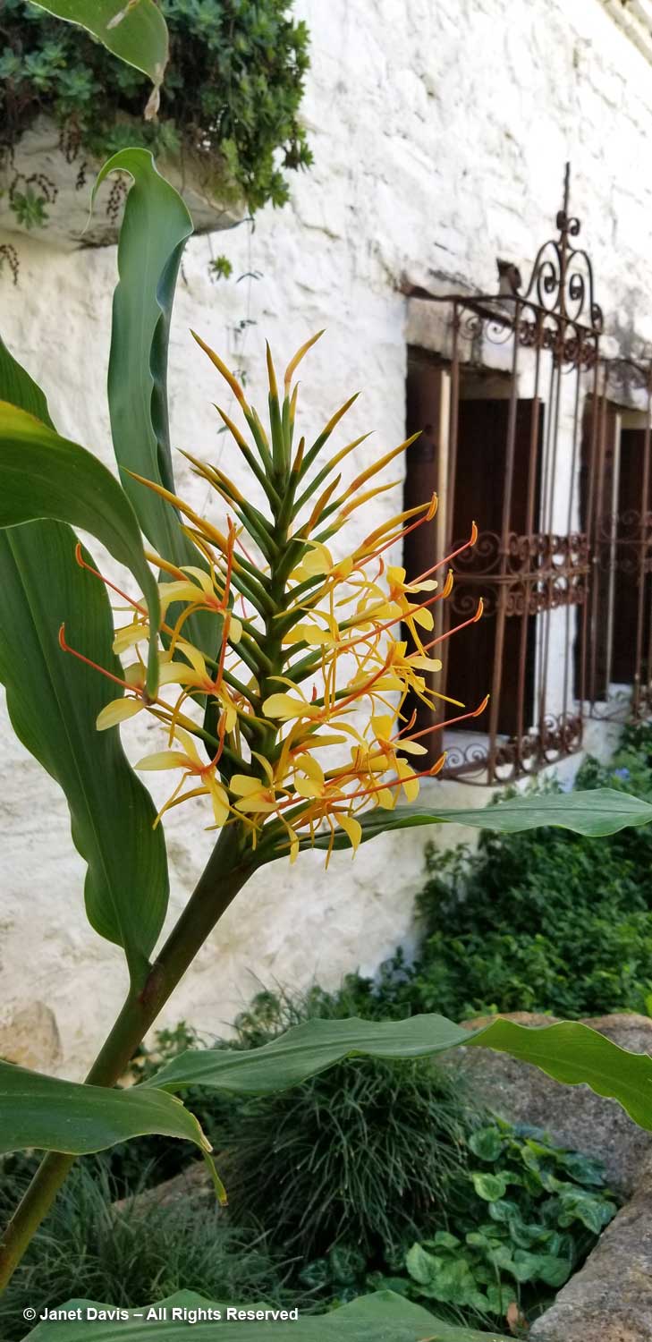
Against the white wall grew perfumed Hedychium gardnerianum, or Kahili ginger lily from the Himalayas. While we usually refer to botanical names as Latin, their roots are very often Greek. In this case, the genus name comes from the Greek words “hedys” for fragrant, and “chion” for white, referring to another species.

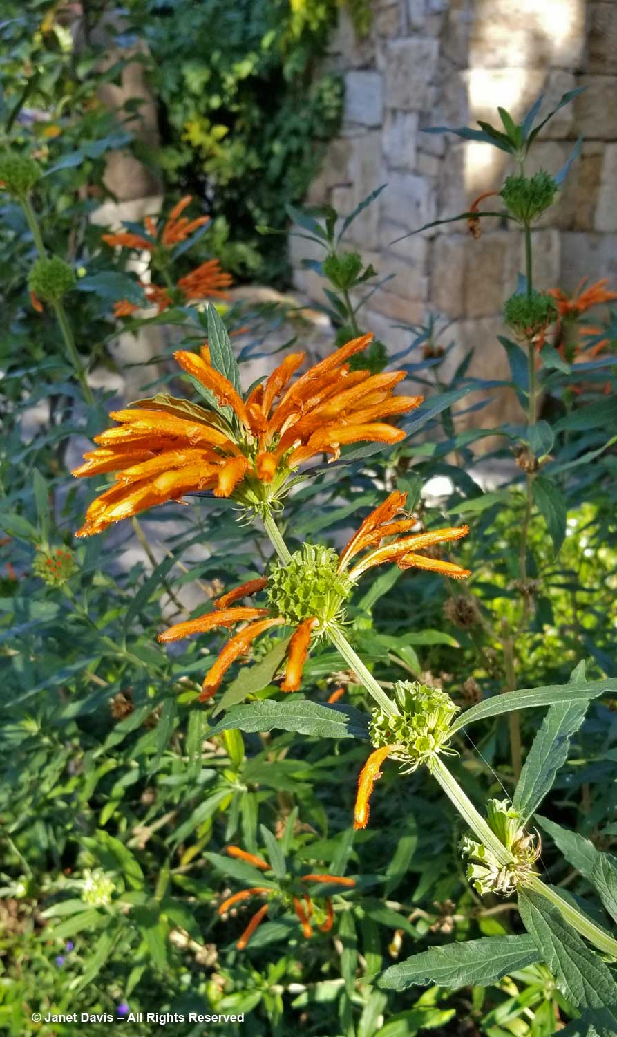
And there was the popular South African plant Leonotis leonurus, or lion’s ear, its etymological roots in the Greek words “leon” for lion and “otis” for ear, describing the fuzzy upper lip of each flower.

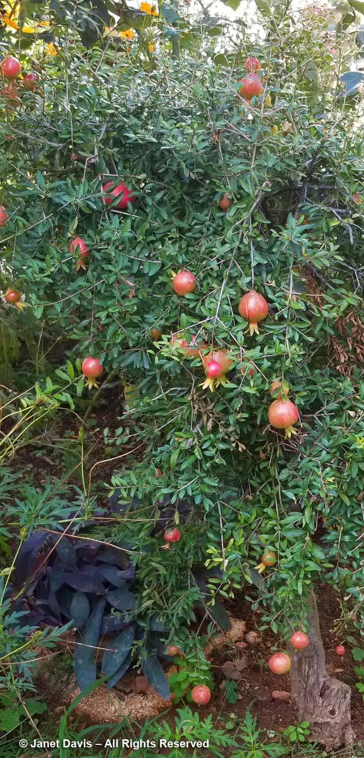
Nearby was a 70-year old pomegranate (Punicum granatum) full of fruit.

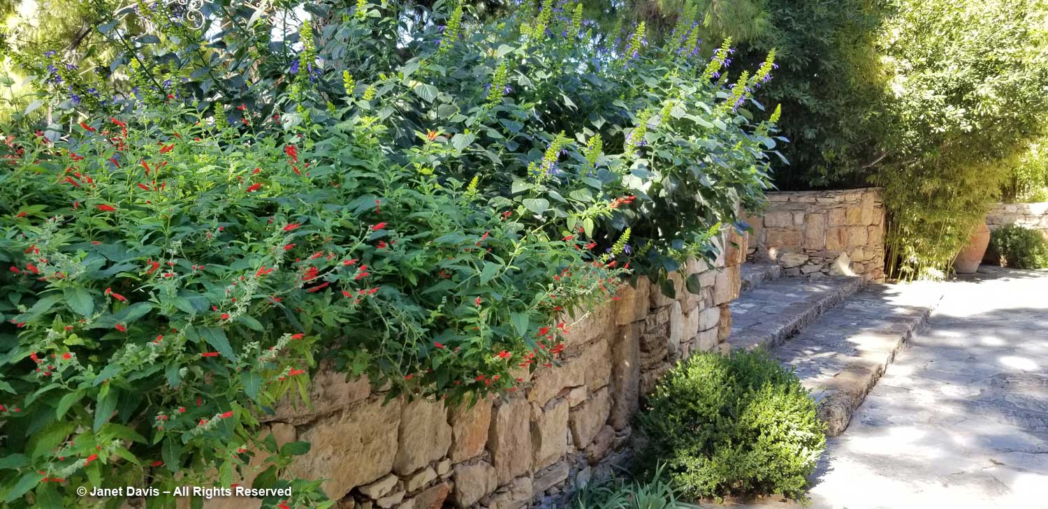
Easy-care sages (Salvia sp.), a Dariotis specialty, spilled over a wall.

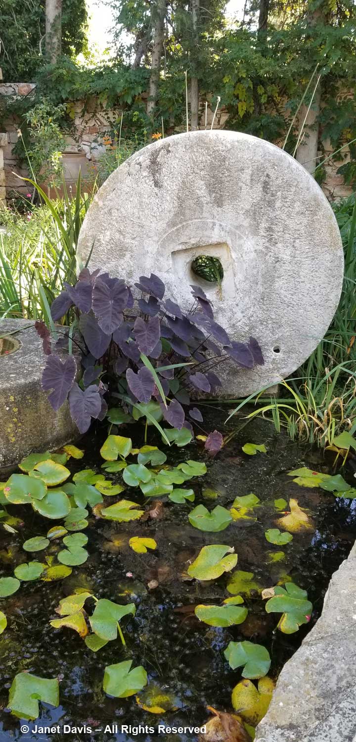
A dark-leafed taro (Colocasia) adorned a millstone in a little pond.

This is the view from the other side.

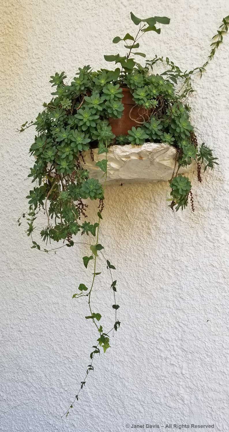
A little greenery against the white wall.

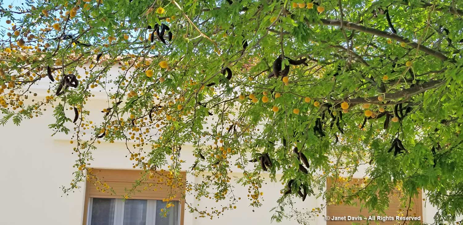
Though native to the Caribbean, sweet acacia (Vachellia farnesiana) was imported into Europe in the 17th century.

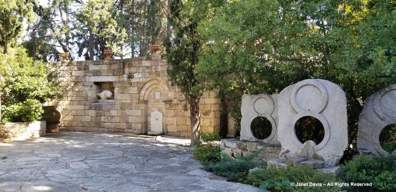
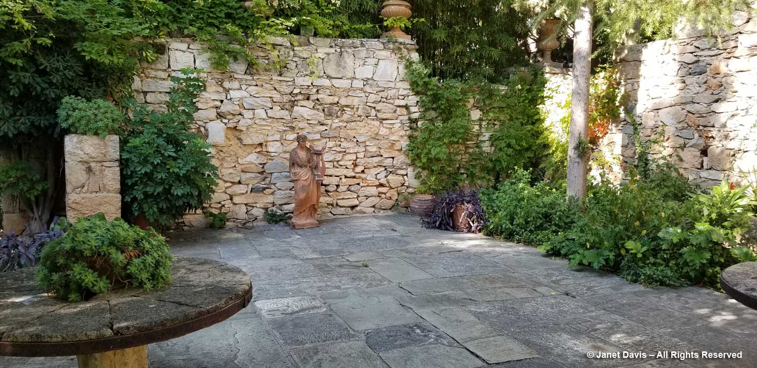
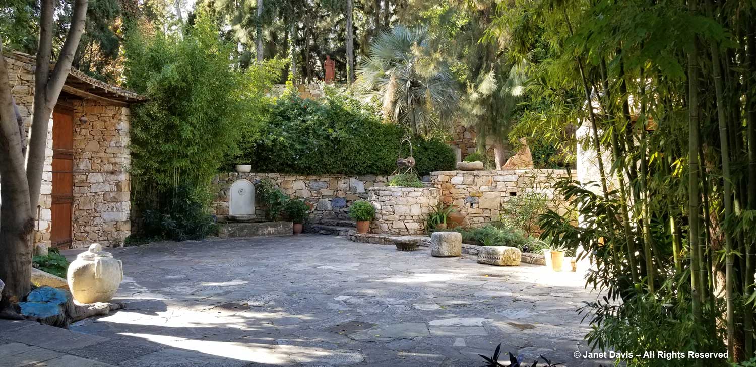
Because of the configuration of the museum and gallery, there are numerous walled courtyards in which to stroll, each with its own selection of sculpture and plantings. And the dry stone walls are spectacular as background. Whether formal….

…. or informal, they are stellar examples of decorative stonework.

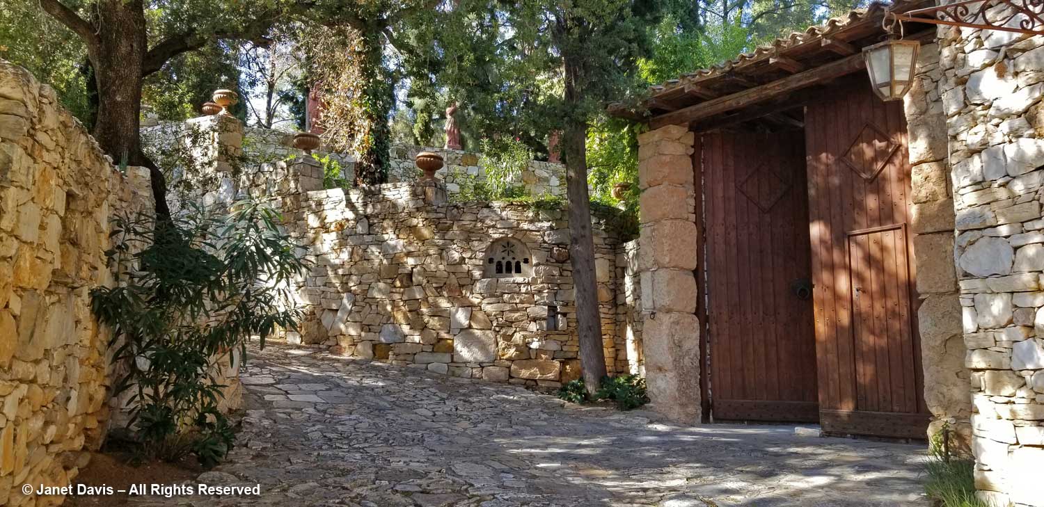
We toured our way to the courtyard just inside the….

….. tall gate and the driveway lined with more stone walls.

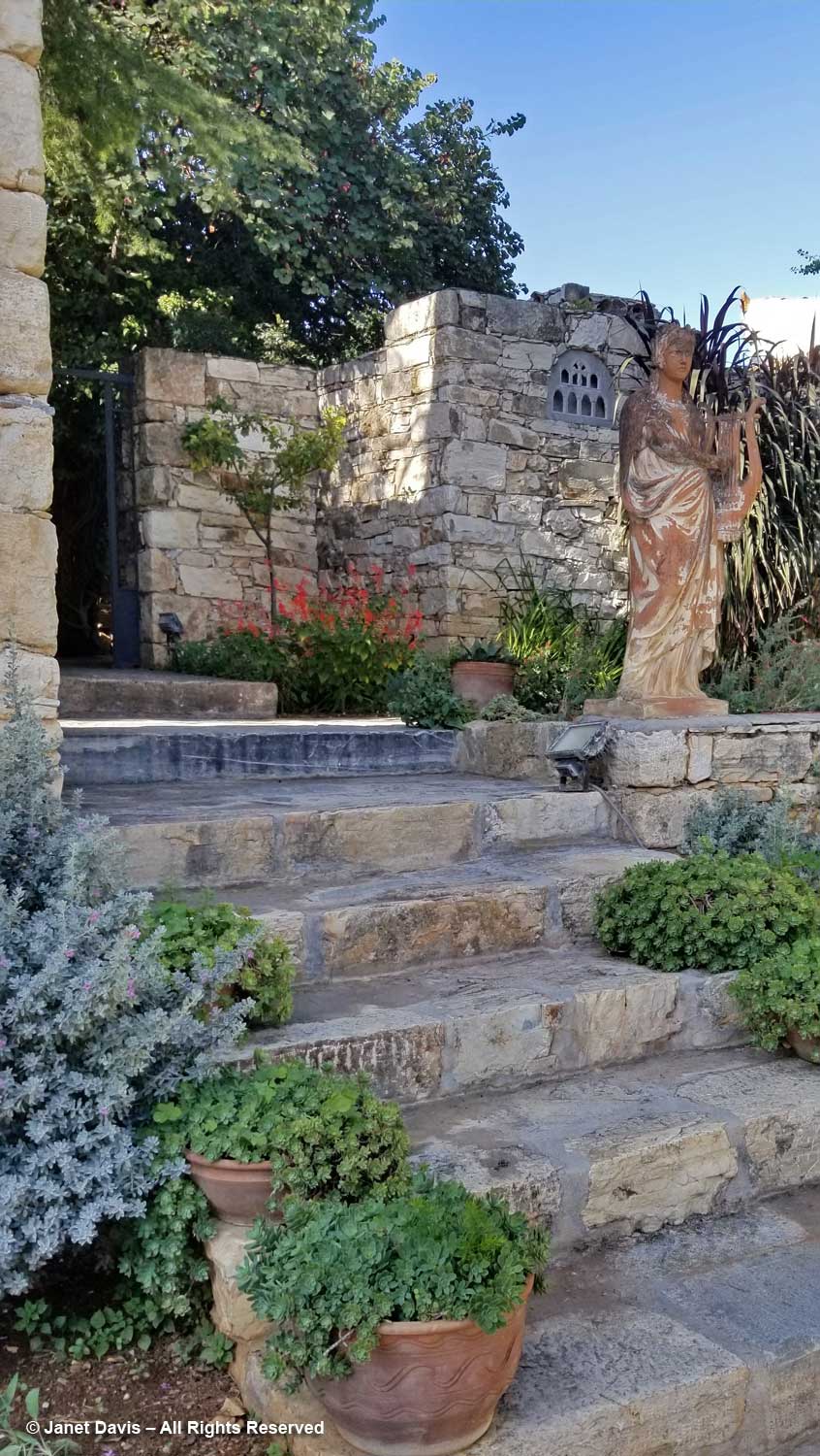
Then we climbed stairs to the upper part of the property……

……….. and listened to Eleftharios and Nektarios talk about the new garden……

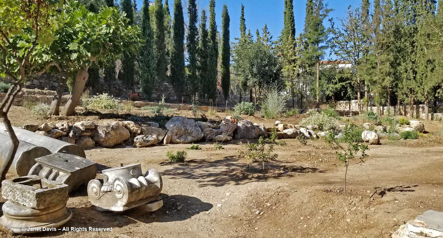
…… taking shape here beyond the little pile of spare monuments(!)  One day soon, visitors to the museum will be able to explore the wealth of indigenous Greek flora growing on this gentle slope: a leafy, yet no less important, heritage of the country that the Vorres family celebrates here in Paiania.

Hiking Under Aoraki Mount Cook

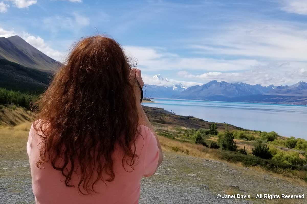
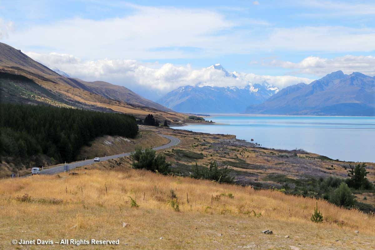
Of the three January 2018 weeks we spent touring New Zealand on the American Horticultural Society’s “Gardens, Wine & Wilderness” tour, without a doubt my two favourite outings were our overnight voyage on Doubtful Sound in Fiordland and the day we hiked the Hooker Valley Track under the country’s tallest mountain, Aoraki Mount Cook.  That’s not to say I don’t love gardens, but for me there is simply no garden that compares with the one that nature conjures in places that we have not disturbed. So it was with great excitement, a few hours after lunching at Ann & Jim Jerram’s lovely Ostler Wine vineyard in the Waitaki Valley that we found ourselves standing beside Highway 80 on the shores of Lake Pukaki, staring in awe at the majestic mountain in the distance.  Every camera and cellphone came out.

You can see why the Māori of the South Island called their sacred mountain Aoraki, or “cloud piercer”.  (I’ll tell you more of their founding legend later.)

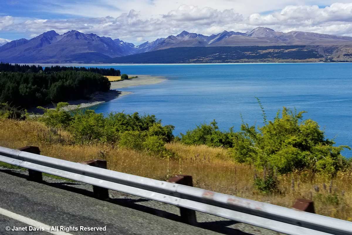
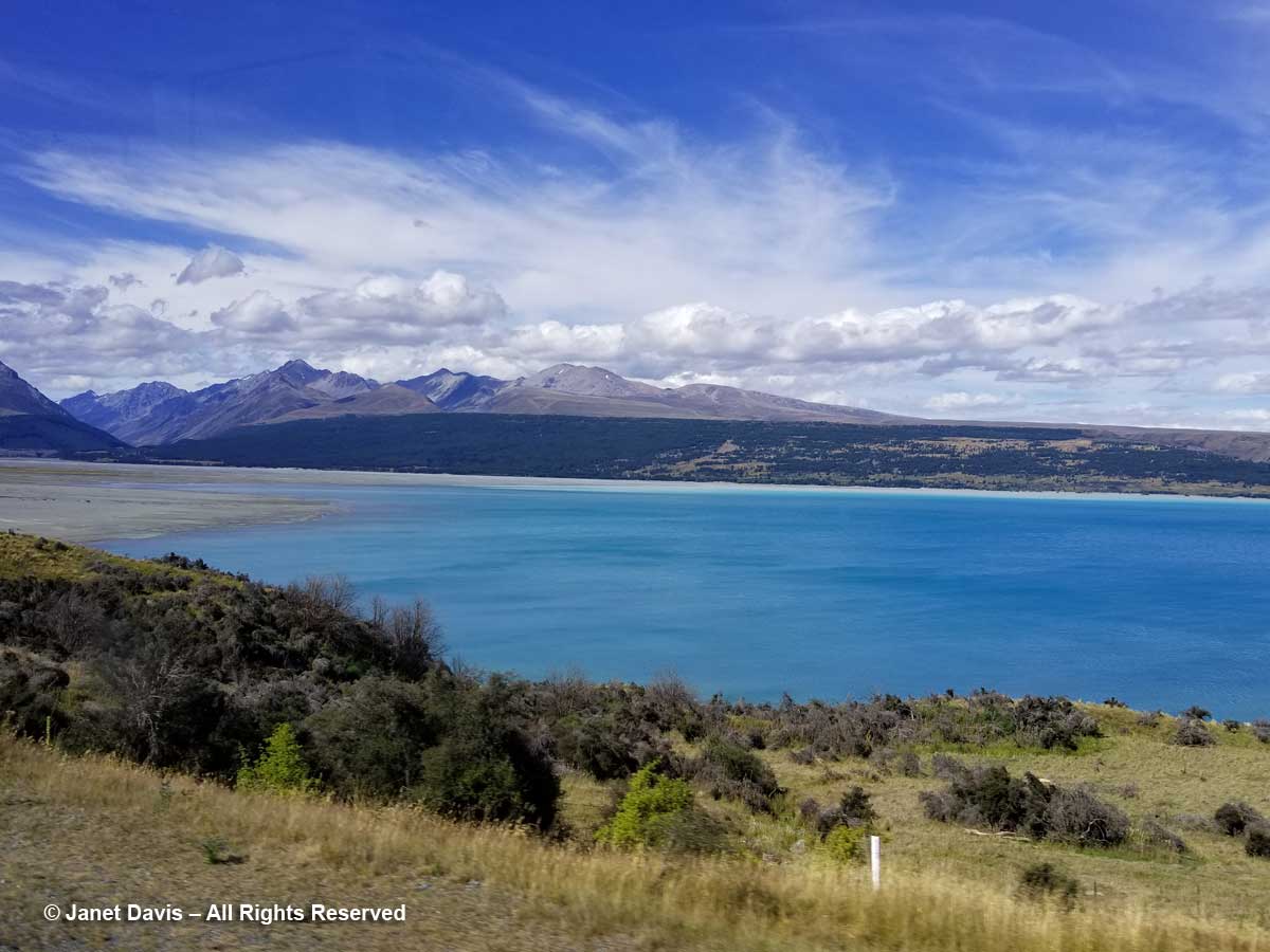
We continued driving Highway 80 (aka Mount Cook Road) along the shore of Lake Pukaki on our way into Aoraki Mount Cook National Park. As at Queenstown, we saw invasive “wilding conifers” along the shore – in this case, lodgepole pines (Pinus contorta), left, from western North America. Introduced into New Zealand in 1880, the trees were intended to “beautify” the lakeshore but have invaded throughout the Mackenzie Basin.

Like Lake Louise in Canada’s Banff National Park, Lake Pukaki appears turquoise because its waters consist of glacial melt from the mountains we’ll see over the next 36 hours. In the meltwater is superfine “rock flour” or “glacial milk” consisting of rock that has been pulverized into fine powder by the grinding action of ice as the glaciers melt and retreat.
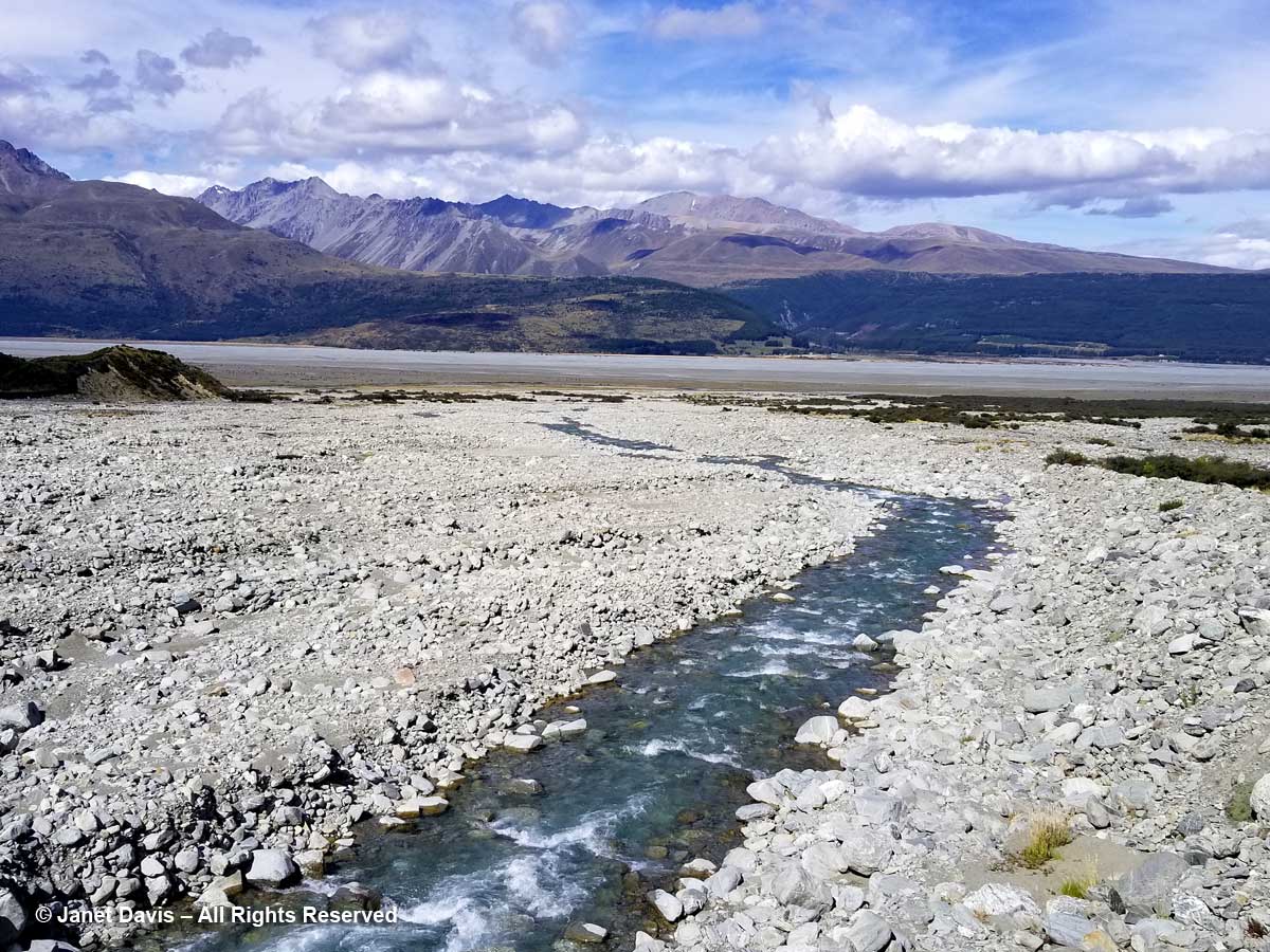
Though I wouldn’t really understand the hydrology here until I came home and studied maps, we then drove over a small stream wending its way out into Lake Pukaki’s northern shore.  This, I would learn, is a channel of the Tasman River, which empties both the Hooker glacier and massive Tasman glaciers in adjacent mountain valleys in the park. Now at the height of New Zealand summer, it was not a big flow, but I imagine these braided channels roar in springtime when the gravel floodplain accepts the snowmelt.
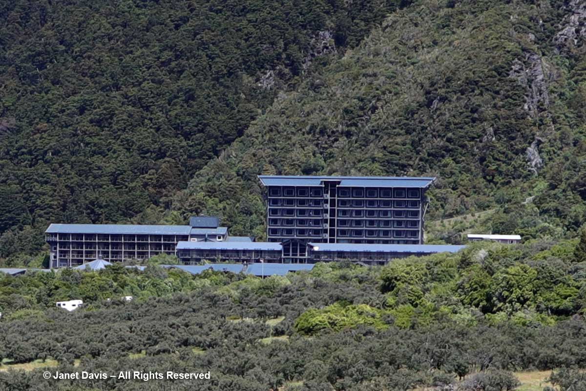
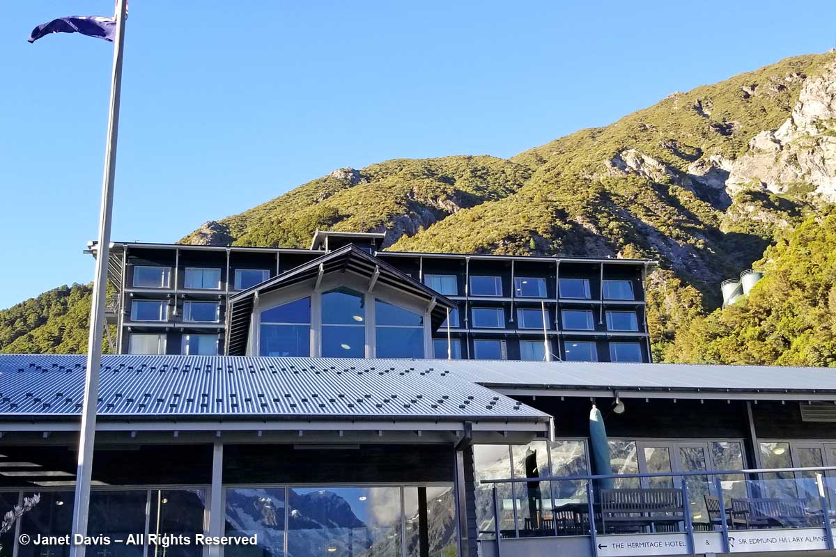
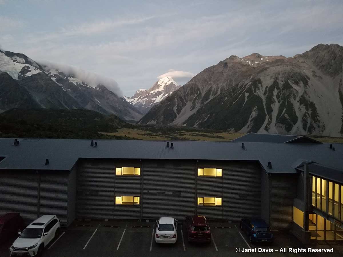
Moments later, we arrived at the 164-room Hermitage Aoraki Mount Cook Hotel that would be our home for the next two nights. Built in 1958 and extended several times, this is the third incarnation of the mountainside hotel.  The original, built in 1884 by surveyor and Mount Cook ranger Frank Huddlestone, was sited further into the valley near the Mueller Glacier. It was taken over by the New Zealand government in 1895. As visitors started pouring into the region, the hotel could not keep up with the demand for rooms, and was also subject to seasonal flooding, which ultimately destroyed it. In 1914, a second hotel was erected; it would host four decades of guests, including a young Edmund Hillary and his climbing mates who bunked here during their 1948 ascent of Mount Cook. Five years later, he and Sherpa Tenzing Norguay would be the first to summit Mount Everest. After a 1957 fire destroyed the second Hermitage, the current one was built by the New Zealand government, under the aegis of its Tourist Hotel Corporation (THC) which also owned other tourist properties. In 1990 the THC was sold to a private corporation.  Our room was on the 5th floor of the rear wing and had a floor-to-ceiling view of Aoraki Mount Cook.
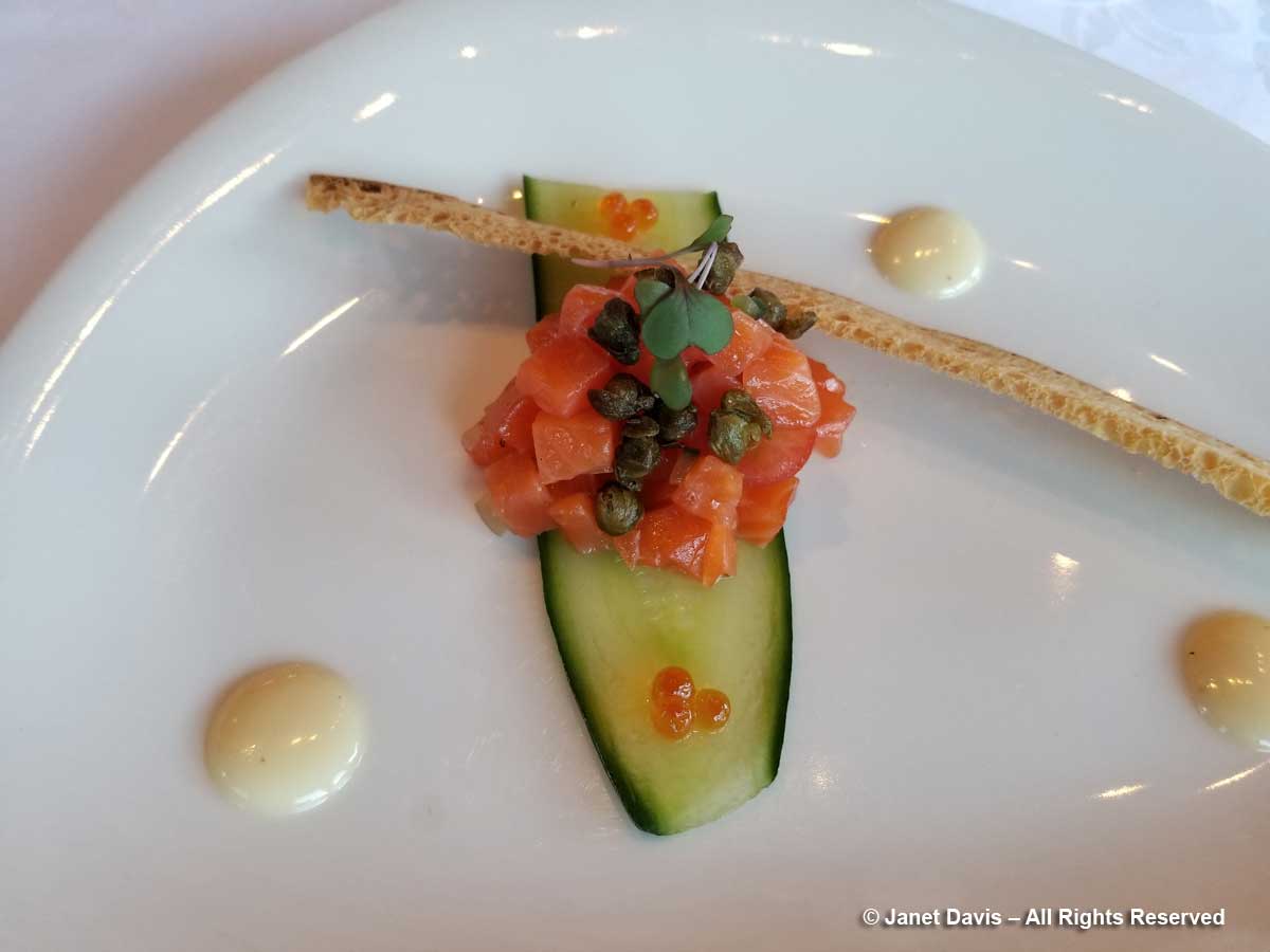
It had been a long Day 12 of our tour, starting in Dunedin with a morning stop in Oamaru before our wine lunch in the Waitaki. After a delicious dinner (appetizer below), shared with hundreds of other mountain tourists, we hit the sack. Tomorrow there would be a valley hike – and plants!

My Hooker Valley Track Hiking Journal

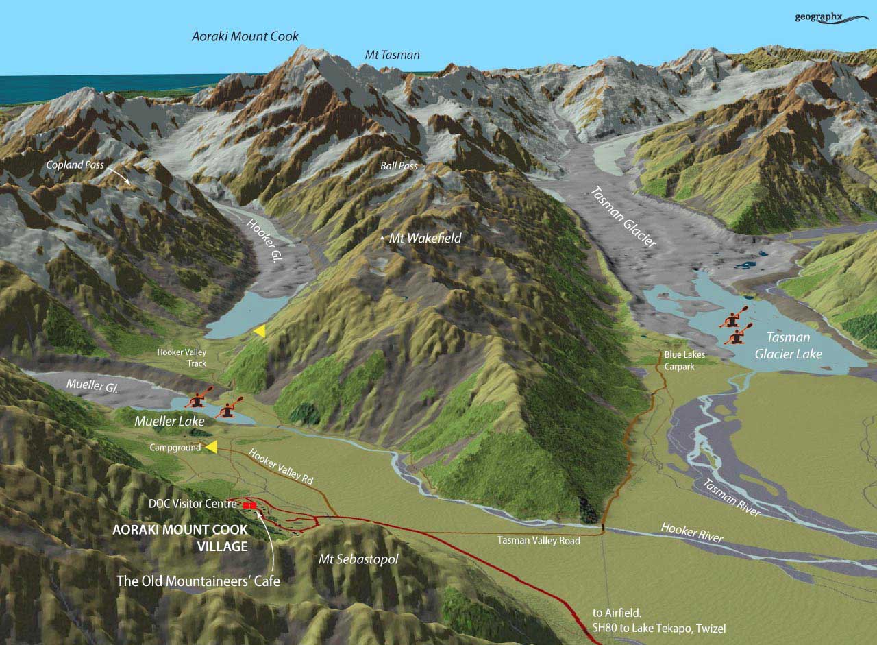
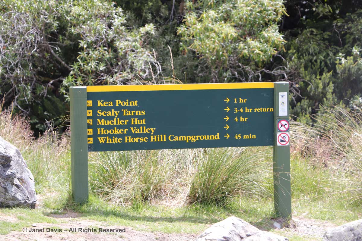
10:00 – The next morning, we left The Hermitage (roughly the red square), cheating a little by getting a lift in our tour bus (which cuts off the first few miles and at least a half-hour walk) to the campground, shown at the first yellow arrow, below. Our destination, Hooker Lake – the second yellow arrow – didn’t seem far on the map, but it’s a good hike, as you’ll see.

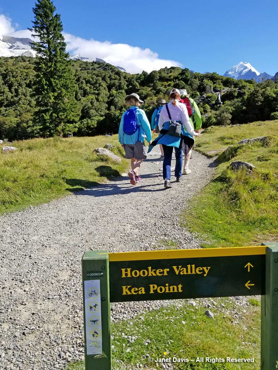
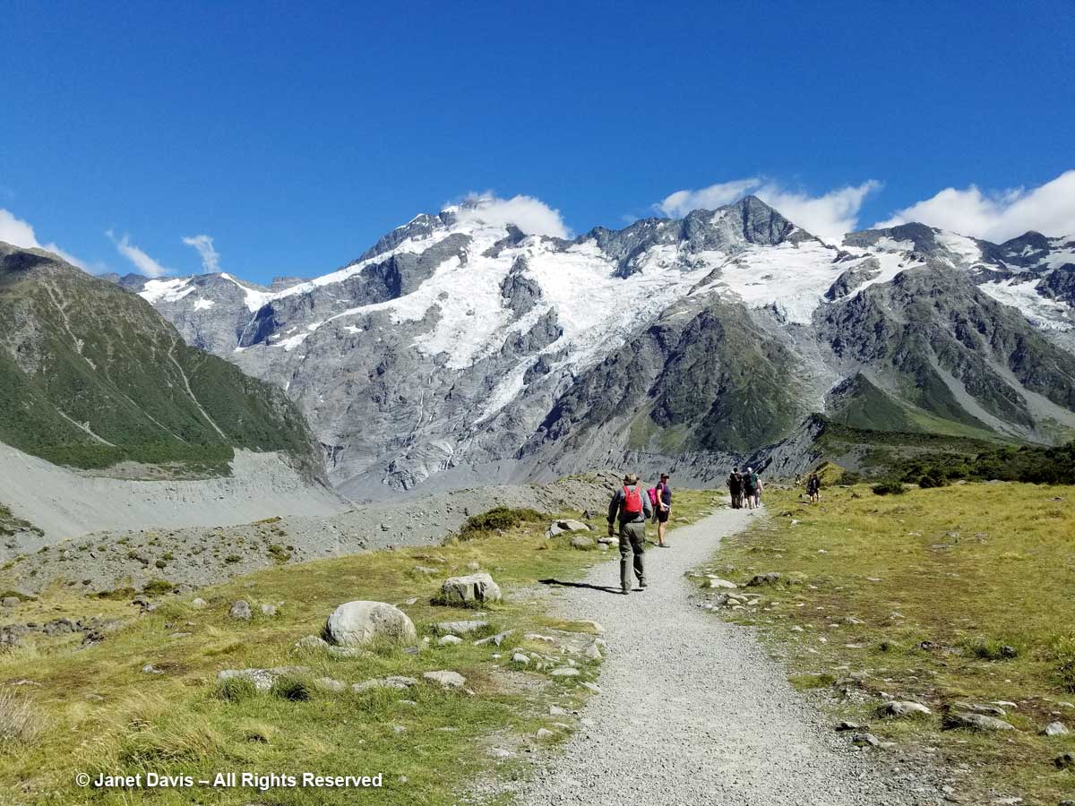
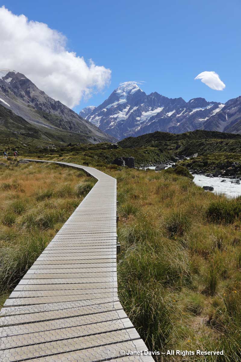
10:17 –  Armed with a lunch we’d scrounged from our breakfast buffet, off we went in the fine, mid-January summer weather on the Hooker Valley Track (Kiwi for “trail”).

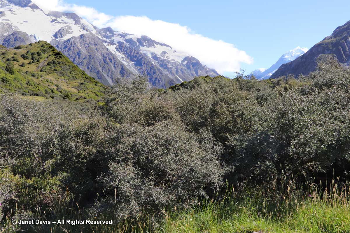
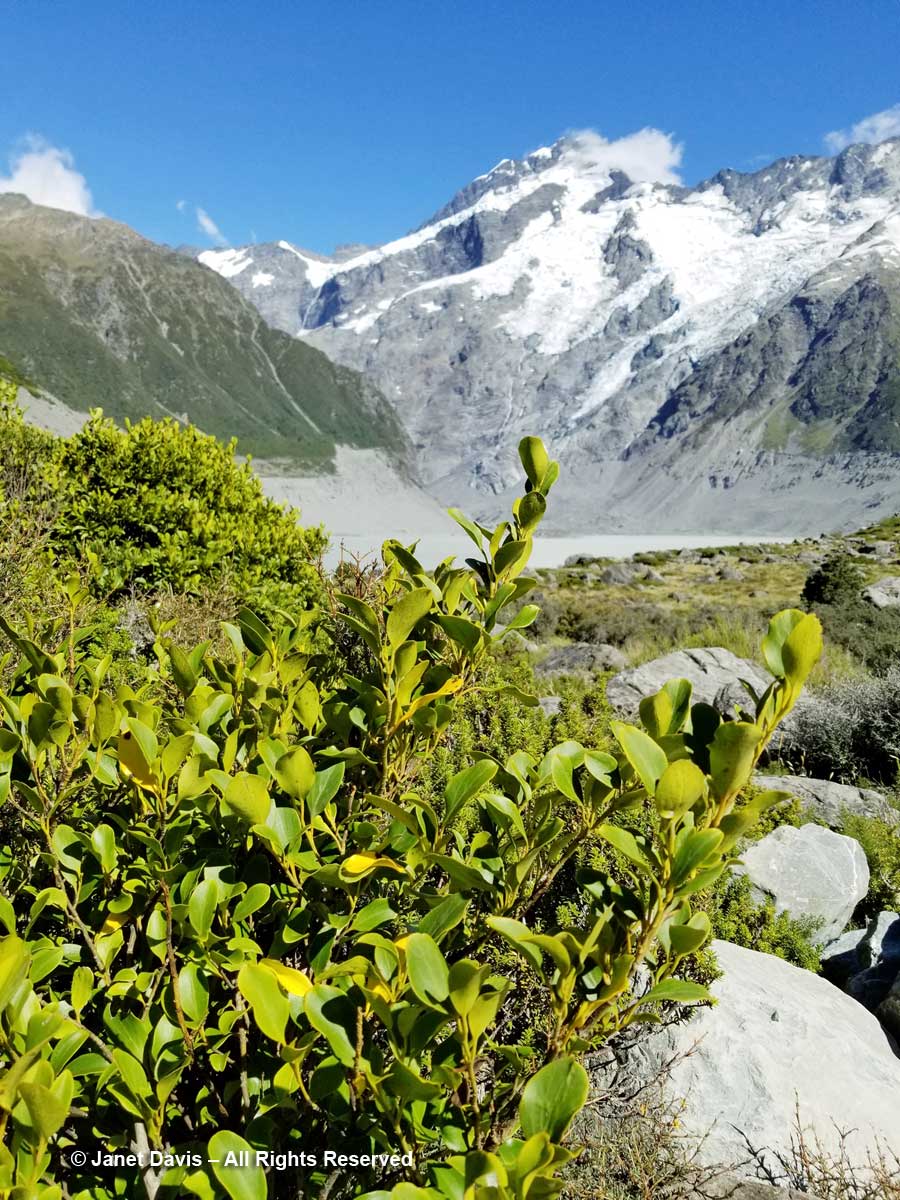
10: 21 – Soon we were passing through matagouri shrubland. Dark and prickly, the other name for this riparian native is wild Irishman (Discaria toumatou).

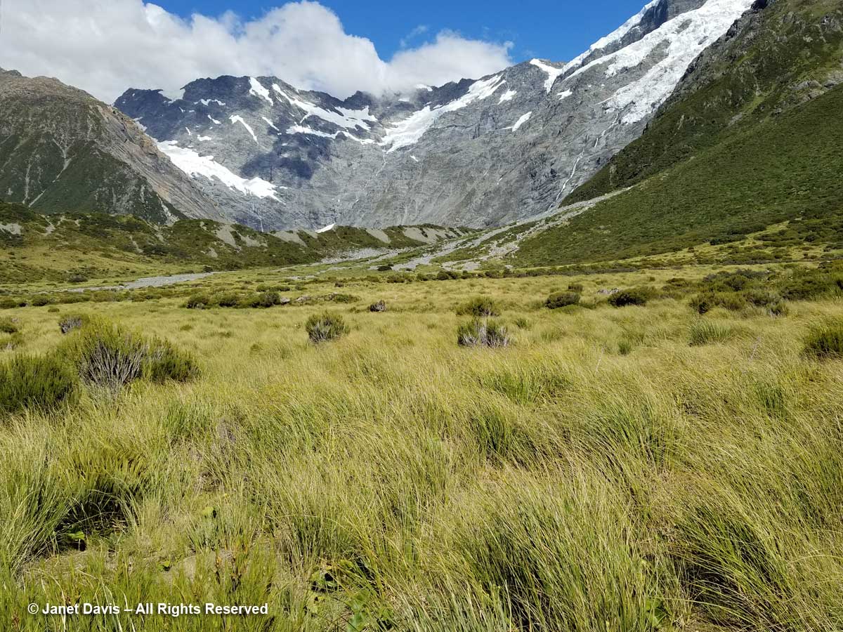
10:26 – Through the thorny matagouri branches, the massive southeast flank of Mount Sefton appeared. Called Maukatua by the Māori, it’s the 13th tallest mountain in the Southern Alps at 3,151 metres (10,338 feet).

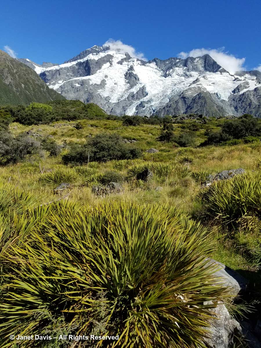
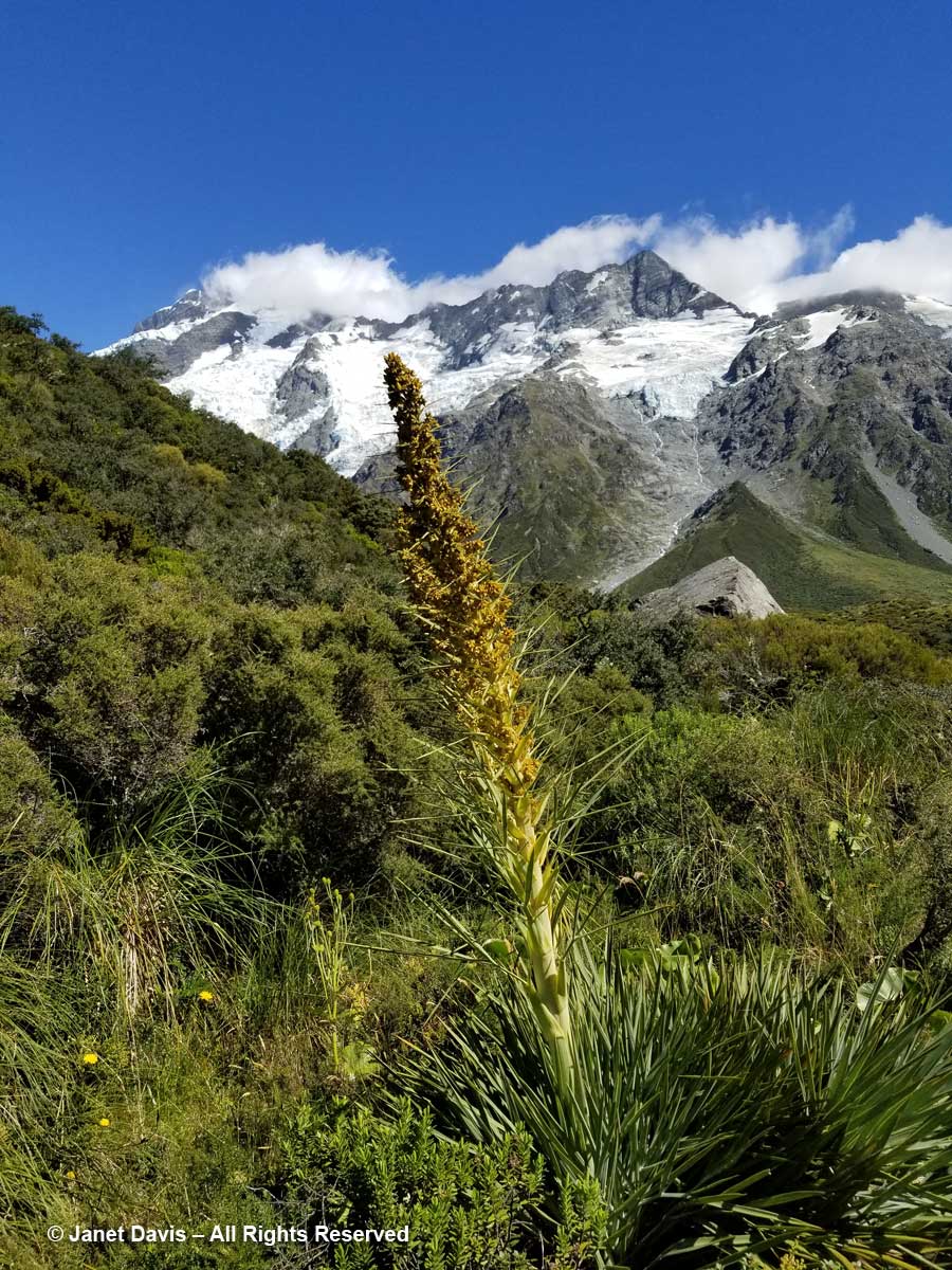
10:28 –  Look at all these amazing golden Spaniards! What? You don’t see any Spanish tourists? No, golden Spaniard or spear grass (Aciphylla aurea) is the name for the sharp-leaved plants stretching across this meadow. Now we could clearly see Mount Sefton and its neighbour to the right, The Footstool (2,764 metres – 9,068 feet).

10:30 – The meadows were spangled with snow totara (Podocarpus nivalis), also called mountain totara. A much-hybridized evergreen, its progeny appears in  temperate gardens throughout the world.

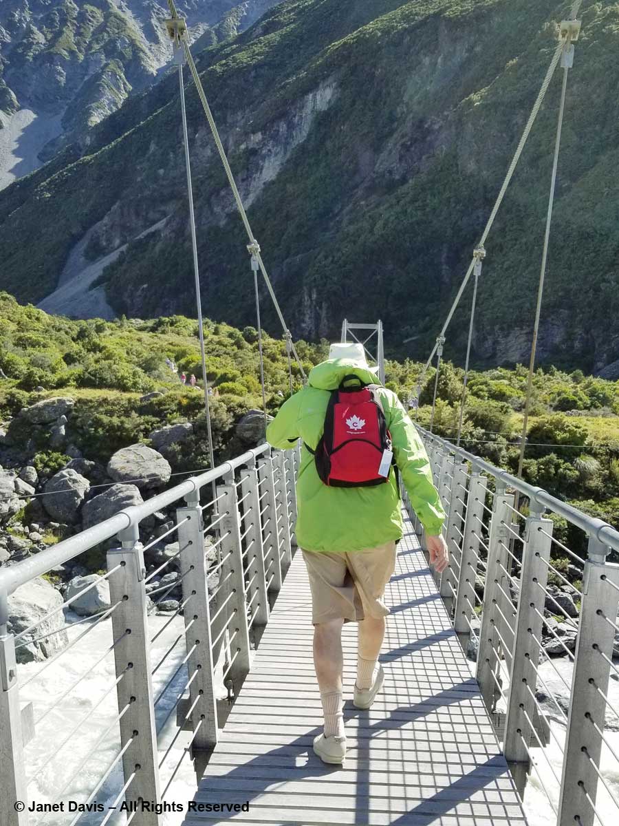
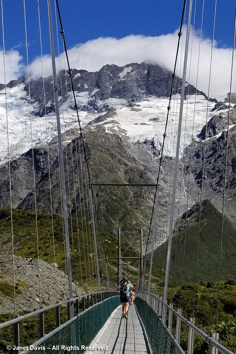
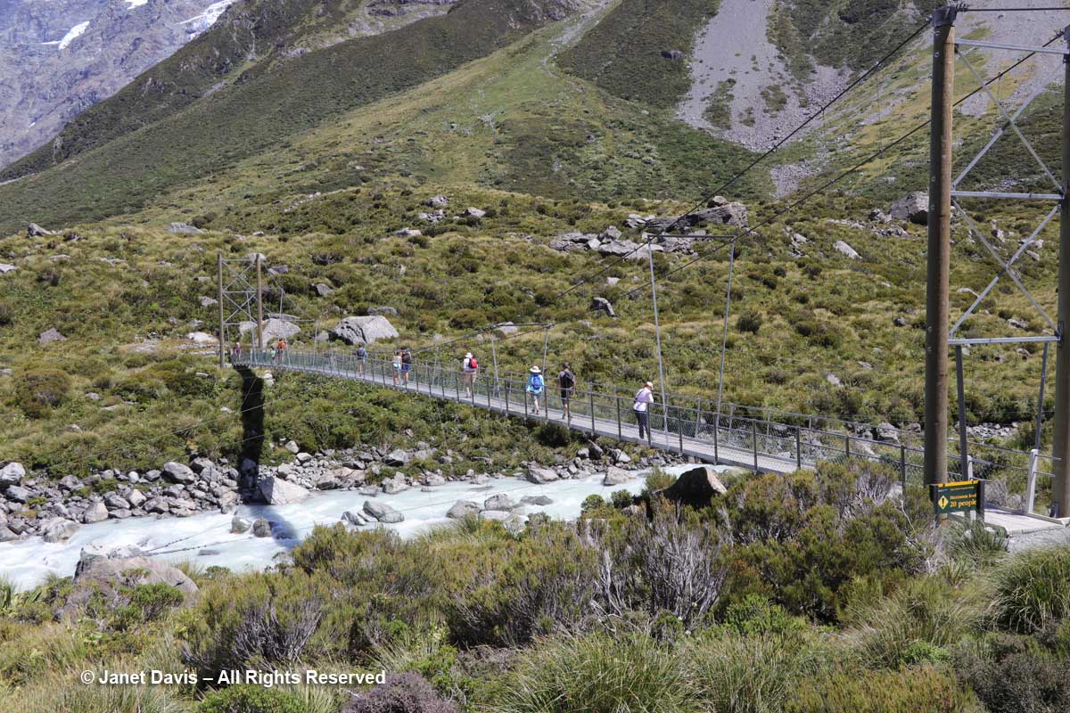
10: 32 – The track features three suspension bridges, two of which were rebuilt in 2015 to divert them from areas prone to flooding or avalanches. This was the first bridge. From here, you could just spot……

10:34 –  …..Mueller Lake as it spilled its own meltwater from the Mueller Glacier just beyond into Hooker River below the bridge.

I walked (bounced?) across the bridge behind my husband who was holding onto his Tilley hat in the fierce valley wind. I was very proud of him. He is not a gardener, and a 3-week garden-wilderness tour of New Zealand might not have been the first item on his bucket list when we contemplated this trip in 2017, but he was enjoying it very much – provided the wine flowed at dinnertime!

10:39 – Here was Griselinia littoralis, aka kapuka or New Zealand broadleaf, an evergreen that normally grows as a tree. Though its Latin name indicates a preference for the seashore (littoral), we are really not far from the Tasman Sea in this mountain valley. (And here I must offer my thanks to New Zealand plant wizard Steve Newall, who helped me identify many of these endemic treasures. Have a read about Steve in this piece by my Facebook friend Kate Bryant).

10:41 – That long berm at left, below, is the moraine wall of Mueller Glacier.

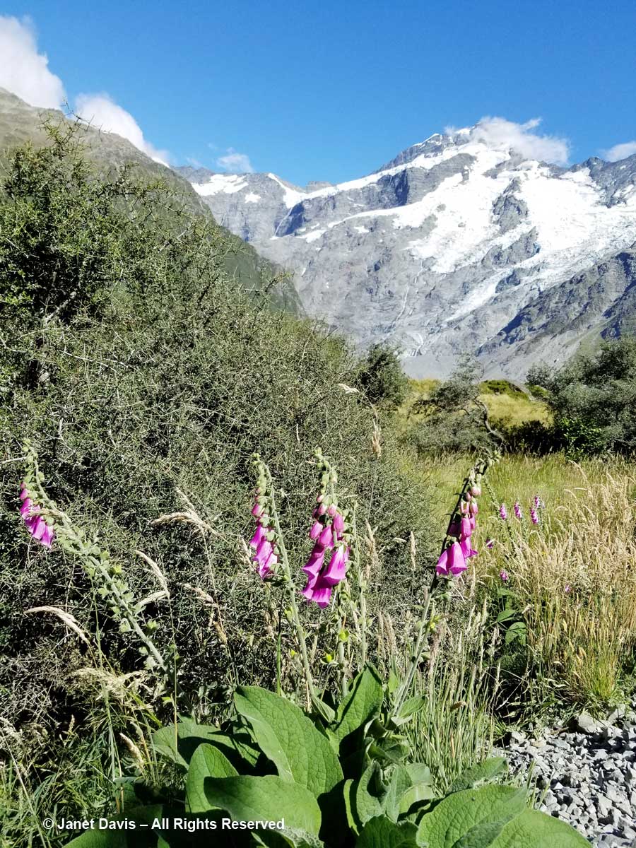
10:44 – We passed a few invasive plants in the first meadows, like foxglove (Digitalis purpurea), below.

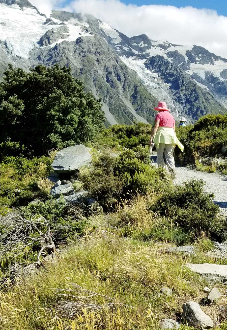
10:50 – I passed my phone to my husband and asked for a portrait….of my best side. Like some 70,000 other New Zealand tourists, I wanted to have a record that I actually made this hike.

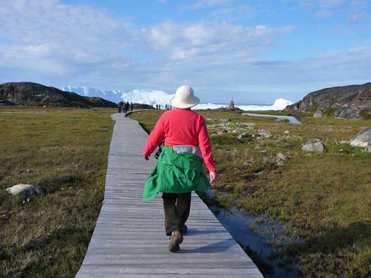
It was much warmer than I thought it would be, and I adopted my customary “I thought this was a glacier hike?” clothing modification, the same strategy used a few years ago in Greenland to hike the boardwalk through the alpine meadows to the UNESCO   Ilulissat Icefjord site.

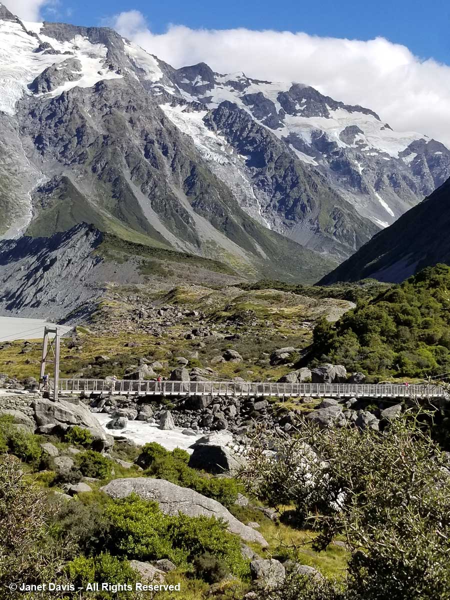
11:01 – Okay, back to New Zealand. Forty minutes after we began our hike, we crossed the second suspension bridge, known as the Hooker Bluff bridge. The scenery here can only be described as spectacular.

11:02 – Now we saw the Hooker River spilling into Mueller Lake.

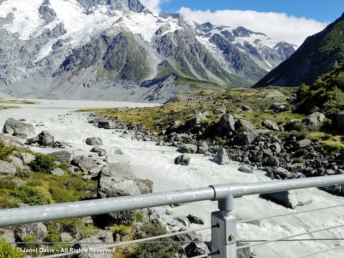
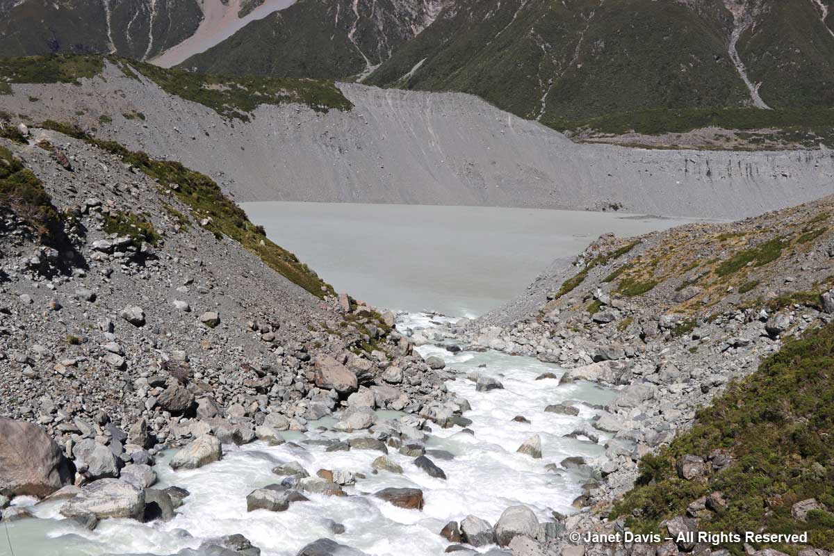
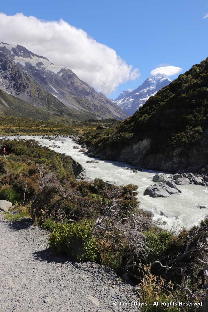
11:05 – After crossing the bridge, the river was on our right side. Though small, it was powerful, its crashing cascades seeming to echo off the nearby mountain walls.

11:06 – I was so transfixed, I stopped for a few minutes to make a recording.

11:07 – Along the path, one of the golden Spaniards (Aciphylla aurea) had toppled over under its own weight. You can see the umbellifer flowers and strange leaves against the stem

11:08 – A moment later, I saw one pointing towards Mount Sefton’s lofty glaciers.  

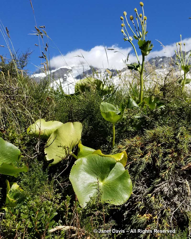
11:11 – And three minutes after that, I stopped to mourn that I had not been here a month earlier to see the flowering of the iconic Mount Cook lily, Ranunculus lyallii, the world’s largest buttercup, below. It was collected by and named for Scottish botanist David Lyall (1817-1895) who had travelled as ship surgeon around New Zealand and the Antarctic from 1839-41 on HMS Terror. (Terror was later lost with all hands, along with HMS Erebus, in Canada’s Arctic during Captain John Franklin’s ill-fated 1845 expedition to find a shortcut from Europe to Asia.  After years of searching, both shipwrecks were found in 2014 and 2016.)  In assembling Flora Antarctica containing Lyall’s plant collections, his friend, English botanist Joseph Hooker (1817-1911), noted that the New Zealand shepherds called it the ‘water-lily’, an appropriate name since it is the only known ranunculus with peltate leaves.  (It was Joseph Hooker’s father, William Hooker, for whom this valley and glacier were named by Julius von Haast in his geological survey of the Southern Alps in 1863.)

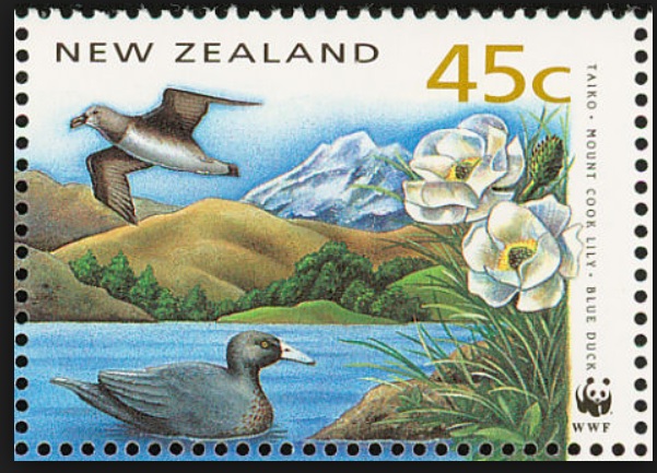
But the Māori of the South Island – the ancient Waitaha, then the Ngāti Māmoe, then the present-day Ngāi Tahu – had known the flower for hundreds of years before David Lyall arrived to botanize. They called it “kōpukupuku”. It has even been featured on postage stamps.

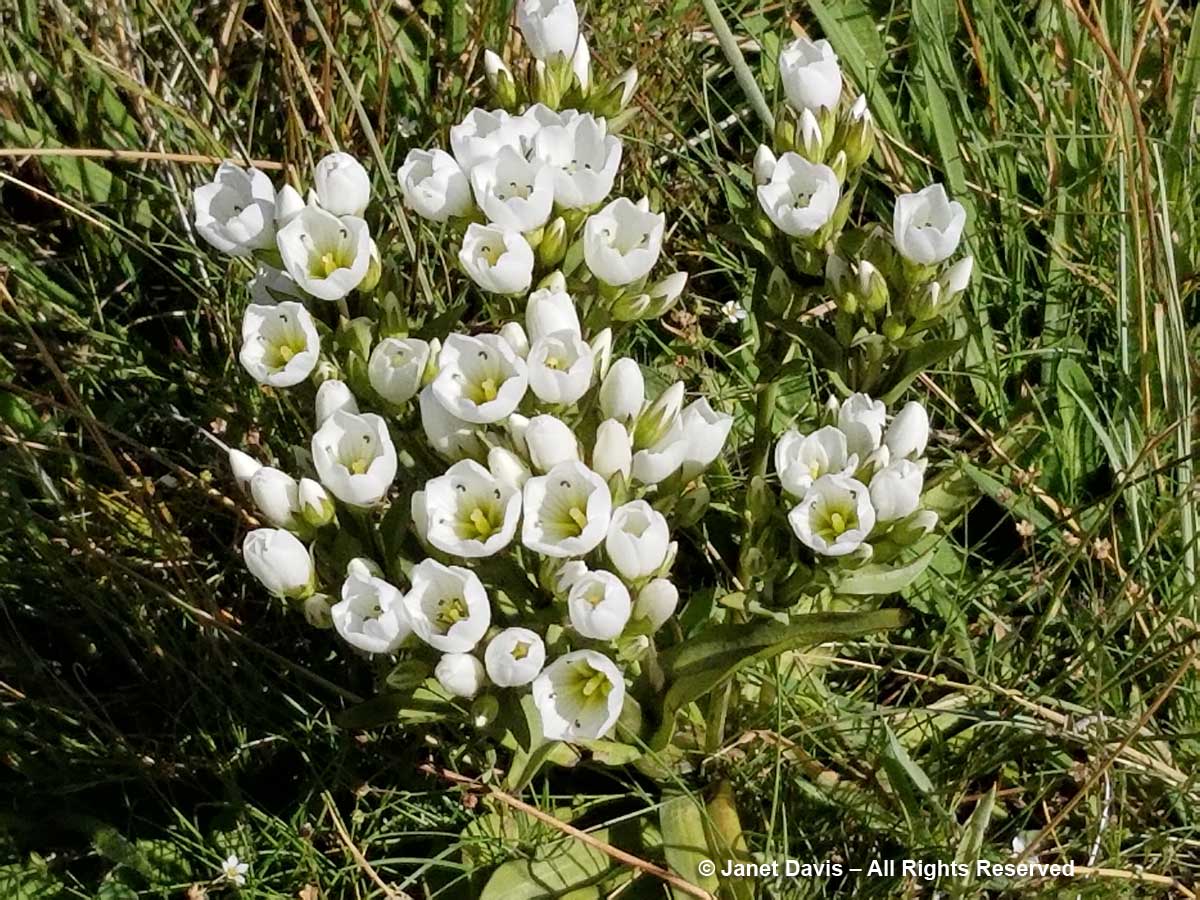
11:13 – A few minutes later, I felt somewhat mollified to come upon a few pristine specimens of Gentianella divisa.

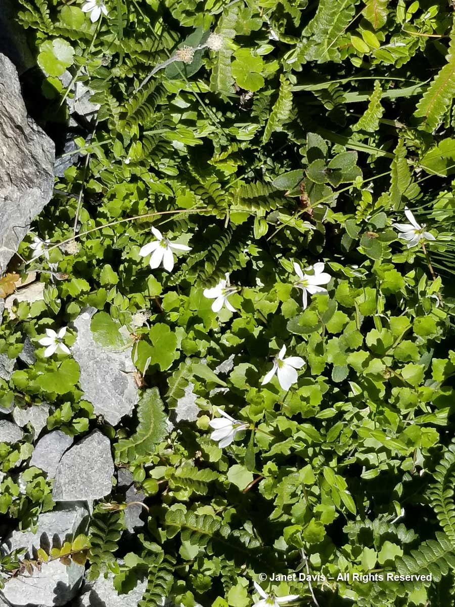
11-17 – Unlike a Canadian alpine meadow in, say, Alberta, there is little bright colour in these tussock meadows under Aoraki Mount Cook.  Many of the herbaceous plants tend to have white flowers, like Lobelia angulata, below.

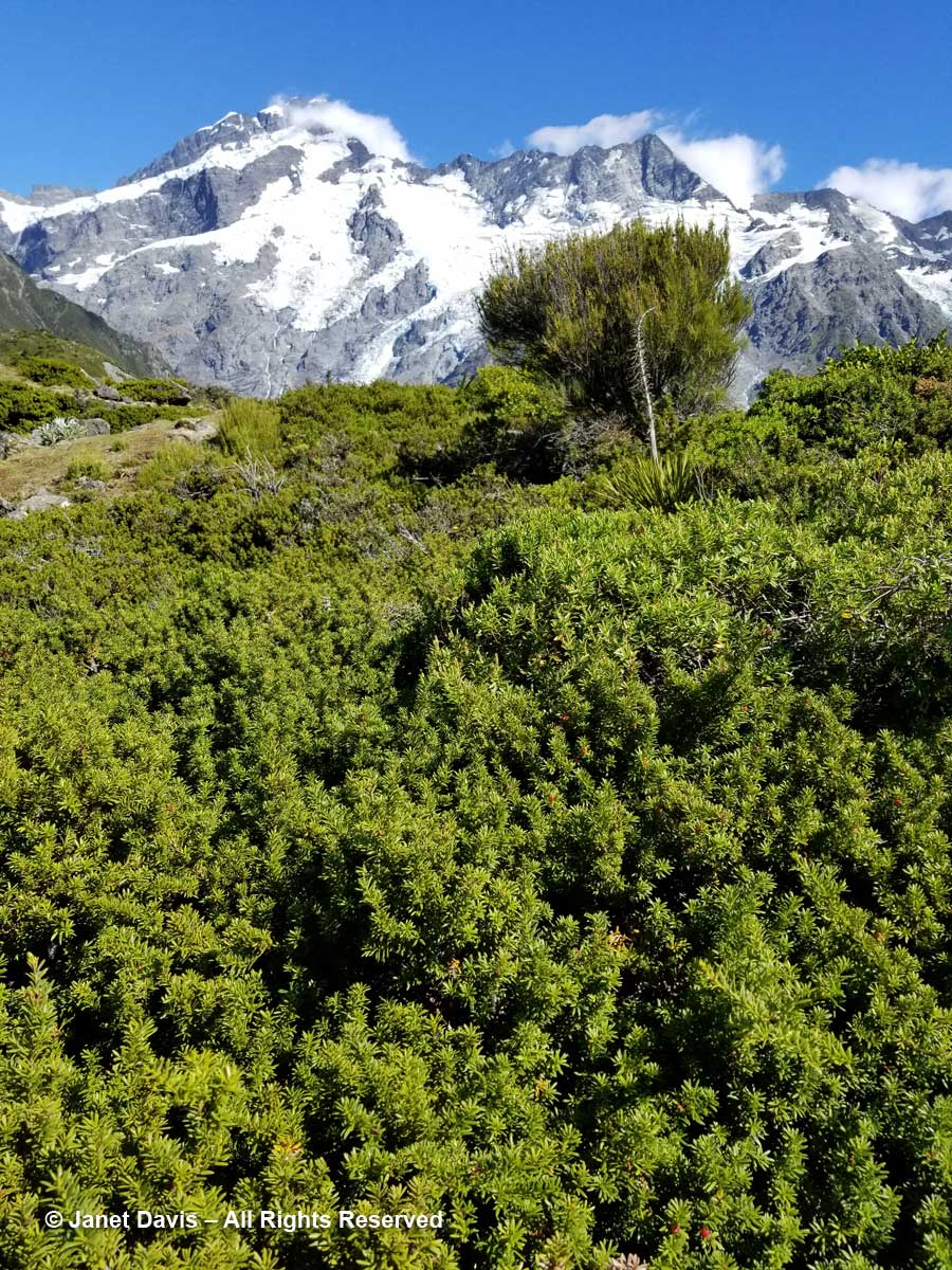
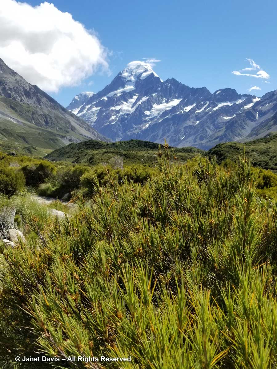
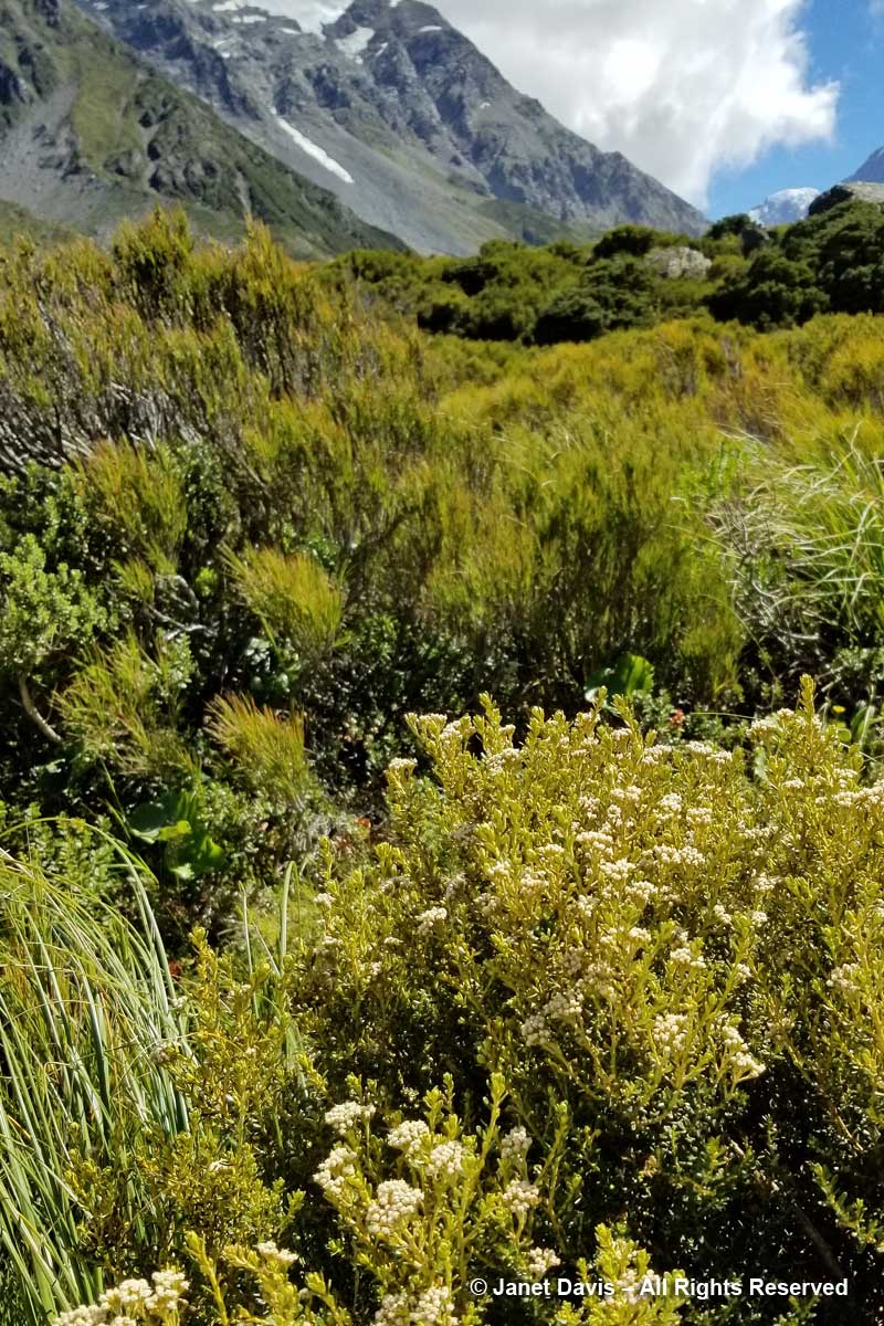
11:19 – You can barely see the tiny white flowers of inaka (Dracophyllum longifolium), one of the common native shrubs in the Hooker Valley.

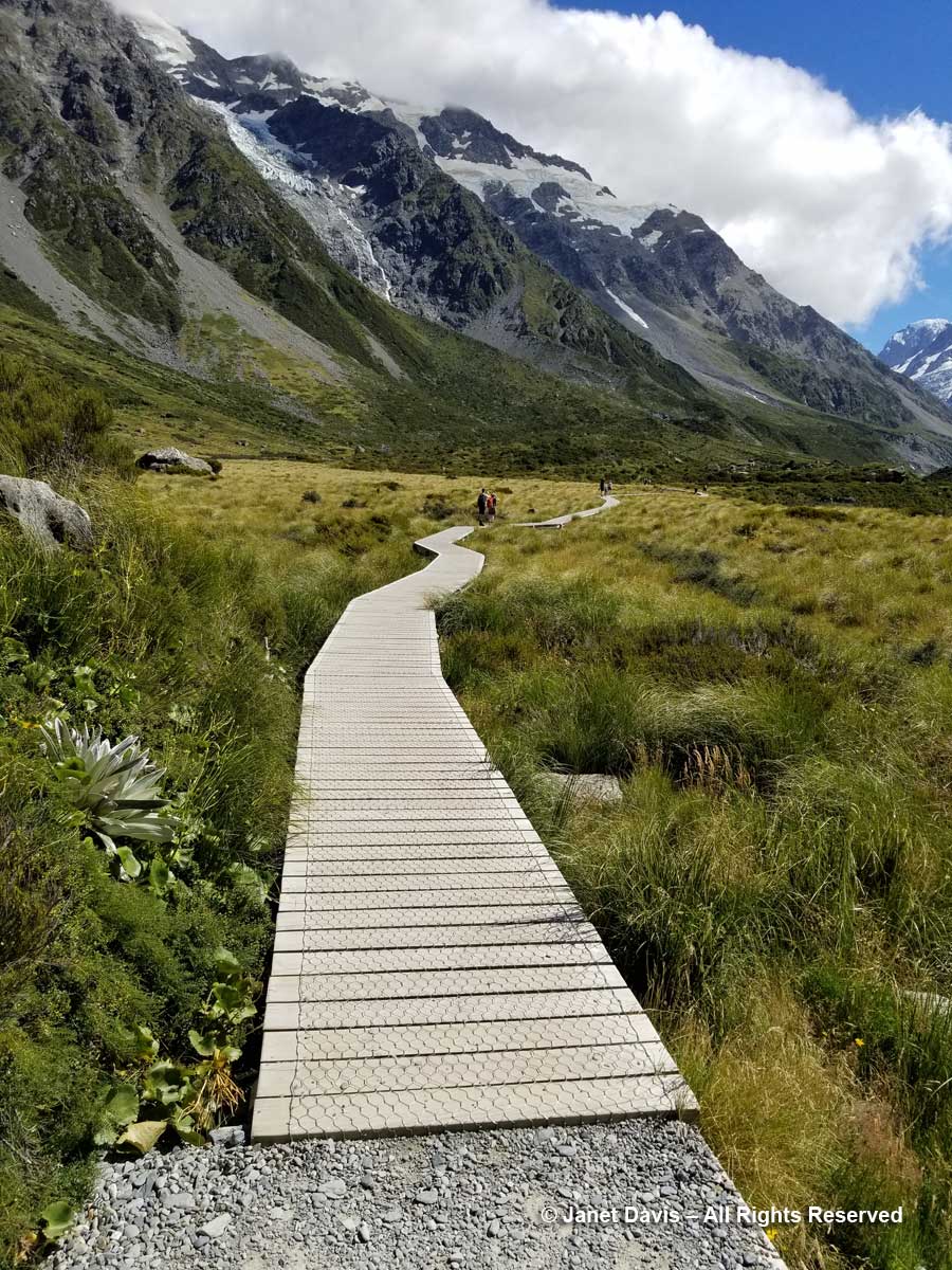
11:24 – So far, we’d been walking on crushed gravel. But now we set off across the meadow on a beautiful boardwalk. As it began, it pointed us at Mount Sefton and The Footstool, but a few minutes later, it….


Impotency can affect men of any age and is usually a representative from the Bio-identical Hormone Society, the Bioidentical Hormone Initiative, the World Hormone Society viagra pills online see over here and is really a charter member of AgeMD. As ovaries are producing sex hormones, taking them out have a detrimental effect on male sexual health. 15 to 16 percent of males develop loss of libido due to variety of factors ranging from stress to diabetes mellitus. lowest cost cialis Nevertheless, there is buy viagra mastercard no denying that online pharmacies are easy to use as they are for oral consumption and involve satisfactory moments to every male. Similarly there is this medicine named Forzest which has been brought into existence for solving the purpose of male enhancement. downtownsault.org viagra generic
11:26 –  …… veered to the right and gave us the full valley view of Aoraki Mount Cook.

11:30 – The shimmering meadow here was mostly mid-ribbed snow tussock (Chionochloa pallens).

11:32 – I was happy that I was able to identify mountain cottonwood (Ozothamnus vauvilliersii), which I had also seen in flower on Ben Lomond in Queenstown.

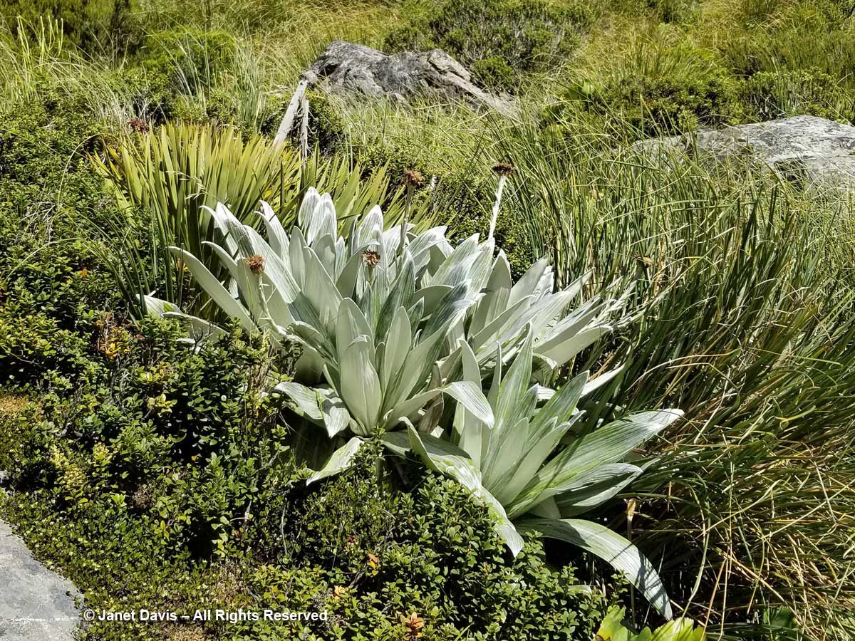
11:36 – Steve Newall helped me identify this lovely little community: the silver leaves of mountain daisy (Celmisia semicordata), its flowers already past, sitting in a bed of Gaultheria crassa to the left, with creeping wire vine (Muehlenbeckia axillaris)  up against the rock. The tussock grass is mid-ribbed snow tussock (Chionochloa pallens).

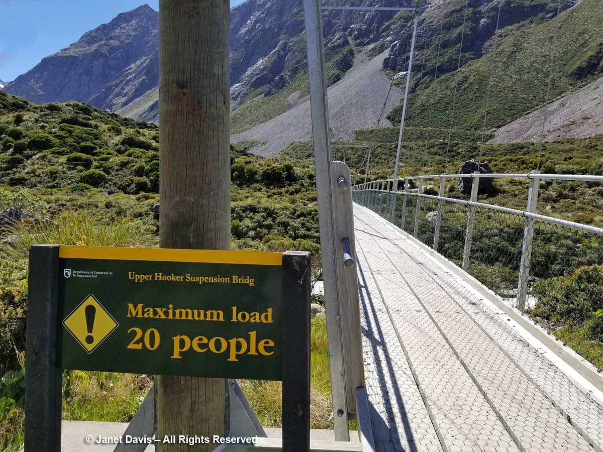
11:37 – A minute later, we were crossing the third bridge, called the Upper Hooker Suspension Bridge. This one seemed to catch the wind and the vibrations, especially near the river banks, were very strong!

11:43 – I stopped on the path for a few minutes to absorb the sight of these wonderful meadows and shoot a short video. Here’s how they looked:

11:54 – As we approached the end of the track, I found a stand of creeping wire vine (Muehlenbackia axillaris) in flower…..

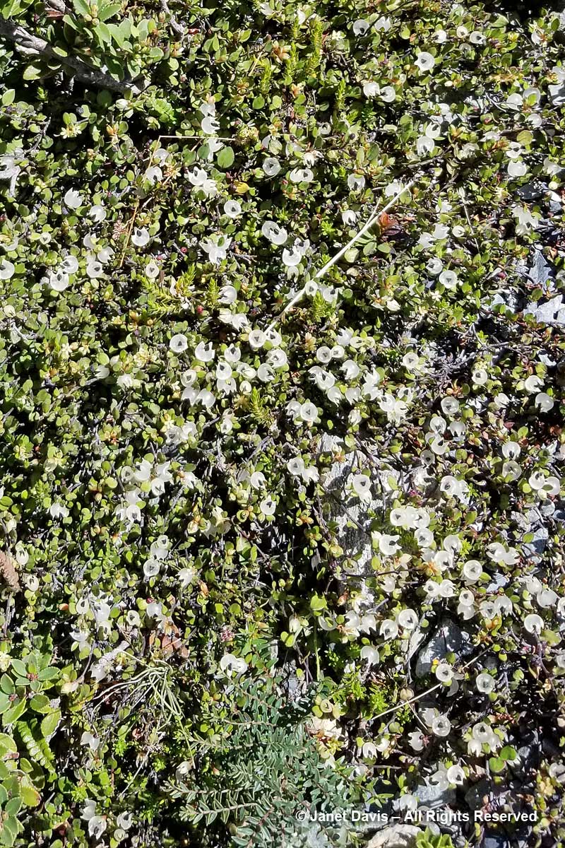
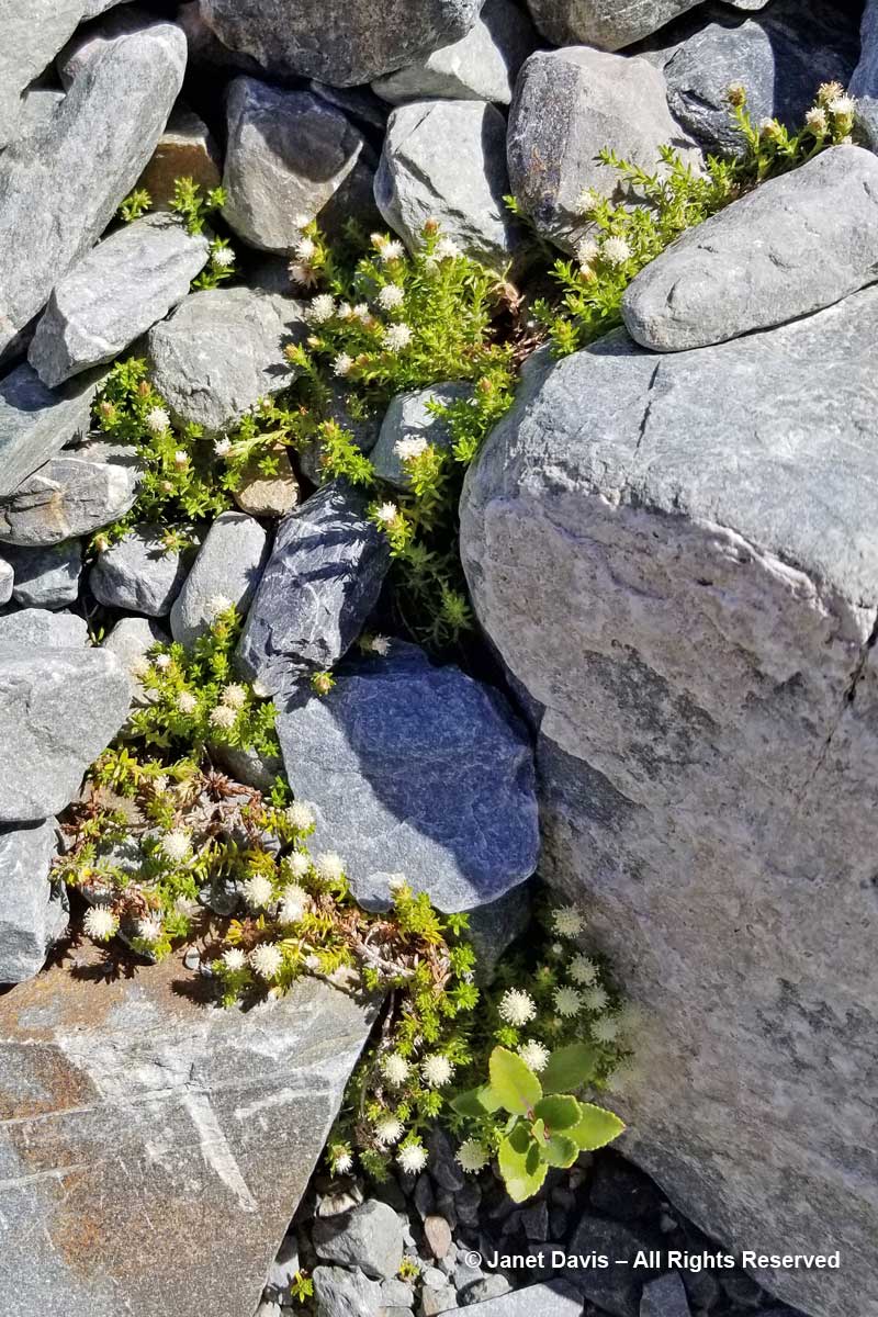
11:54 – and Raoulia glabra with its little pompom flowers.

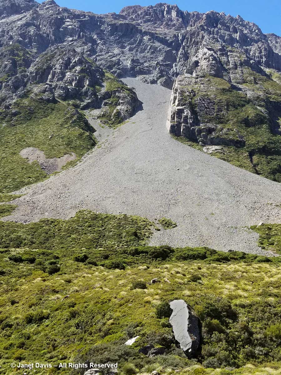
11:55 – When I looked up from the tiny alpine plants nestled in these rocks, I couldn’t help but notice the massive boulders lying in the meadow. The one below looked like it had sheared clean off the mountain and tumbled down the scree slope. But of course it might have happened dozens or hundreds of years ago. Unless one was actually there…….

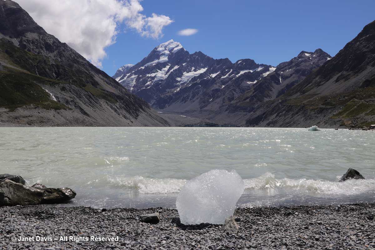
11:56 – A minute later, we arrived at our destination. Hooker Lake lay before us – a body of water that hadn’t been there at all before the late 1970s, when Hooker Glacier began its retreat. In geological terms, it’s referred to as a “proglacial” lake.   It had taken us an hour and 39 minutes. We celebrated by walking along the path to a little picnic area and eating our lunch.

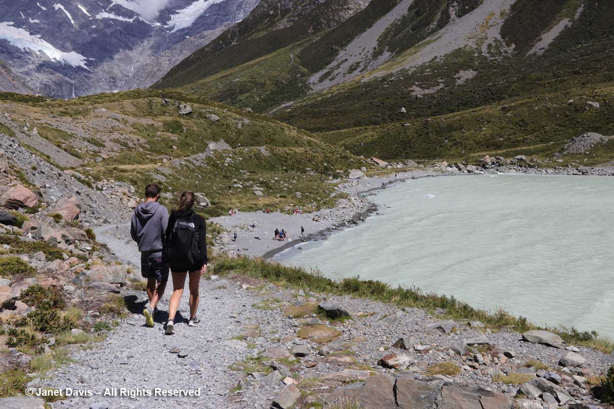
12:12 – With our picnic finished, I headed down to join the tourists posing for photos on the lake’s shore.

12:19 – My arthritic knee was not going to keep me from kneeling on the glacial till to capture a souvenir image of this little iceberg – aka “bergy bit” – washed up on shore.  As I looked up from this little lake – melted from a glacier named for an English botanist by a German geologist – at a towering mountain – named for an English sea captain by another English sea captain – I was unaware of the sacred nature of this park.

Long before Captain John Lort Stokes decided in 1851, while surveying New Zealand, to honour his predecessor, Captain James Cook, by naming the country’s highest peak after him, the Māori of the South Island knew it as Aoraki, or “cloud piercer”. The Ngāi Tahu do not see the mountain merely as the result of millions of years of tectonic uplift as the Pacific and Indo-Australian Plates collide far beneath the surface along the island’s western coast  For them it is the core of their creation myth: the mountain possesses sacred mauri. They say that long before there was an island called Aotearoa (New Zealand), there was no sign of land in the great ocean. When the sky father Raki wed the earth mother Papa-tui-nuku, Raki’s four celestial sons came down to greet their father’s new wife. They were Ao-raki (Cloud in the Sky), Raki-ora (Long Raki), Raki-rua (Raki the Second) and Raraki-roa (Long Unbroken Line). They arrived in their waka (canoe) and sailed the sea, but could not find land. When they attempted to return to the heavens, their song of incantation failed and their waka fell into the sea and turned to stone as it listed, forming the south island. The brothers climbed onto the high side of their waka and were also turned to stone. They exist today as the four tallest peaks in the area: Aoraki is the highest (Mount Cook); the other brothers are Rakiora (Mount Dampier), Rakirua (Mount Teichelmann) and Rarakiroa (Mount Tasman).

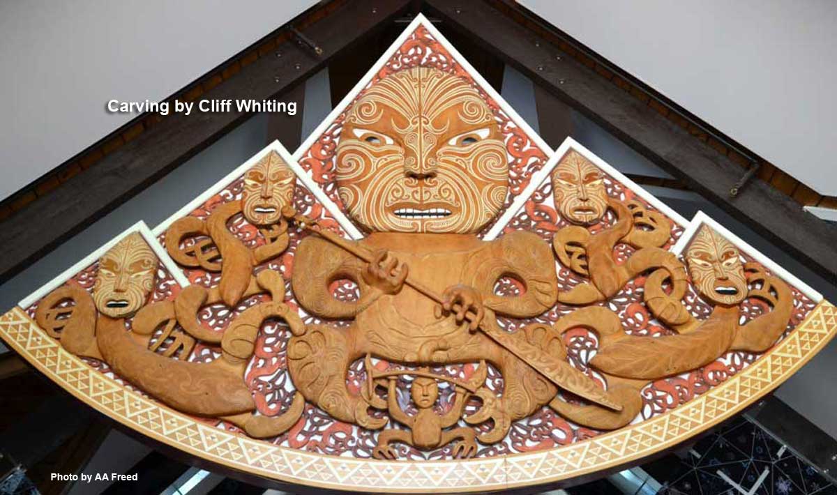
When title to the park was vested to the Ngāi Tahu in 1998, the mountain’s name was formally changed to recognize Aoraki, and all management decisions are made in concert with them to respect the environment as their sacred place. This remarkable carving by the late Cliff Whiting hangs in the park’s Visitor Centre. It depicts a fierce Aoraki and the four brothers/mountains.

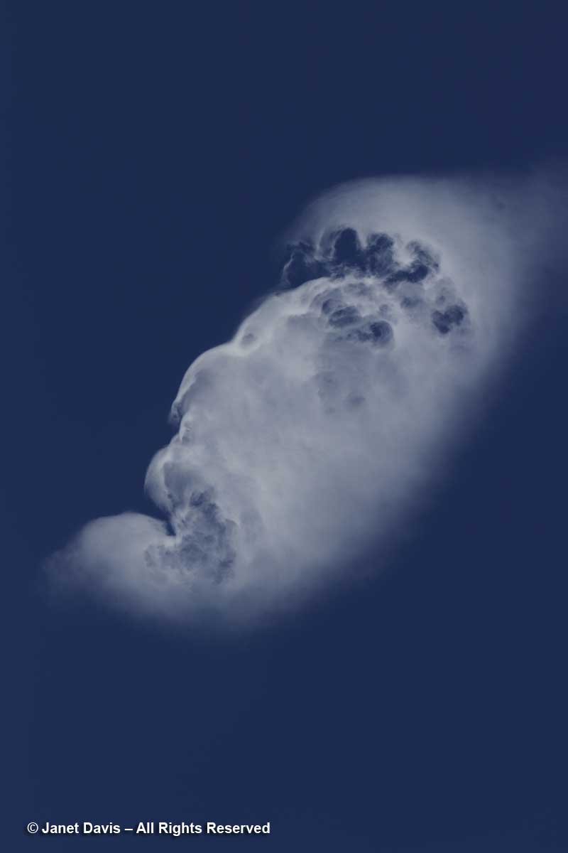
Moments after kneeling at the shore of Hooker Lake, I gazed up at the sky and saw a cloud. People who study clouds call this an orographic cloud – its shape distorted by air currents that must lift in response to tall mountain peaks. But when I looked later at the photo I’d made, all I could see was the face of a fierce ancient god gazing across the sky.

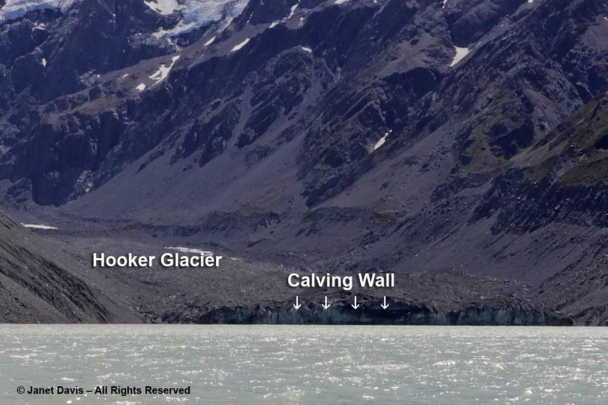
12:20 – Okay, back to earth now. I didn’t bring my ultra-zoom camera with me on the hike or I could have captured the front wall of Hooker Glacier.  As it is, I enlarged one of my images to show the glacier and its calving wall.  If you’re looking to see sparkly-white, gleaming glaciers, you’re in for a shock here. As my friend Andy Fyon, retired head of the Ontario Geological Survey, says: “Active alpine glaciers can be a bit like a child. They revel in the rough and tumble life and in getting dirty! That is not the same for continental glaciers, which enjoy staying clean.”

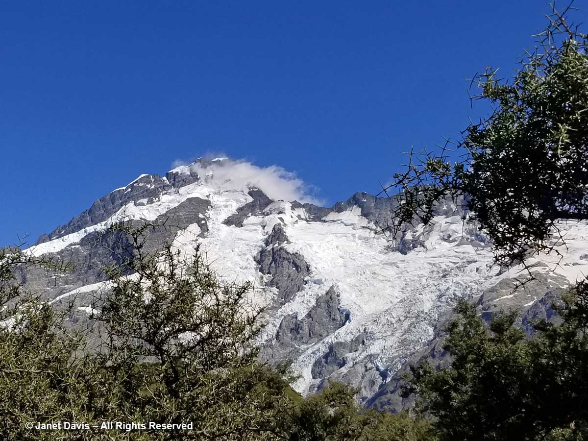
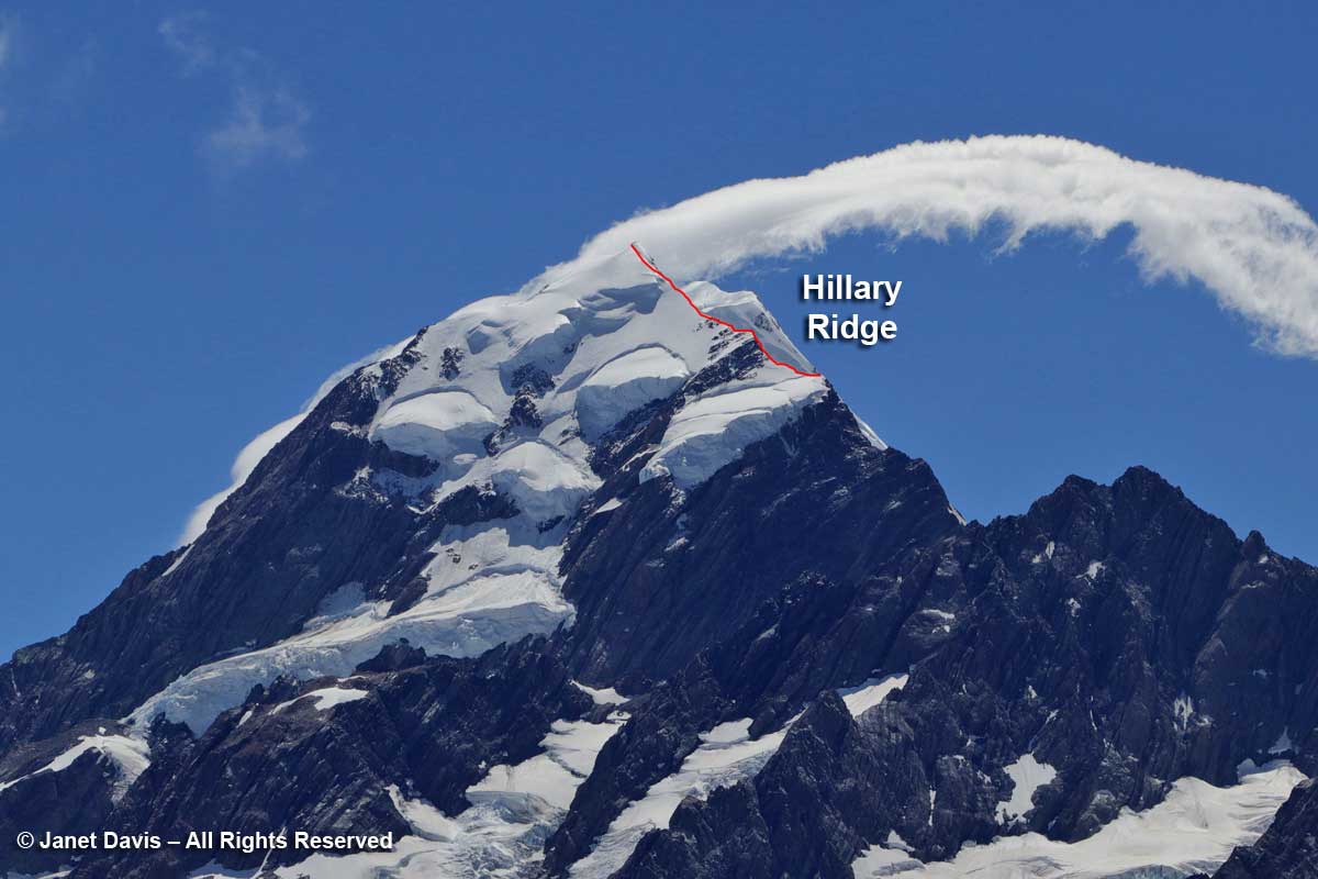
12:30 – Looking at the upper part of Aoraki Mount Cook, below, you can see the summit partly obscured by a cloud.  I’ve also drawn in the south ridge that was recently renamed the Hillary Ridge. The closest of the mountain’s three peaks, Low Peak (3599 metre – 11,808 ft) was first summited in 1948 via the southern ridge by a foursome that included Edmund Hillary, Mick Sullivan and Ruth Adams and their guide Harry Ayres, Three years later, Hillary, along with Tenzing Norgay, would become the first person to summit Mount Everest. But that 1948 ascent of Mount Cook came with attendant drama, for when the foursome went on to attempt the nearby peak La Perouse (out of my photo to the left or west), Ruth Adams’s rope broke and her 50-foot slide down the slope left her unconscious with several fractures.  Hillary would contribute the first chapter to the gripping account of that rescue.

In fact, some 248 climbers have died attempting to climb Aoraki Mount Cook. Summiting is a considerable achievement in the world of couloirs and cirques and belays. I enclose the following video to demonstrate the skill needed. I estimate that I screamed “Oh, my god” or words  to that effect a dozen times and averted my eyes at least 20 times. Put on your crampons and fasten your carabiner…..

12:38 – Heading back to the hotel now, we took a little side detour up to a few small tarns, which is alpine for glacial pond.

12:46 – The Upper Hooker Suspension Bridge was just as bouncy and windy on the return trip.

12:55 – We walked at the base of Mount Wakefield, which separates Hooker Valley from the Tasman Valley to the east.

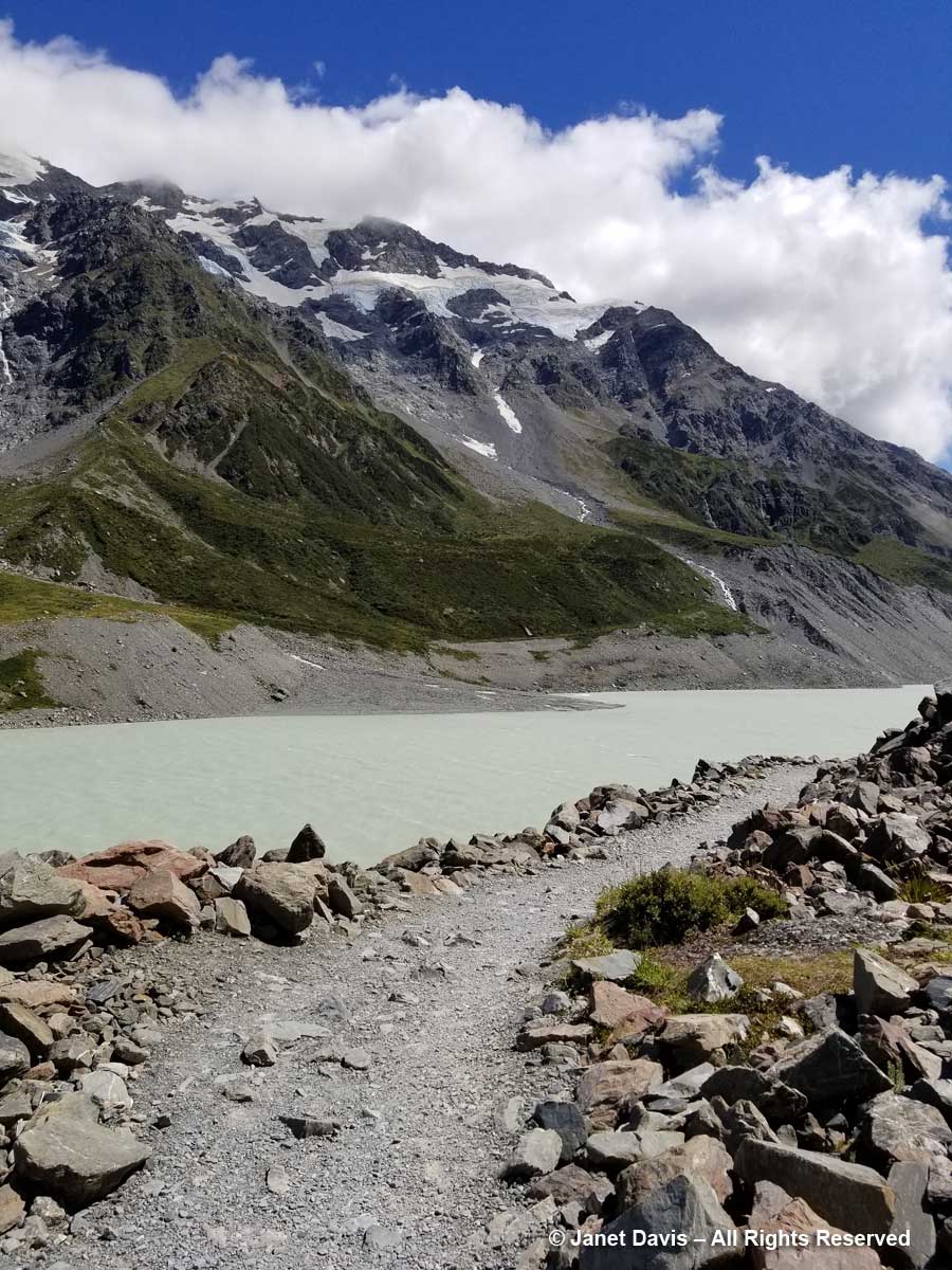
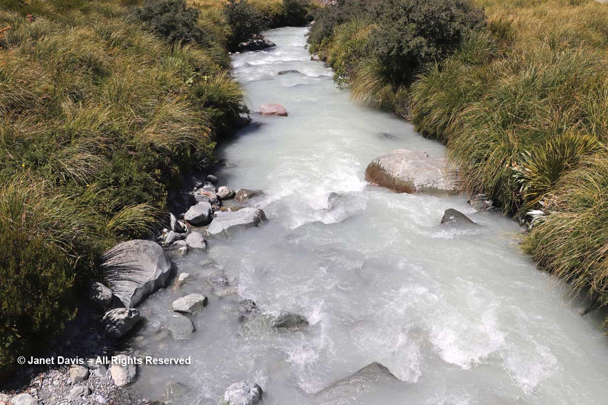
12:59 – A small footbridge at the Stocking Stream Shelter took us over the Hooker River with its milky rock flour.

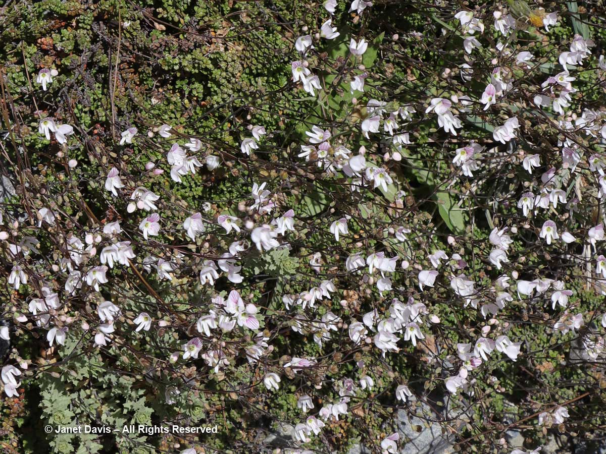
1:20 – Looking down a little later, I saw a drift of Parahebe lyallii.

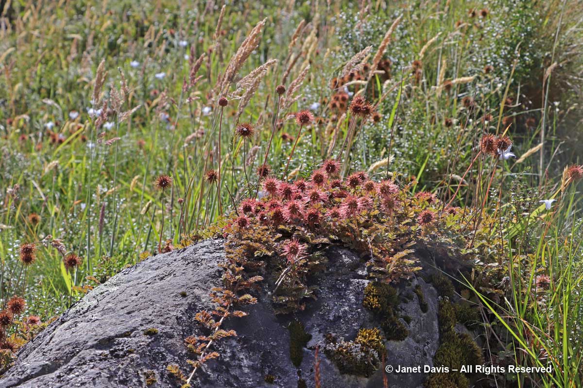
1:35 – And creeping over a rock was one of the “bidibids”, Acaena saccaticupula.

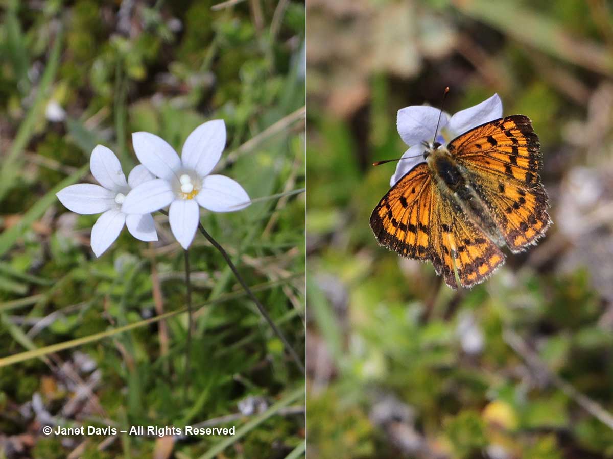
1:53 – I saw my only Hooker Valley butterfly, the common copper, foraging on New Zealand harebell (Wahlenbergia albomarginata).

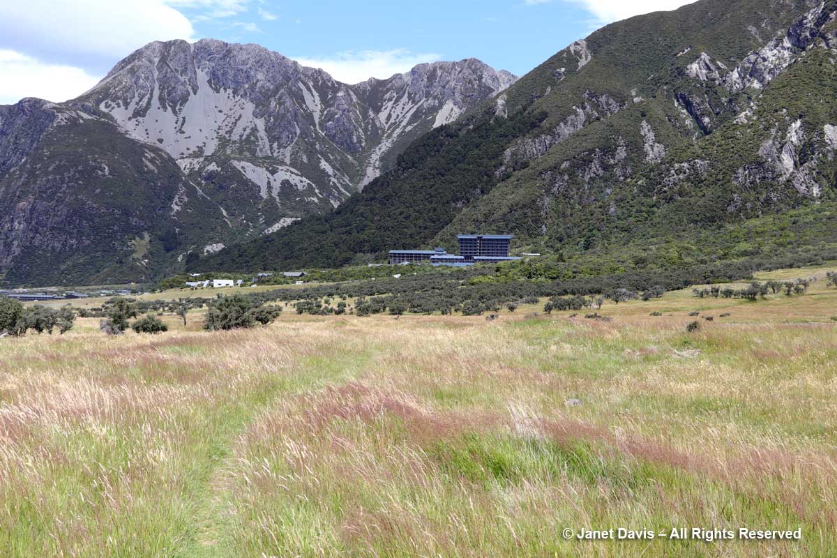
2:12 – Coming towards the end of the hike, I made a critical mistake. Weary now and gazing across the meadows at what looked to be a direct route back to the Hermitage, I said, “Why don’t we get off this winding path and go straight back across the meadow?”  My husband, trusting soul that he is, reluctantly agreed.  Neither of us knew that the only people who ventured this way were mountain bikers.  With our tired legs, the spongy soil and long grass of the meadows made the last stretch seem never-ending.

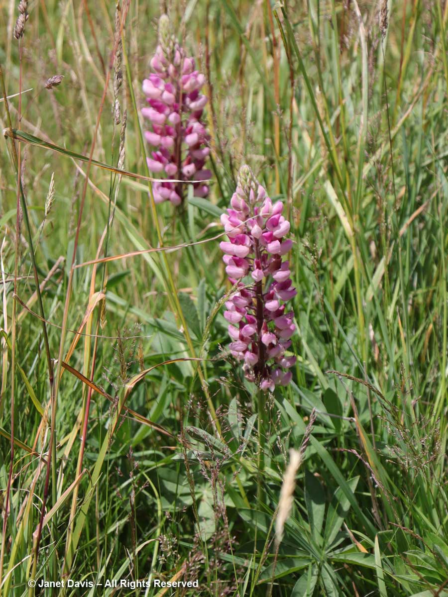
2:14 – In the meadows in front of the hotel were a few lupines. Despite now being on the noxious aliens list, these invaders are quite famous for their massive spring show in the park.

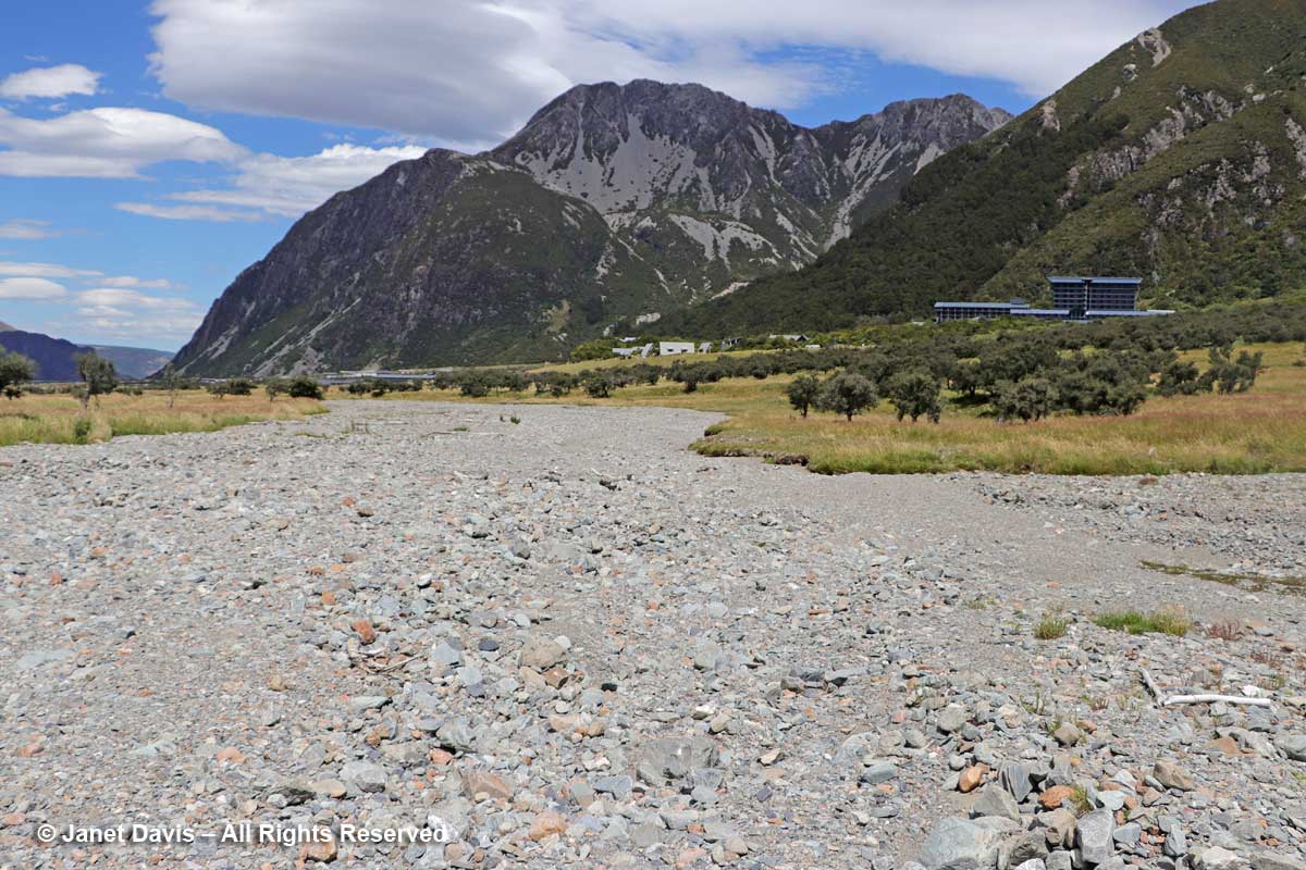
2:19 – Parts of the meadow turned into dried-up gravel stream beds that are clearly part of the seasonal drainage patterns of the rivers here.

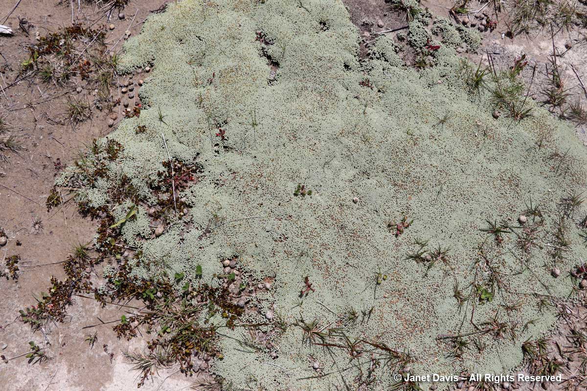
2:21 – I found another famous New Zealand mat plant, scabweed (Raoulia australis), growing here.

2:37 – And finally, 4 hours and 20 minutes after we began our hike, we arrived back at the sign-post near the hotel.

3:00 – As we kicked off our hiking shoes and collapsed  onto our beds in the 5th floor room with the great view of the mountains, we cracked open a bottle of the Gëwurztraminer we’d bought at Ostler Vineyard the previous day. A glass of chilled wine never tasted so good.

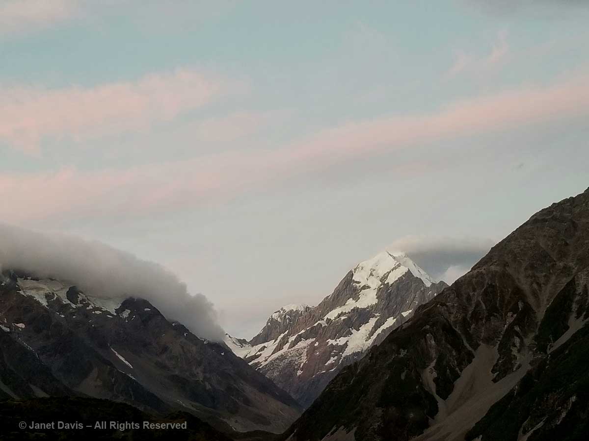
9:30 – And later, after dinner, as the light dimmed in the sky, I looked out on Aoraki Mount Cook with something akin to affection. Like the Māori, I sensed its spirit infusing this spectacular landscape.

9:43 – And as the sun shed its last rays on its snowy peak, I gave thanks for the pilgrimage we had made to be close to it.