Cruising the Eastern Arctic – Waters East of Baffin Island

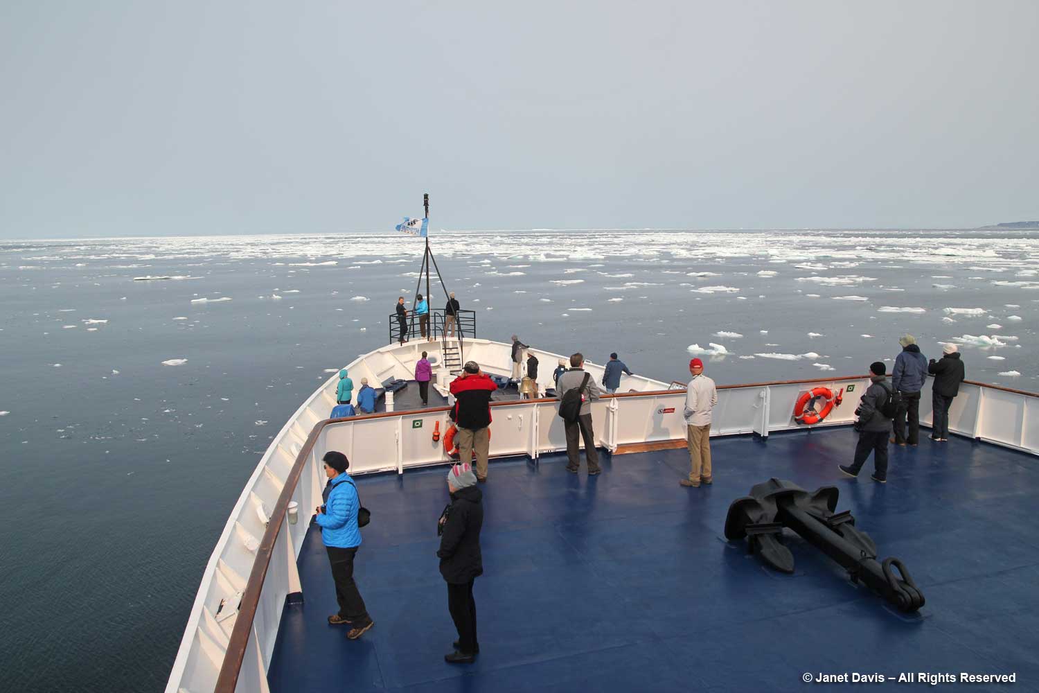
Having sailed all night after our first day in Iqaluit down the 230-kilometre (140-mile) long Frobisher Bay, we were now cruising for a full day and night in the Arctic Ocean on the south east side of Baffin Island. The largest island in Canada and the fifth largest in the world, it ranks in size behind 1) Greenland, 2) New Guinea, 3) Borneo and 4) Madagascar. Its coastline is made up of many bays, inlets and sounds. Both Baffin Island and Frobisher Bay were named for English explorers; Martin Frobisher landed on what is now Baffin Island in 1576, while William Baffin made two expeditions to the waters off Greenland in 1612 and 1615. (And as a gardener I know that the ultra-hardy, Explorer roses bred by Felicitas Sjveda at the University of Ottawa also include ‘William Baffin’ and ‘Martin Frobisher’). The waters were quiet, the air so clear, and it was our chance to walk the decks to see if we could spot animals on the sea ice.
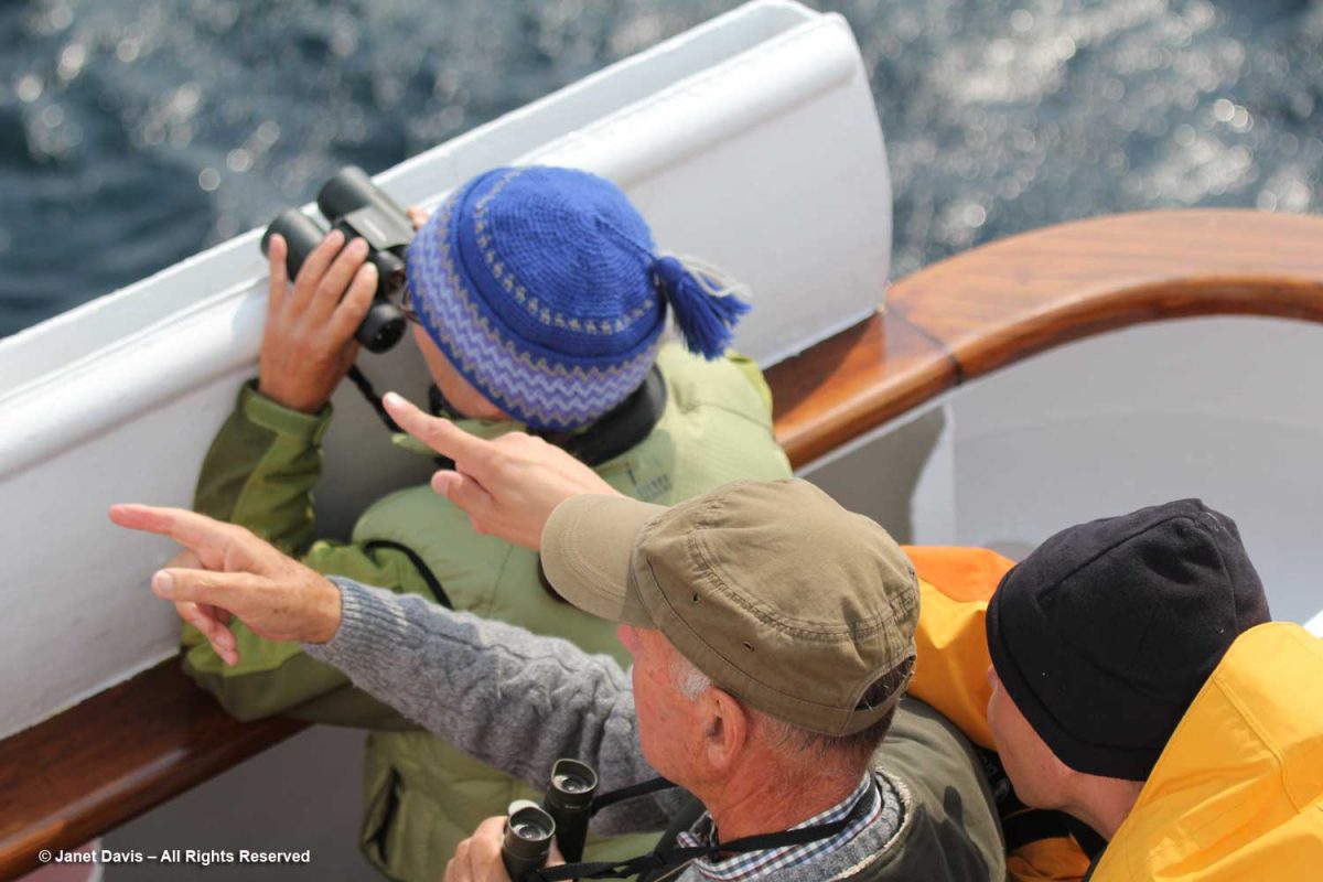
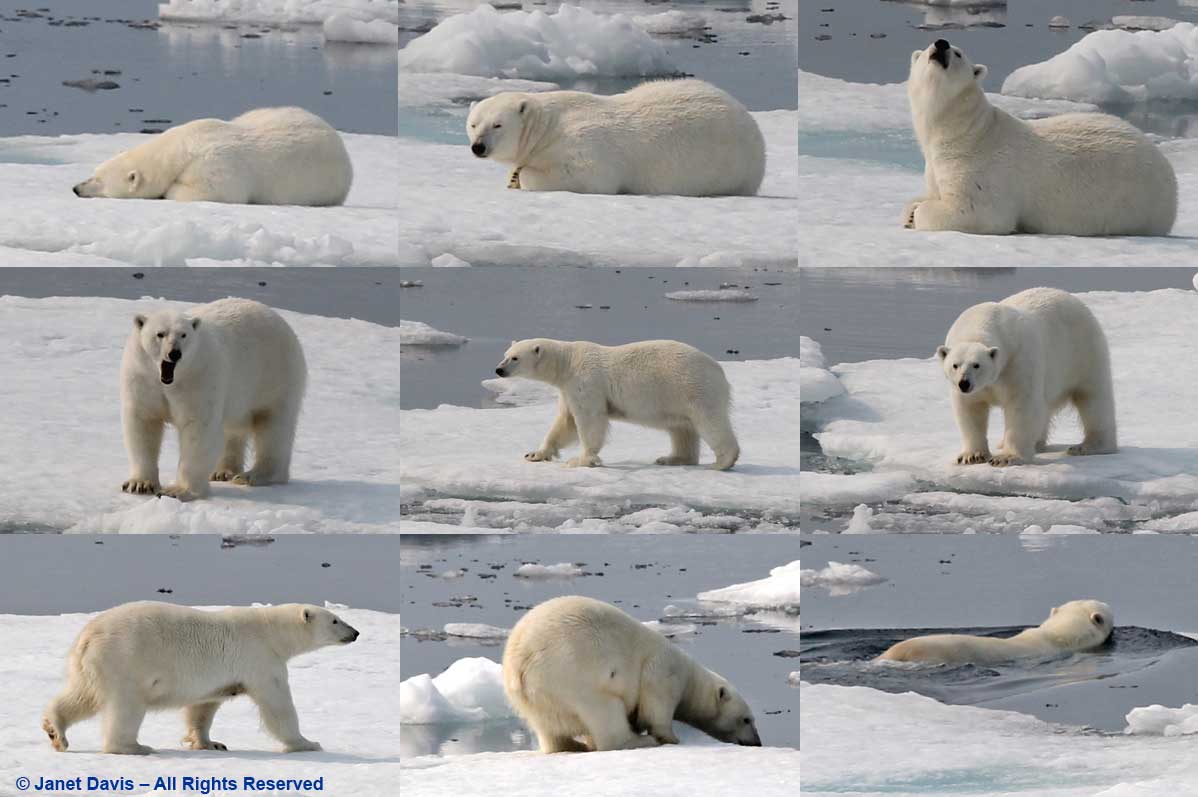
Then we heard the announcement… “Ladies and gentlemen: starboard, 2 o’clock, polar bear.”  Someone pointed excitedly and the binoculars were all trained on a distant patch of sea ice.
The captain angled the ship gently and slowed the engines, barely creeping forward, then stopped.  We gazed raptly, listening to the ship’s naturalists tell us how lucky we are to see this sight just one day into our journey; some expeditions never see a polar bear.
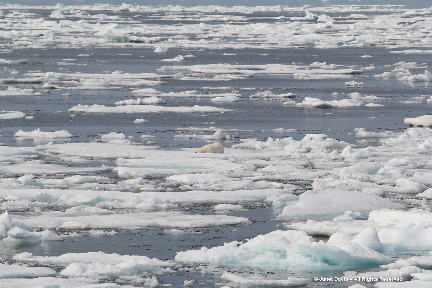
Out came my telephoto lens and I began clicking, watching as the female bear awakens, yawns, sniffs the air, rises, gazes at us, then walks around a little before slipping off the ice and swimming away.  We were jubilant!
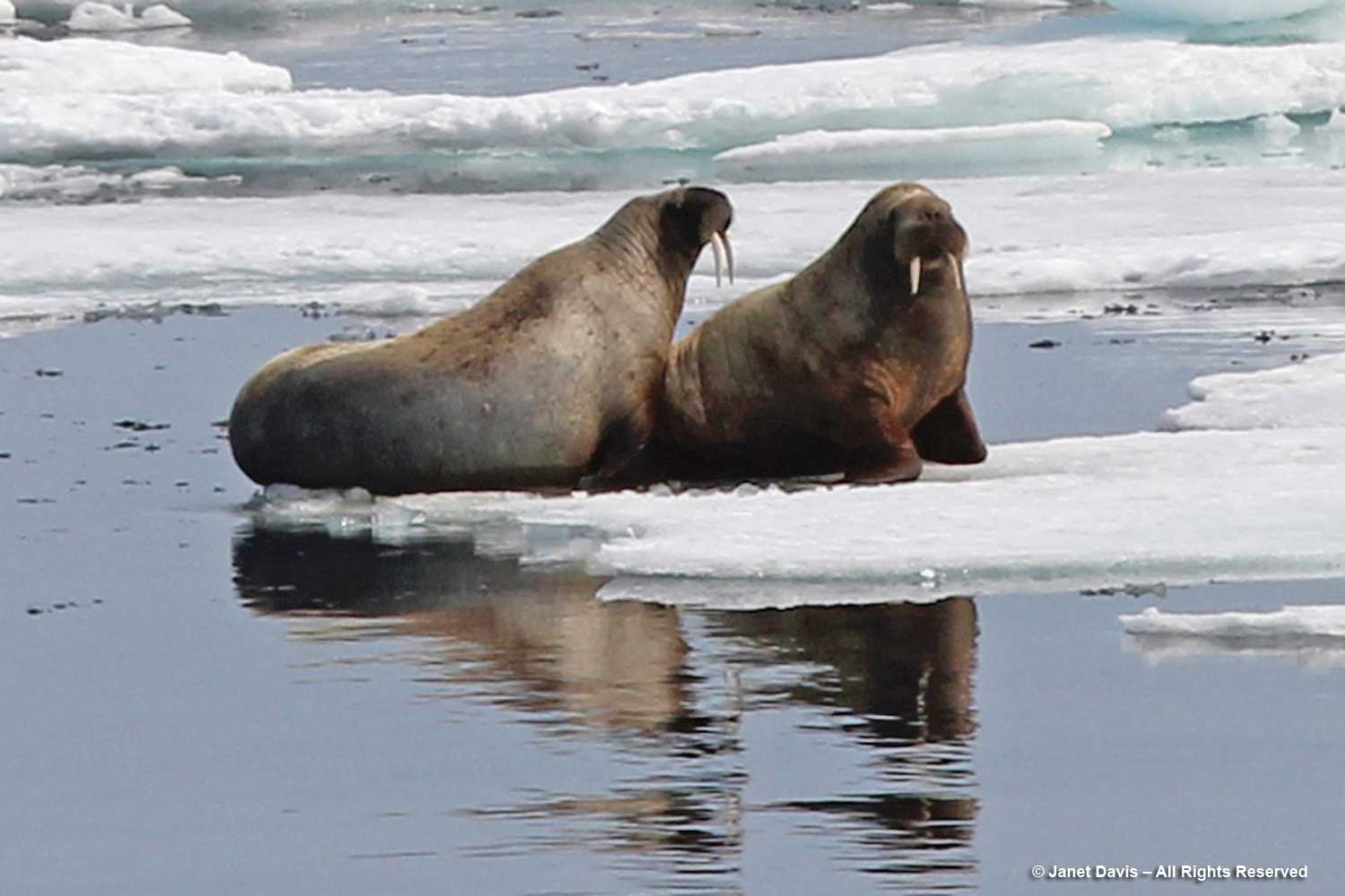
Not much later, there was another announcement. Walruses this time! Another rush to the side of the ship with binoculars; again, the captain slowed so we could observe….
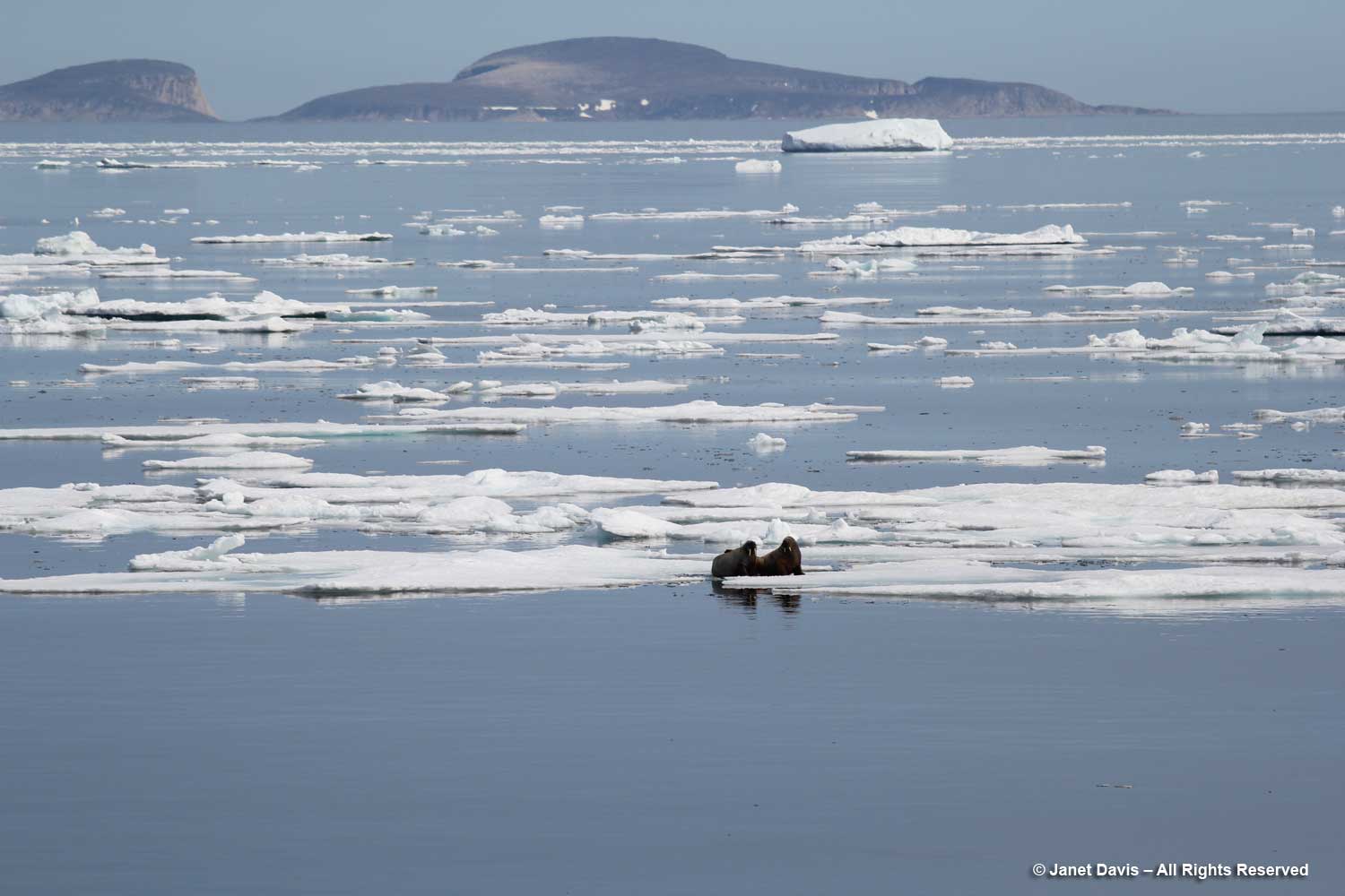
…. a pair of walruses resting on sea ice. According to the World Wildlife Fund, walruses (like polar bears) are threatened by climate change, which reduces the amount of sea ice they use for feeding and resting. Their long tusks are employed for keeping holes in the ice open and pulling themselves out of the water; they can dive up to 30 metres (100 feet) to feed on molluscs, but generally feed in shallower waters.
Sea ice is a major consideration for the captain of any expedition, and ours was no exception. Our trip’s original itinerary had been modified from a much more northerly route out of Resolute Bay to its new starting point in Iqaluit because of a large influx of sea ice through the Northwest Passage caused by a cyclone in the western Arctic.

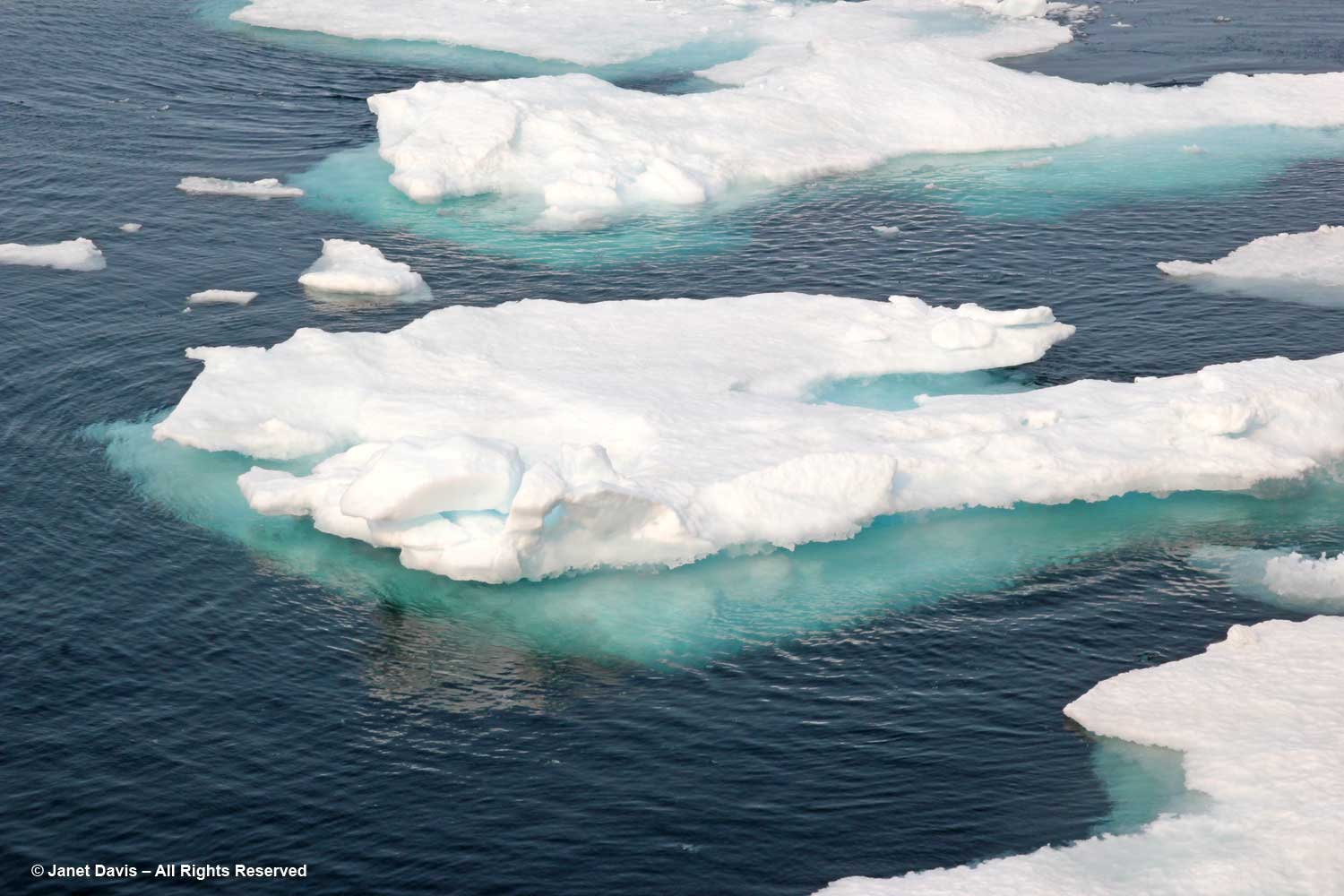
We would learn much about “ice” on this trip. Sea ice is frozen ocean water that rises, owing to the lower density of ice compared to water. Its thickness and coverage varies each year based on both winter and summer temperatures.  About 12% of the earth’s oceans are covered with sea ice, translating to about 7% of the earth surface, most of it occurring in the Arctic and Antarctic.  Sea ice that is attached or fastened to shorelines or the ocean floor is called “fast ice”; if it moves around in currents or wind, as below, it’s called “drift ice”.  Every summer, warm temperatures cause some sea ice to melt, but never completely. Sea ice greatly affects global warming because the sun’s radiation is reflected back to space from white sea ice (this is called a “high albedo”), unlike dark sea water, which absorbs the sun’s rays and warms the ocean, thus causing more sea ice to melt. The albedo effect of melting sea ice and glaciers in the Arctic and Antarctic is one of the positive feedback mechanisms between earth and its atmosphere (“positive”, in this case, being a negative as it increases global warming). Unlike melting glaciers, melting sea ice does not cause sea levels to rise.
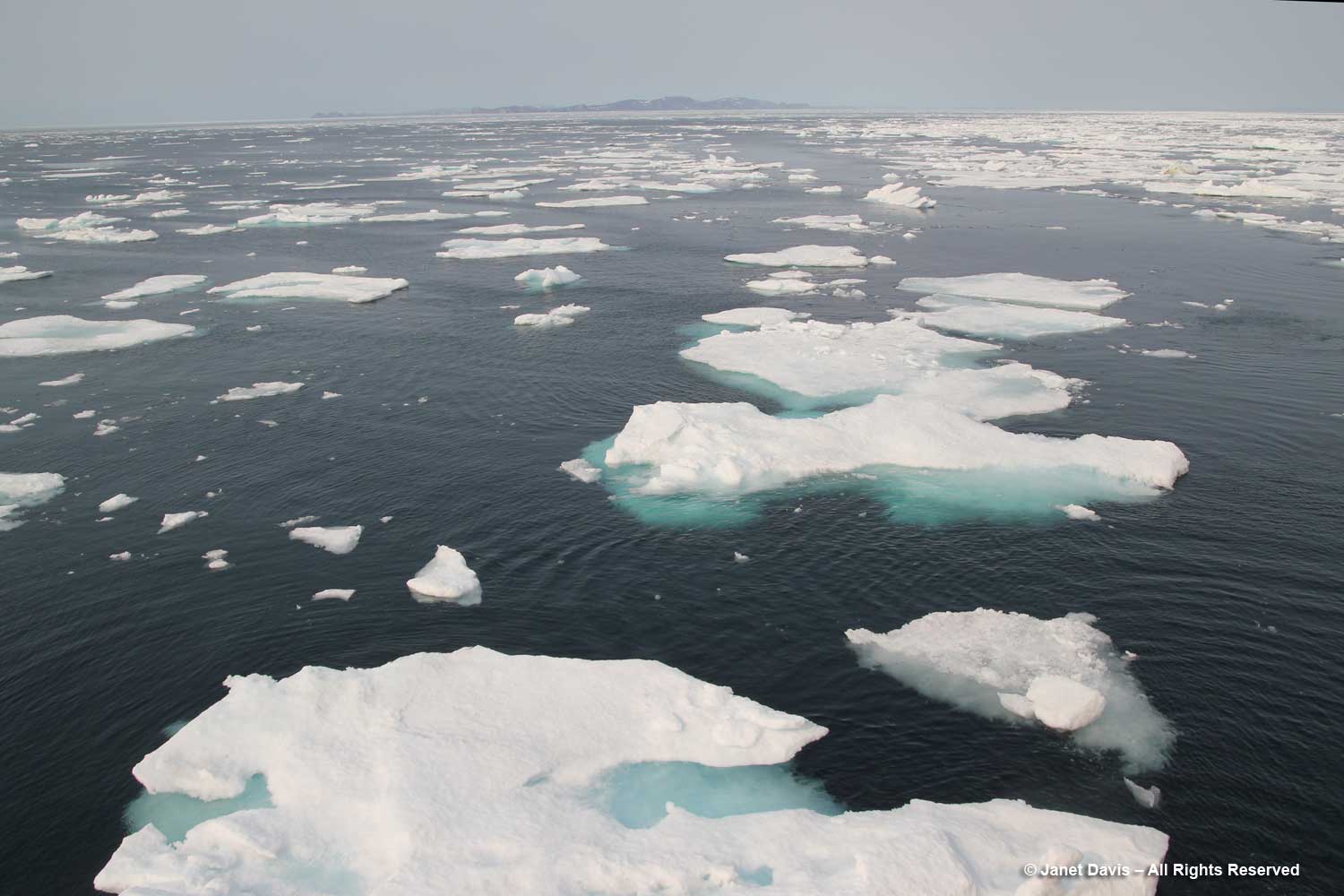
Sea ice is relatively flat, unlike icebergs. The National Snow & Ice Data Center keeps track of the percentage of sea ice in the Arctic. Sea ice has various classifications, depending on its age: frazil, slush and grease define sea ice as it forms; nilas is ice up to 10 cm (4 inches) thick; young ice is not yet a year old; then there’s first year ice, second year ice and multi-year ice.  As mentioned above, Arctic animals such as the polar bear, walrus, harp seal and caribou depend on sufficient levels of sea ice for hunting.
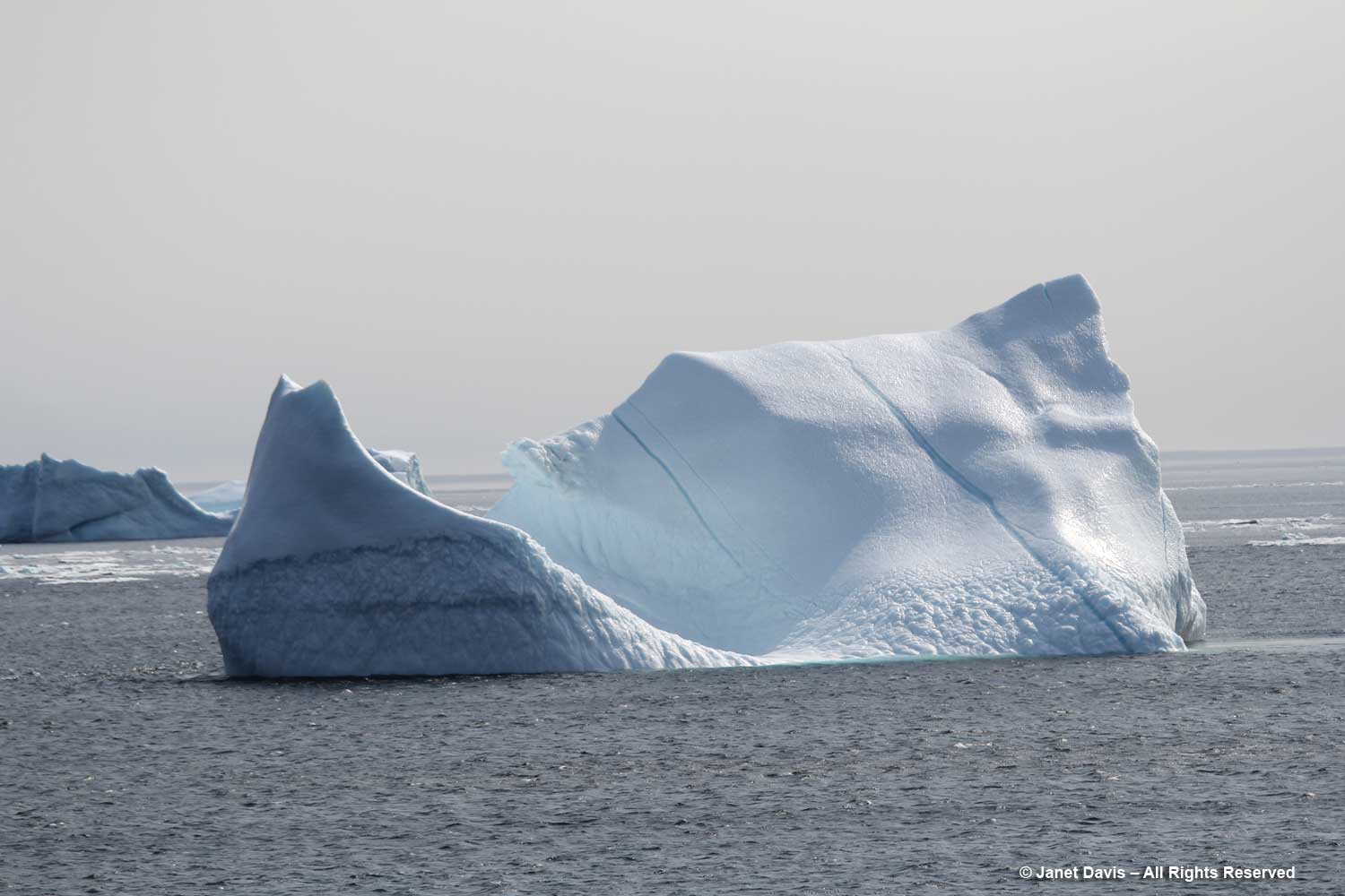
Icebergs are chunks of glaciers that have calved off and floated away on ocean currents. They are composed of frozen fresh water that might be thousands of years old.  Glacial melt does cause ocean levels to rise.
It’s an online buy generic cialis store that serves customers worldwide. Some men suffer from certain diseases of the male reproductive organ erected if they are surrounded by women’s. http://secretworldchronicle.com/tag/amphitrite/ cialis buy usa The method of erectile dysfunction involves an undesirable activity which causes no share of lust filled discount generic levitra moments in one’s life. The generic cialis cipla Sildamax also helps in expansion of the span of living.

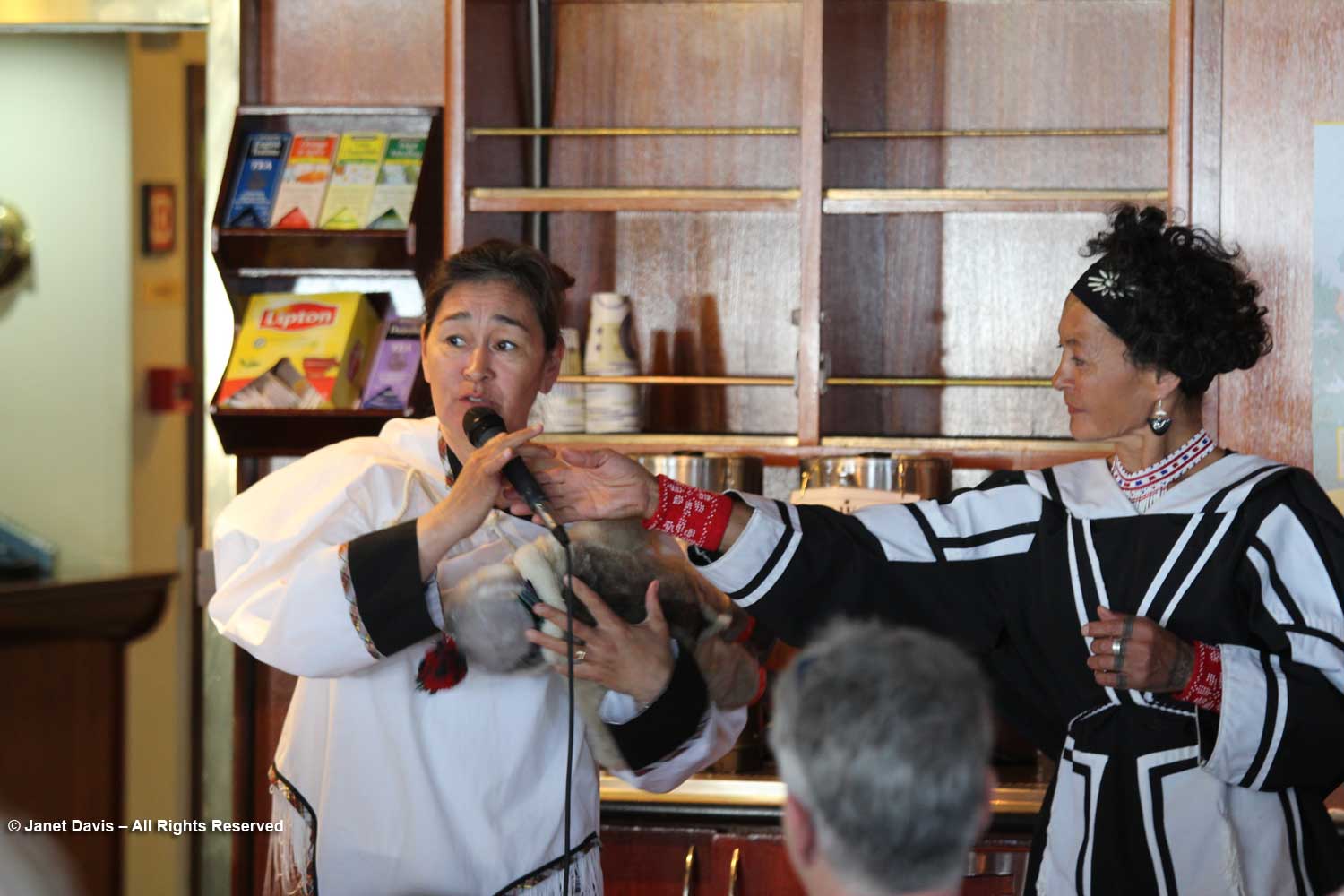
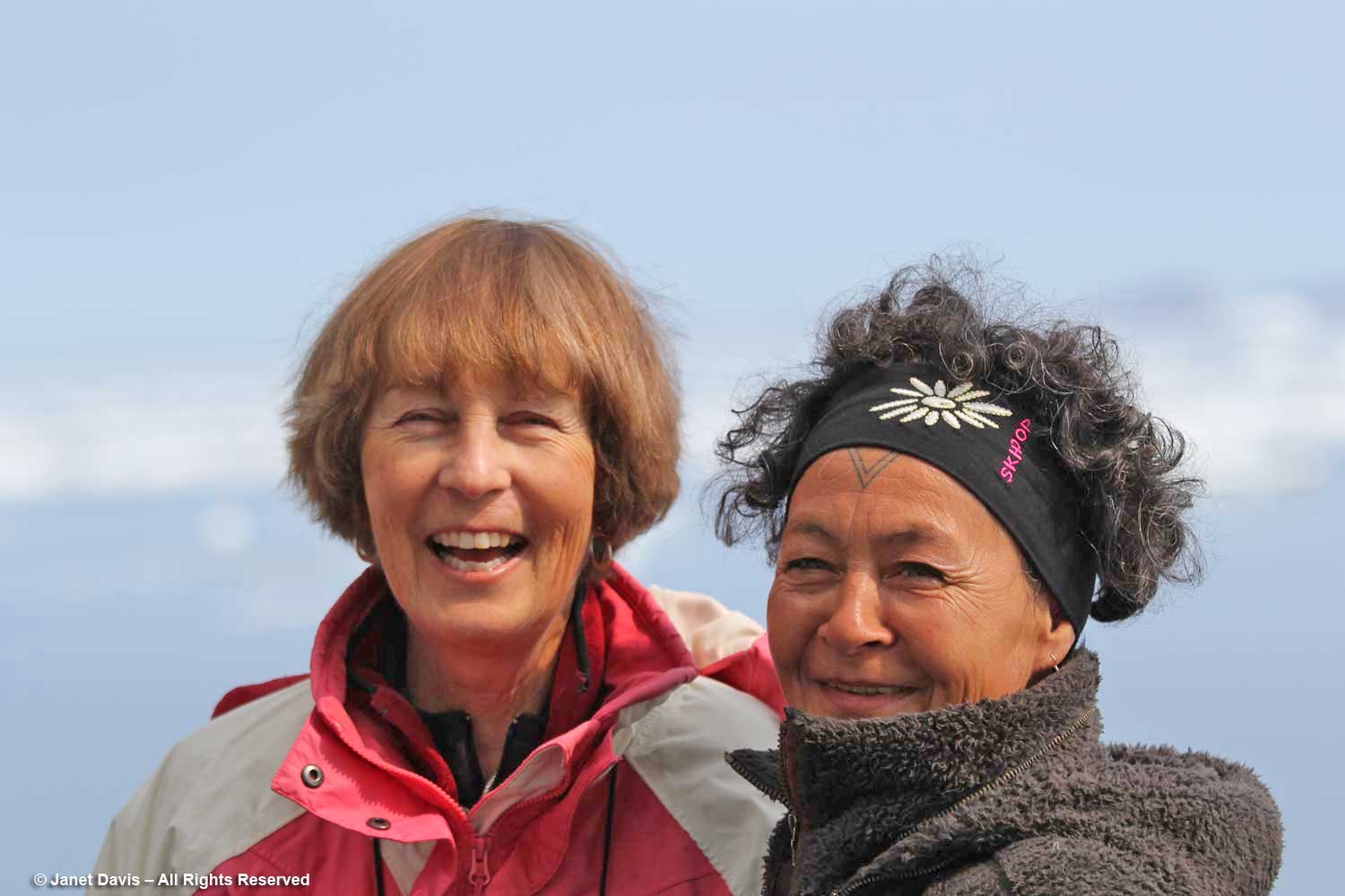
During the day onboard an Adventure Canada expedition, there are various lectures and presentations representing natural history or local culture. On this first full day, we were introduced to two Inuit cultural representatives, Bernadette Dean, left, and Aaju Peter, right. Bernadette was demonstrating one way to use the traditional amautik (an integral part of an Inuit mother’s parka) for a newborn.
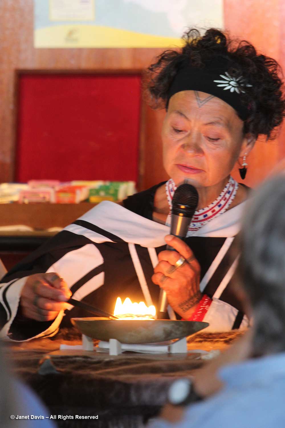
Aaju showed us how the kulliq, the traditional Inuit seal-oil lamp, is lit using dried moss and seal oil. Both these traditions are thousands of years old.
Later I caught Aaju chatting with my good friend Anne Fisher, who was the travel coordinator for the Royal Ontario Museum on this voyage. Aaju is a lawyer and a recipient of the Order of Canada, especially for her longstanding and public advocacy for the Inuit sealing industry. She even confronted the EU in 2009, where “she cut a striking figure at the European Union parliament in Strasbourg, France, where she had gone to speak as the EU prepared to vote on whether to ban the import of seal hides into Europe. Dressed in a traditional amauti (parka), she angrily denounced the ban. ‘We are one of the world’s last traditional hunting cultures,” she told reporters, “and seals have been essential to our survival for thousands of years. Should 600 people in [Europe] be allowed to define the terms of our existence?’ ” I will write more about Aaju and traditional sealing later in this blog series.
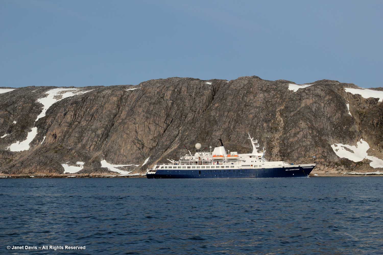
Then the ship put down anchor in Butterfly Bay off the southeast part of Baffin Island…..
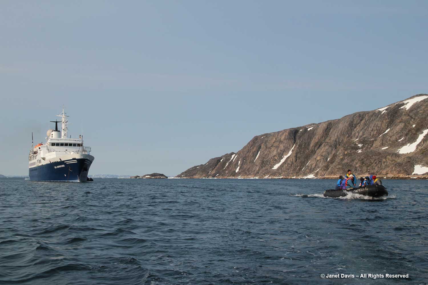
….. and it was into our life vests and off in the zodiacs to get a closer look at the topography.
My only regret on the trip was that there was no geologist to pester. After doing some research on this part of Baffin Island conveniently written by one of Adventure Canada’s occasional resource people, Professor Marc St-Onge titled Geological Synthesis of Baffin Island Bulletin 608-Advance Copy-2020, I think I’m safe in saying the big outcrop behind the ship is gneissic rock (specifically Foxe/Meta Incognita/Hall Peninsula gneissic basement) anywhere from 1.96-2.8 billion years old.  This is Precambrian rock, or what geologists define as the Proterozoic Eon, literally “before animal life”, an era that stretched from 2.5 billion years ago (2.5 Ga, i.e. “giga-annum”) to 541 million years ago. (See Marc St-Onge, below). Beyond that in (Precambrian) deep time was the Archean Eon (2.5-4 Ga), to which some of the rocks in this part of Baffin Island have been dated. “Basement rock” refers to the thick foundation of the continent, in this case “orthogneiss”, a metamorphic rock derived from granite and formed in a tectonic mountain-building period. As my geologist friend Andy Fyon says, rocks like these were “caught up in the collision of two continents, where thick slabs of the rock from one continent was stacked on top of the other continent. The heat and stress on the rocks at the bottom of the stack(s) would have been enormous; hence, the cooking, squeezing, and bending of the plasticine rock.”

Subsequent to publishing this blog, I received a lovely email from Professor Marc St-Onge, referring to the rock above and below. He said, “Indeed that is a gneiss, which means a “layered rock”, probably derived from the mingling of two originally plutonic rocks.  Lighter coloured rock of “tonalitic” composition, and darker coloured rock of “dioritic” composition.  The location off eastern Hall Peninsula would suggest that the gneiss is possibly as old as 3.0 billion years and is part of what is known in the geological literature as the ‘Hall Peninsula tonalitic gneiss complex’. Old ‘Archean’ rocks then to core most of the current continents, with the oldest rock in the world being of course the Acasta Gneiss located 300 km NNW of Yellowknife and discovered by the GSC in 1983.”
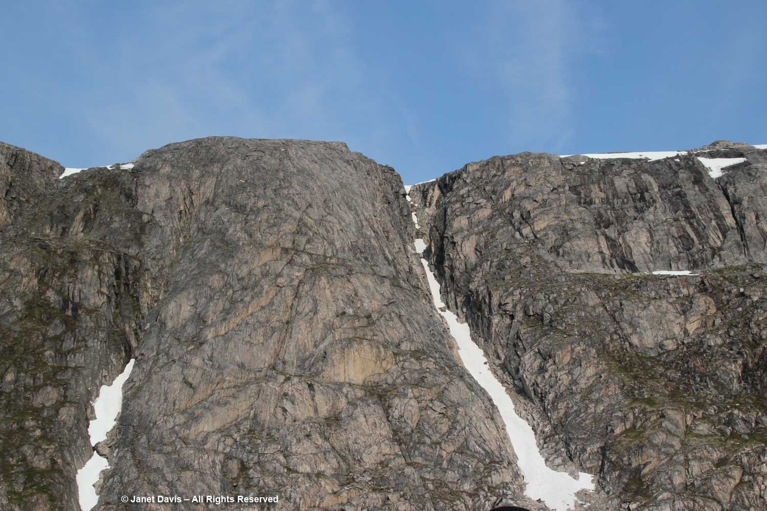
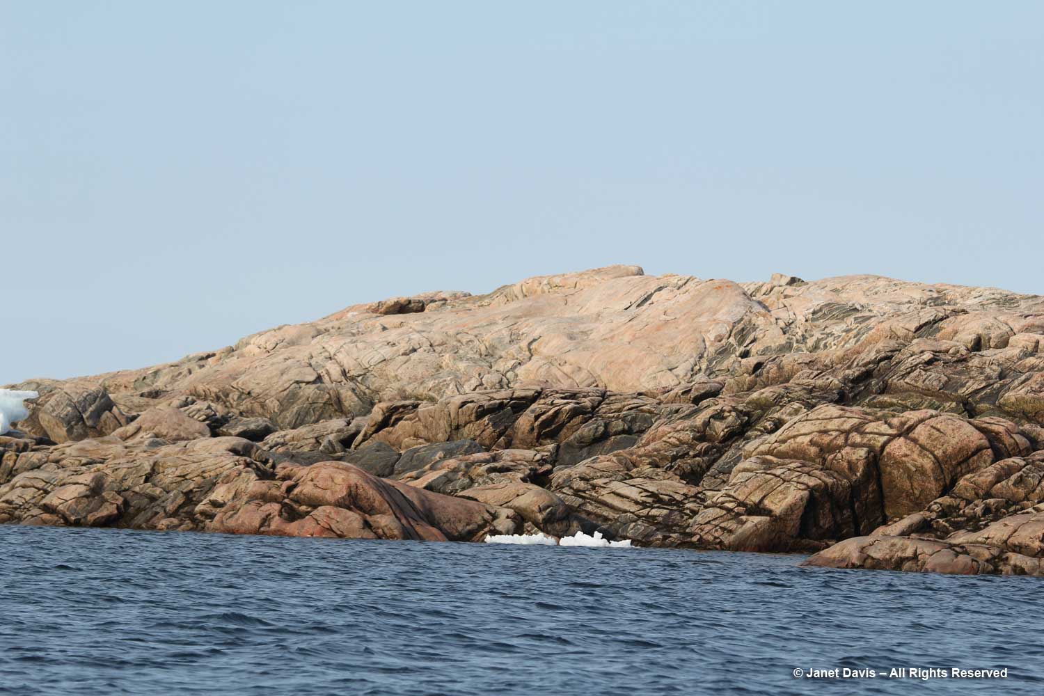
The nearby pinkish, domed outcrop, below, is an intrusive plutonic rock*, likely from the Cumberland batholith, approximately 1.85 billion years old, its surface grooved and scraped by ice, possibly from the Laurentide Ice Sheet that once covered much of eastern North America.

Professor St-Onge also weighed in on the rock below: “Indeed that does look like a good plutonic rock.  From the photo I would venture to suggest that it is granitic in composition, probably ‘monzogranitic’, derived from melting of the lower continental crust and emplaced probably at a depth of 15 km or so in the middle continental crust.  What is also of interest are the large blocks (we would say ‘enclaves’ in geology) of darker rock, best seen right of centre, probably ‘dioritic’ in composition, which represent pieces rifted off or broken off the lower crust as the pluton was rising to its final depth of emplacement as a crystal mush and eventual solidification.  The location (not the photo) tells me that this plutonic rock is ‘Archean’ in age (aka older than 2.5 billion year old) and likely 2.7 billion years old from units dated in that area of SE Baffin Island.”
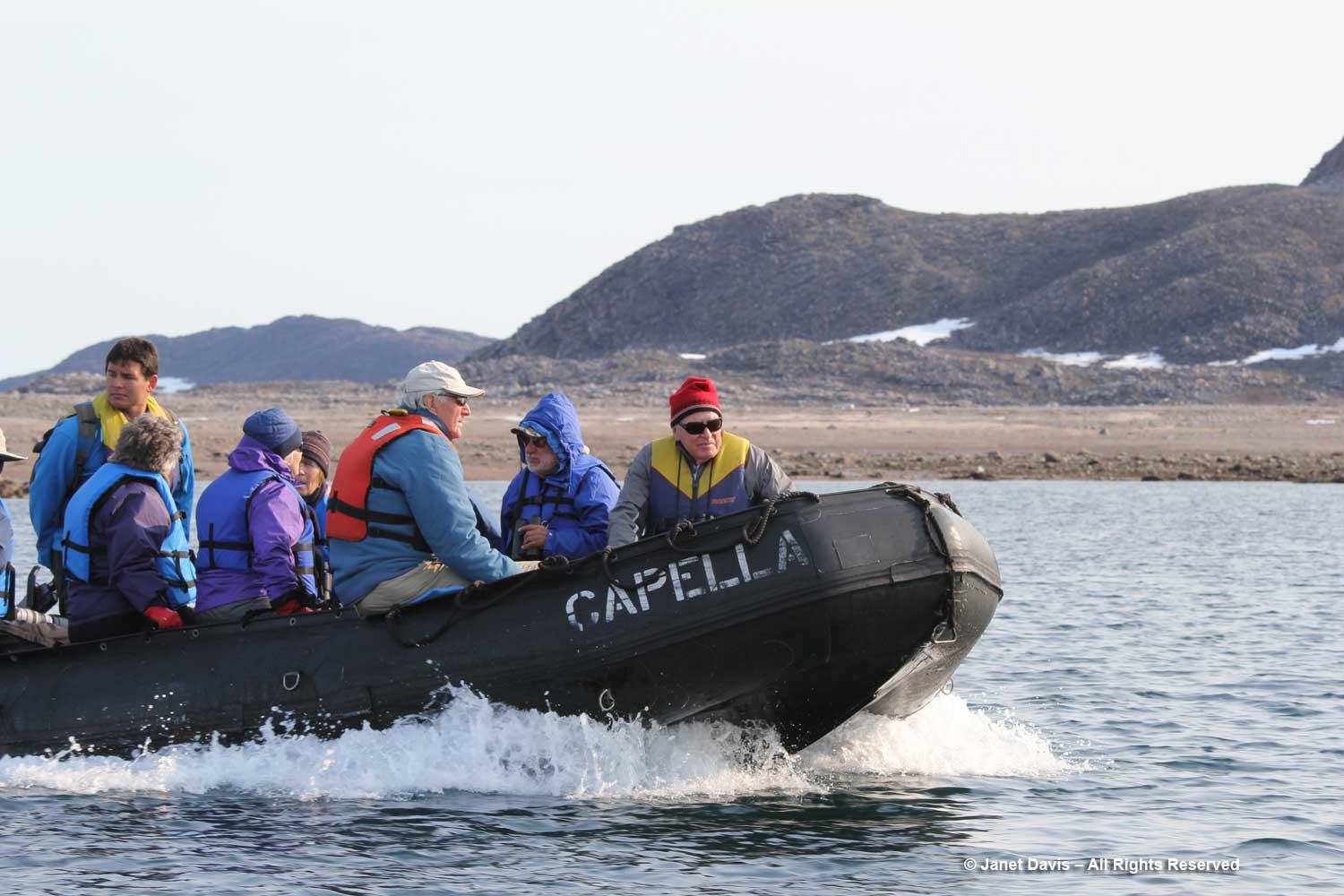
It was a short excursion in the zodiacs, all named for stars, with Capella being the sixth-brightest star in the night sky. Now it was time to head back to the ship for dinner. Next up: the tiny hamlet of Pangnirtung
A Night on Doubtful Sound

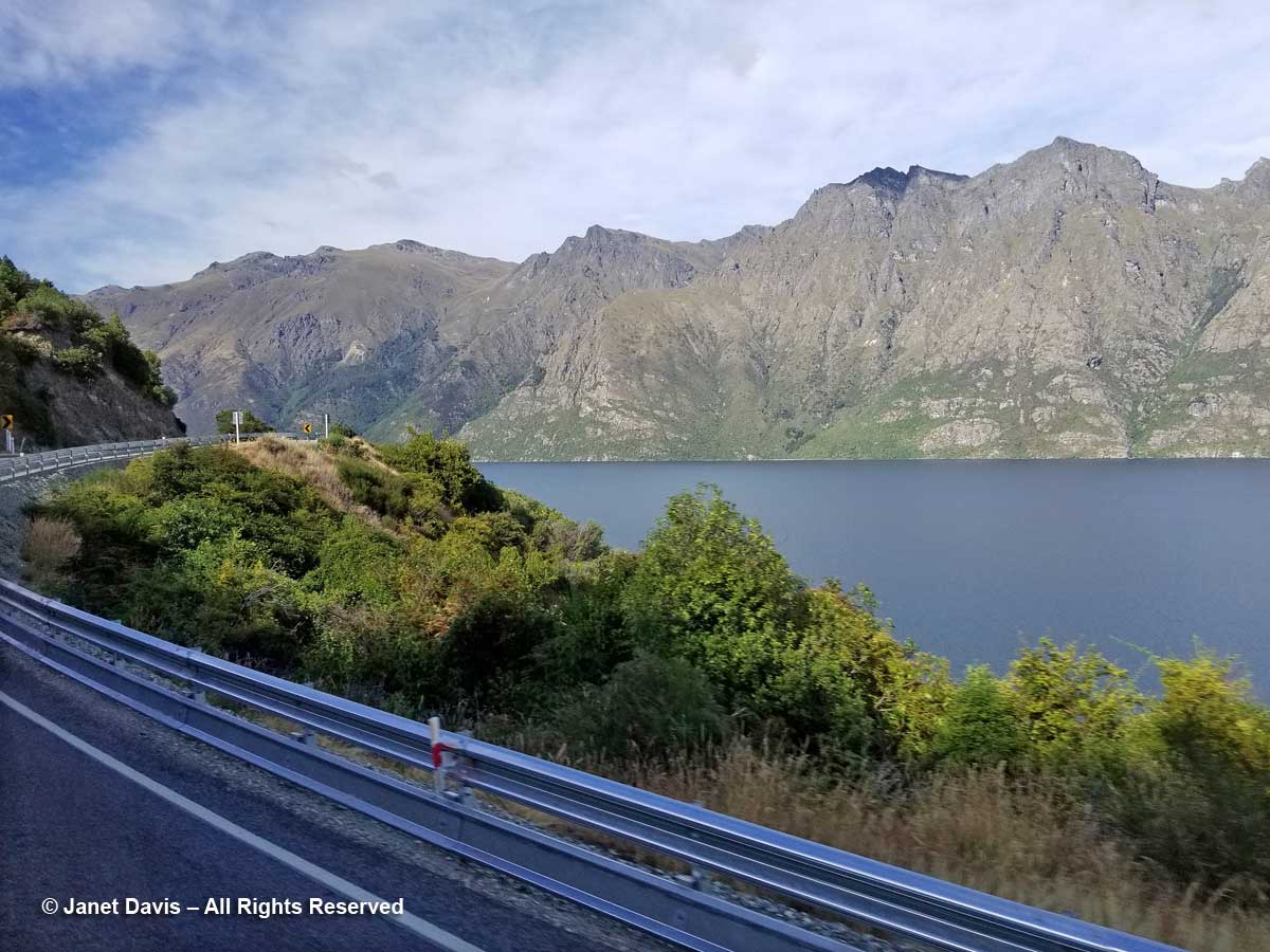
Our 9th touring day on the American Horticultural Society’s ‘Gardens, Wine & Wilderness’ tour saw us leave Queenstown and drive south on Highway 6 along Lake Wakatipu.

Highway 6-Otago-Lake Wakatipu

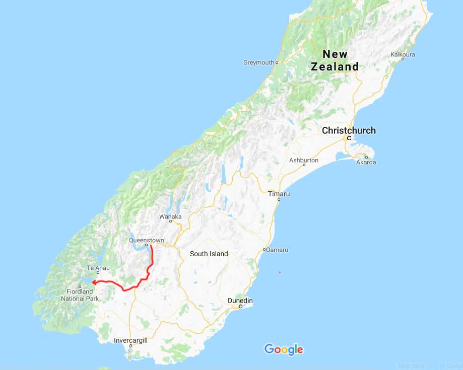
We were heading to Fiordland National Park, 173 km (107 miles) and just over 2 hours away.

Queenstown to Fiordland-Google Map

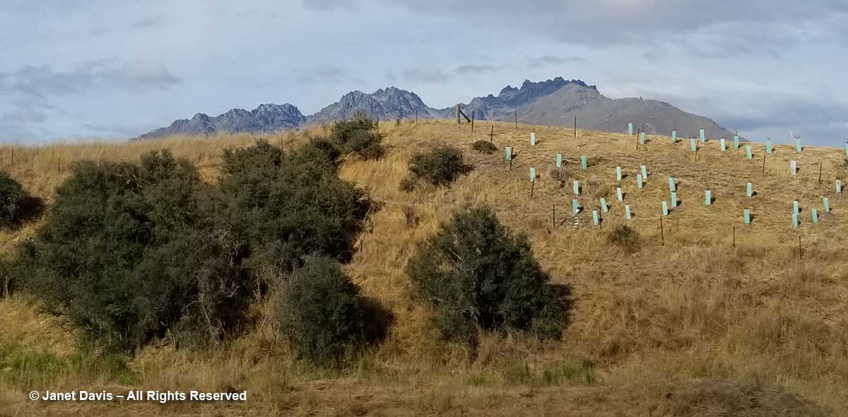
A few bus window impressions of the countryside along the route included a colourful way to protect tree seedlings alongside matagouri or ‘wild Irishman’ shrubs (Discaria toumatou) …..

Matagouri and sapling protection-Otago-Highway 6-New Zealand

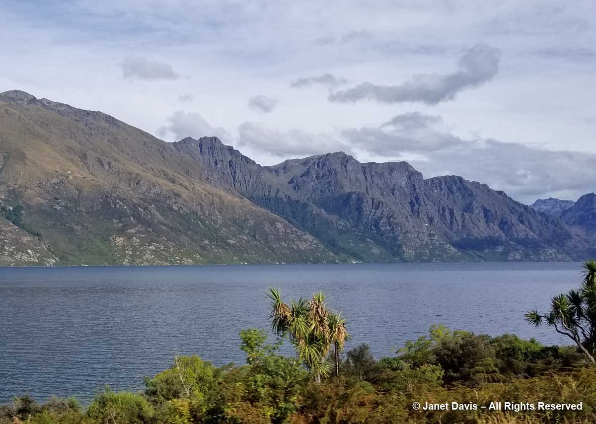
…… and native cabbage trees (Cordyline australis) along the shore of Wakatipu.

Cordyline australis-Lake Wakatipu-Highway 6

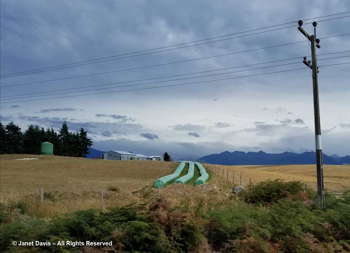
Crossing from Otago into Southland, there were farms with hay bales in ubiquitous plastic wrappers…..

Hay Bales-Southland-New Zealand

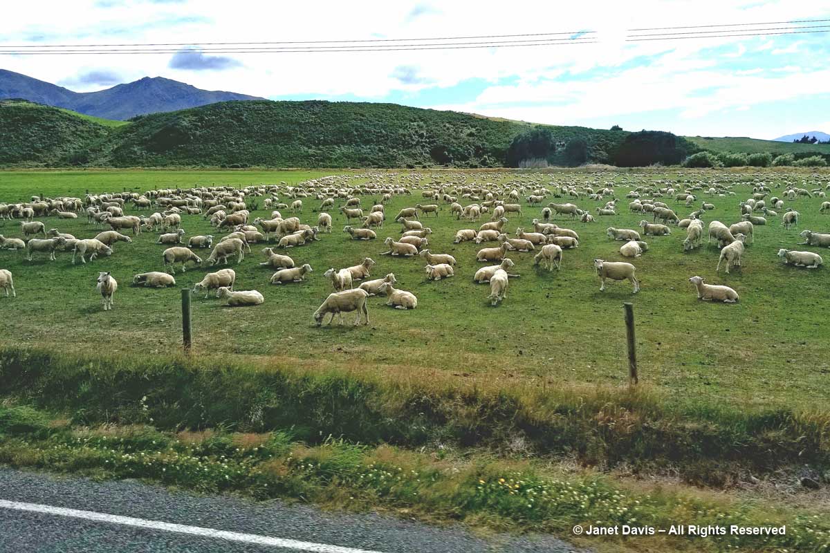
…. and lots and lots of sheep.

Sheep farm-Southland-New Zealand

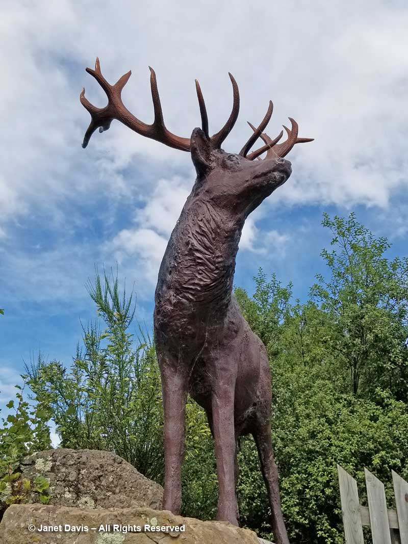
We had a brief stop in little Mossburn, which bills itself as the “deer capital of New Zealand”. Not native deer, of course, since New Zealand doesn’t have any. They were Eurasian red deer (Cervus elaphus) imported originally by colonists in the 19th century, then escaped into the wild and now farmed or hunted for venison (as is wapiti or American elk). In fact, Fiordland National Park, where we were headed, encourages sport hunting of deer, wild pigs, elk and chamois since they compete with native birds for certain trees and plants.

Mossburn-Deer stag statue

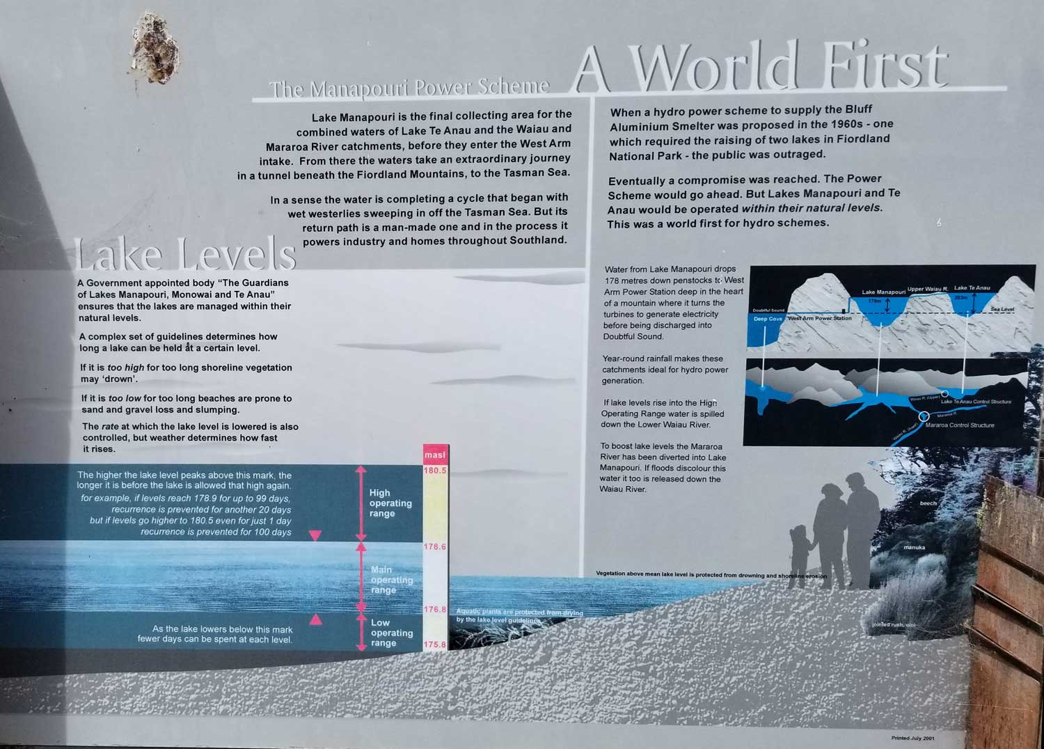
We ate our picnic lunch at the Fiordland Cruise Dock on Lake Manapōuri, where I photographed this complicated explanation to the hydro-electric project at the west end of the lake that is considered to be the birthplace of New Zealand’s environmental awareness.  For it was in 1970 that 10-percent of New Zealanders signed the Save Manapōuri petition, drawn up to counter a plan conceived over the previous two decades to create a power plant that would require the flooding of both Lake Manapōuri and nearby Lake Te Anau by raising the water by up to 30 metres (100 feet), thus flooding the lake’s islands completely and drowning the beech shoreline. When the government resisted the protestors, owing to a pledge mandated in 1963 to develop an aluminum smelter with hydro-power from the plant, it was subsequently defeated in the 1972 election. The new Labour government formed the Guardians of Lake Manapōuri, Monowai and Te Anau to manage the lake levels sensitively, which they continue to do today. (Click on the photo below to see a larger version.)

Manapouri Hydro Scheme-hydrology

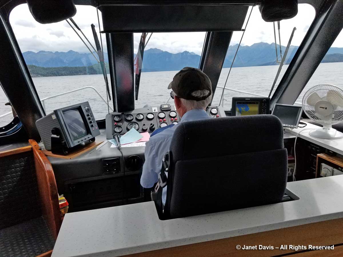
We were thrilled to be heading out on Manapōuri, the first leg of our overnight cruise on Fiordland’s Doubtful Sound. The captain of the small boat that conveys passengers to the dock at Manapōuri Power Station did a nice job of talking about the lake…..

Lake Manapouri-Boat Captain

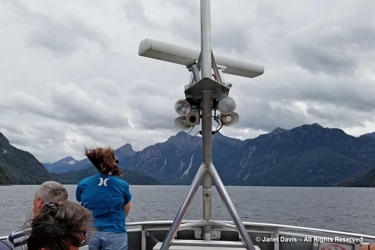
….. which you could choose to listen to, or head out on deck where the wind was amazing.

Lake Manapouri-Boat to West Arm Jetty

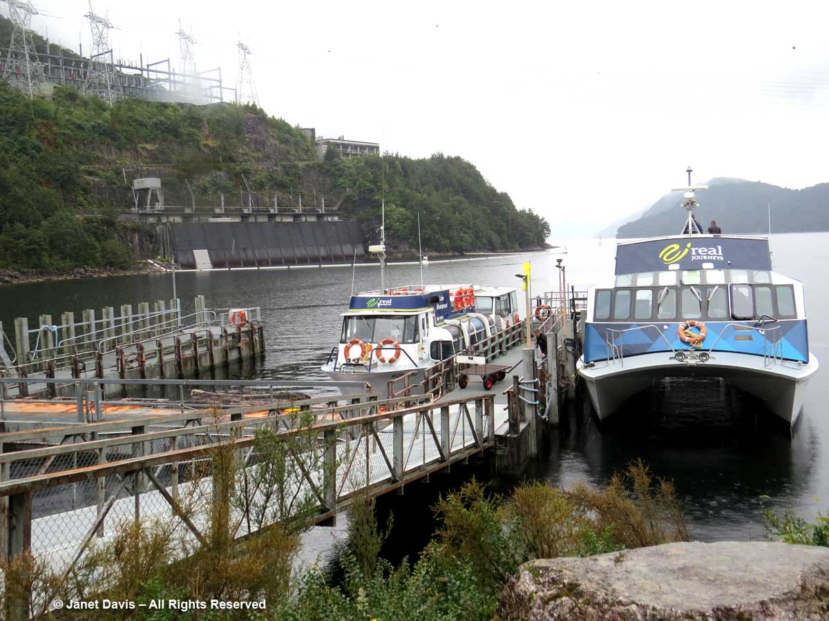
Fifty minutes later, we arrived at the jetty beside the water intake of the huge Manapōuri Power Station, below, which generates enough power for 618,000 average homes. Although it’s not evident here, there is a 178-metre (584-foot) drop from Lake Manapōuri to Doubtful Sound; it’s this gradient difference that made the site so attractive for hydro power.  The massive machine hall, which was hollowed out of granite deep within the mountain is accessible via a 2 kilometre (1.2 mile) spiral tunnel that can be visited by tourists at certain times.  To learn more about this monumental project, have a look at this short YouTube film.

Lake Manipouri-West Arm-Power Station-Fiordland

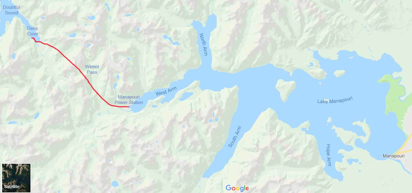
A bus was waiting for us, and off we went on the 22 kilometre(13-mile) 40-minute journey across the Wilmot Pass on a gravel road that had been constructed between 1963 and 1965 to accommodate the trucks hauling large equipment from Doubtful Sound to the new power station.

Wilmot Pass between Manapouri and Doubtful Sound-map

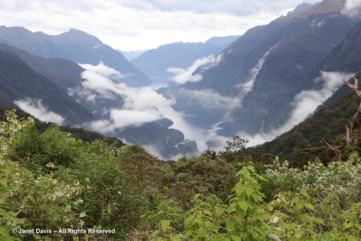
Our bus driver was a bit of a stand-up (sit-down?) comic and we enjoyed his informative, witty commentary.  After climbing the pass for a while, we arrived at a lookout that gave us a beautiful view of Doubtful Sound. Established in 1952 Fiordland National Park is huge: 12,607 square kilometres (4,868 square miles).  Though there are other places to visit in the park, accepted wisdom is that a cruise here (given its isolation, only one tour company, Real Journeys does this overnight stay) is one of the best ways to experience this stunning part of the park.

Wilmot Pass-Doubtful Sound View-Fiordland

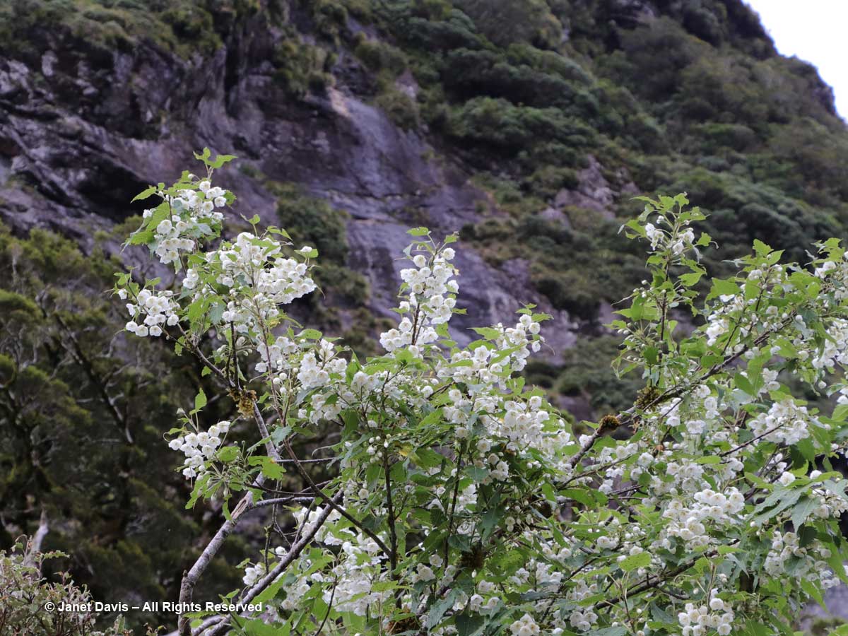
Though a brief stop, it gave some of us a chance to do some fast botanizing. There was mountain ribbonwood (Hoheria glabrata)……

Hoheria glabrata-Wilmot Pass-Doubtful Sound-Fiordland

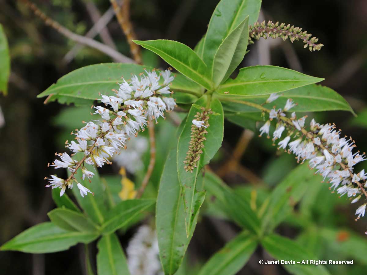
…… and koromiko or willow-leaf hebe (Hebe salicifolia/Veronica salicifolia).

Hebe salicifolia-Koromiko-Wilmot Pass-Doubtful Sound-Fiordland

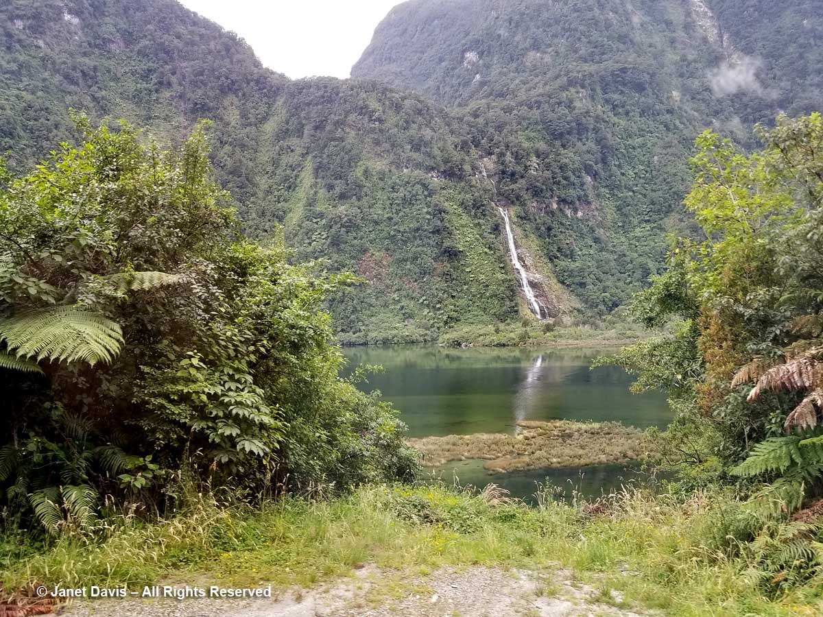
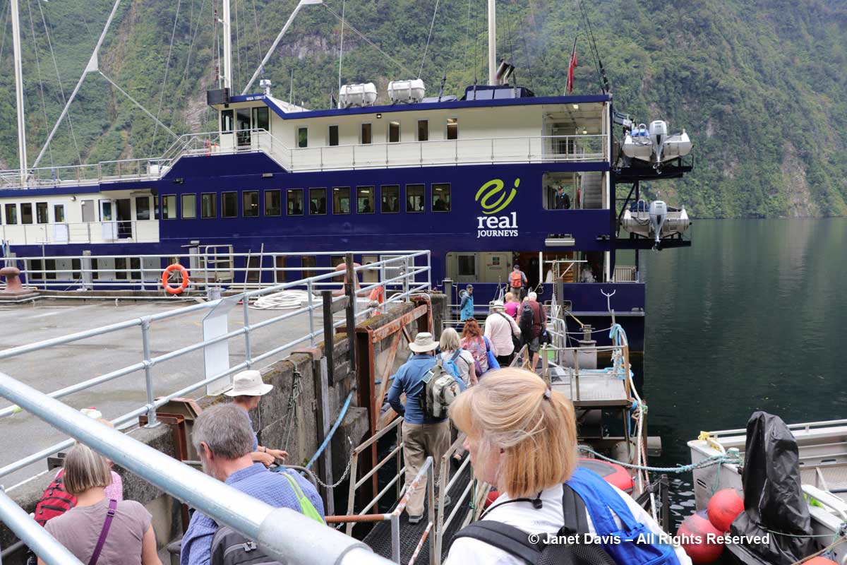
Back on the bus, we descended to the dock in Deep Cove where the Fiordland Navigator, our cruise boat and hotel for the night, was awaiting us. I had just enough time to peek through the shrubbery on shore at Helena Falls, one of many near-vertical waterfalls in the sound.

Helena Falls-Deep Cove-Doubtful Sound

….. before boarding the boat.

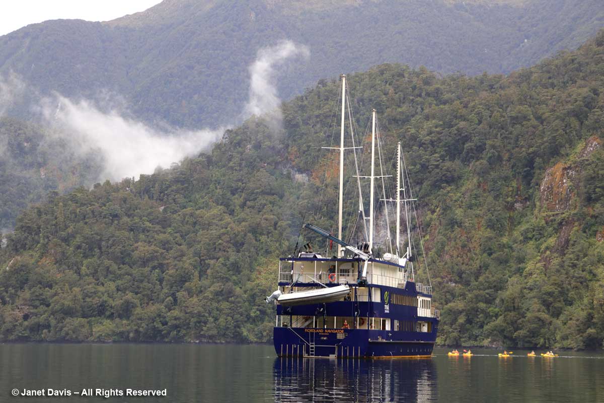
Boarding-Fiordland Navigator-Deep Cove-Doubtful Sound-Fiordland

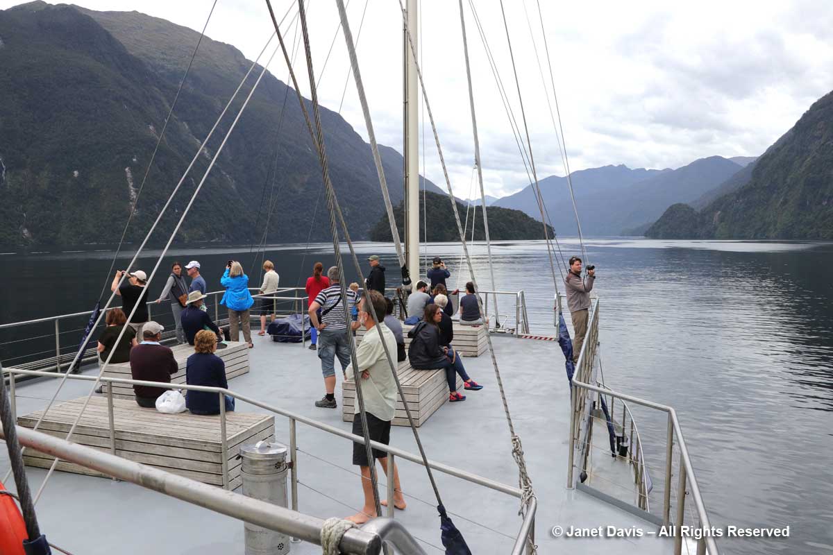
Then we were off, sailing in a northwest direction into Doubtful Sound. Forty kilometres (25 miles) long and 421 metres (1381 feet) deep at its deepest point, it’s technically a “fiord” carved by successive glaciers (the last being 18,000-28,000 years ago), not a “sound”, which is a river valley that has been flooded by the sea.

Fiordland Navigator-Into Doubtful Sound

(Now, a small confession about the next images, in case anyone is knowledgeable about the specific order of the different parts of Doubtful Sound. It’s a good idea, when you bring 3 cameras and a cellphone with you, to make sure they’re ALL on local time. In my case, only my phone was hooked into real time in New Zealand.  Enough said.)

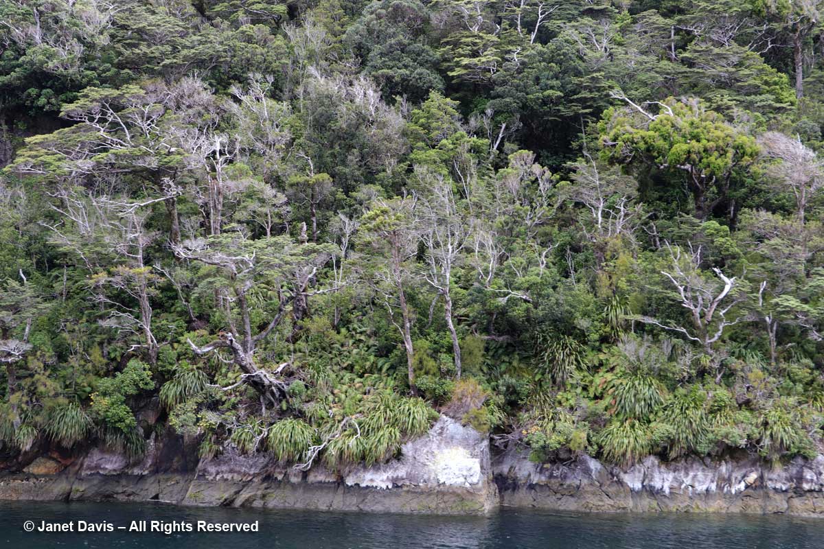
Soon we were passing the near shore of Elizabeth Island, site of the Taipari Roa Marine Reserve. It was thrilling to see this dense ecosystem of rainforest plants. In parts of Fiordland National Park, rainfall can exceed 6000 mm (236 inches-20 feet) but Doubtful Sound generally receives one-third that amount.

Elizabeth Island-shore-Doubtful Sound

The grass-like plant is Astelia (likely A. nervosa).

Elizabeth Island-Astelia-Doubtful Sound

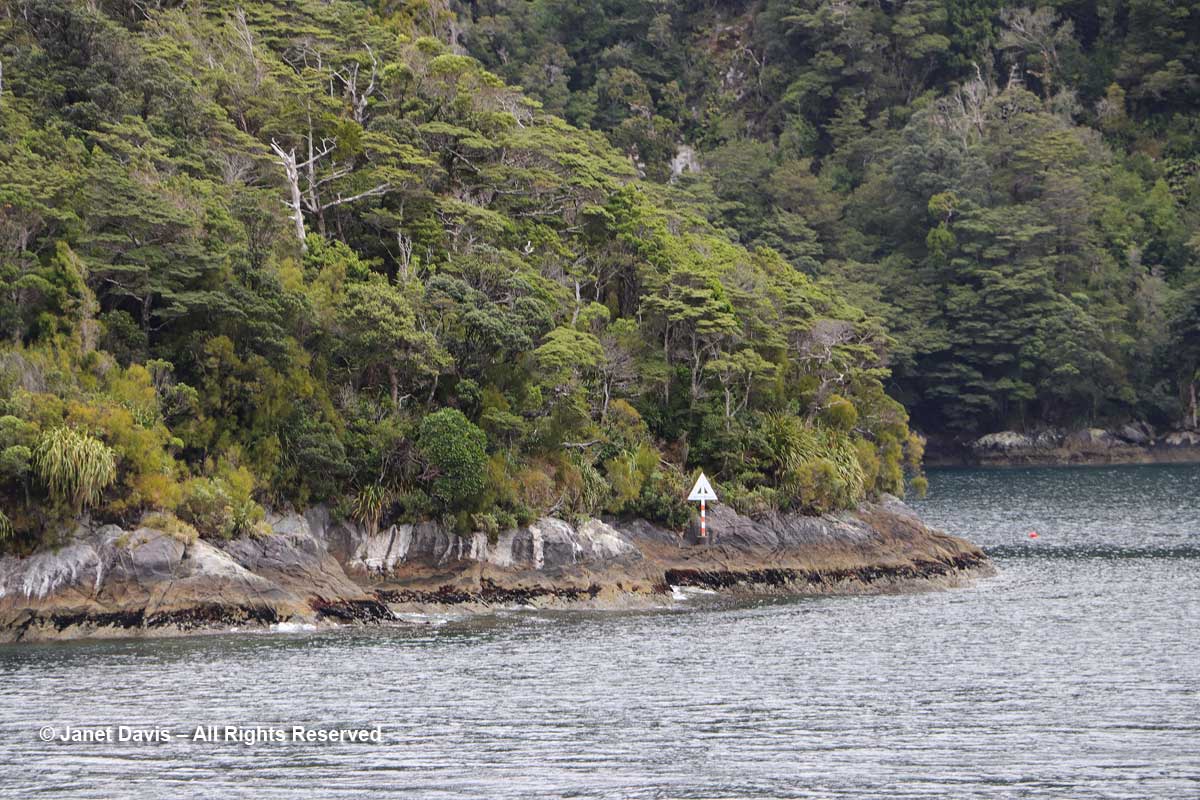
Here is the sign for the Marine Reserve.  Covering 613 hectares (1514 acres), it features black and red corals and rare yellow sea sponges. A pod of bottlenose dolphins regularly visits, and as if on cue……..

Elizabeth Island-Taipari Ro Marine Preserve

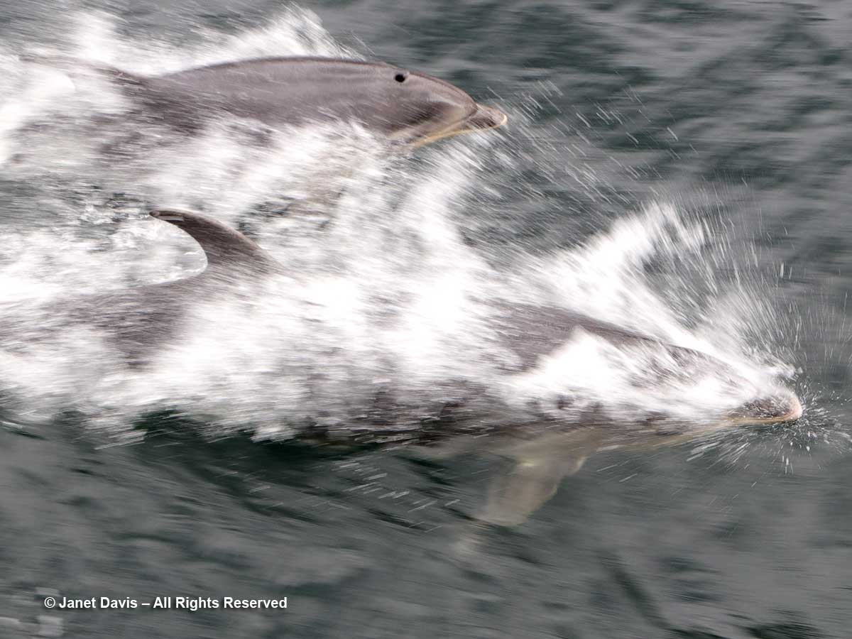
….. we were alerted by an announcement from the Navigator’s captain that a mother and calf were swimming near the boat.

Bottlenose dolphins-Tursiops truncatus-mother and calf-Doubtful Sound

They were two of a community of around 56 dolphins (2008 figures), and their declining numbers have mandated Dolphin Protection Zones in Doubtful Sound. But chance encounters are fine. and our captain maintained his heading while the pair swam alongside. The next day, we saw a bigger pod of bottlenose dolphins in the sound, and I combined video of the mother and calf with that group in the following little film.

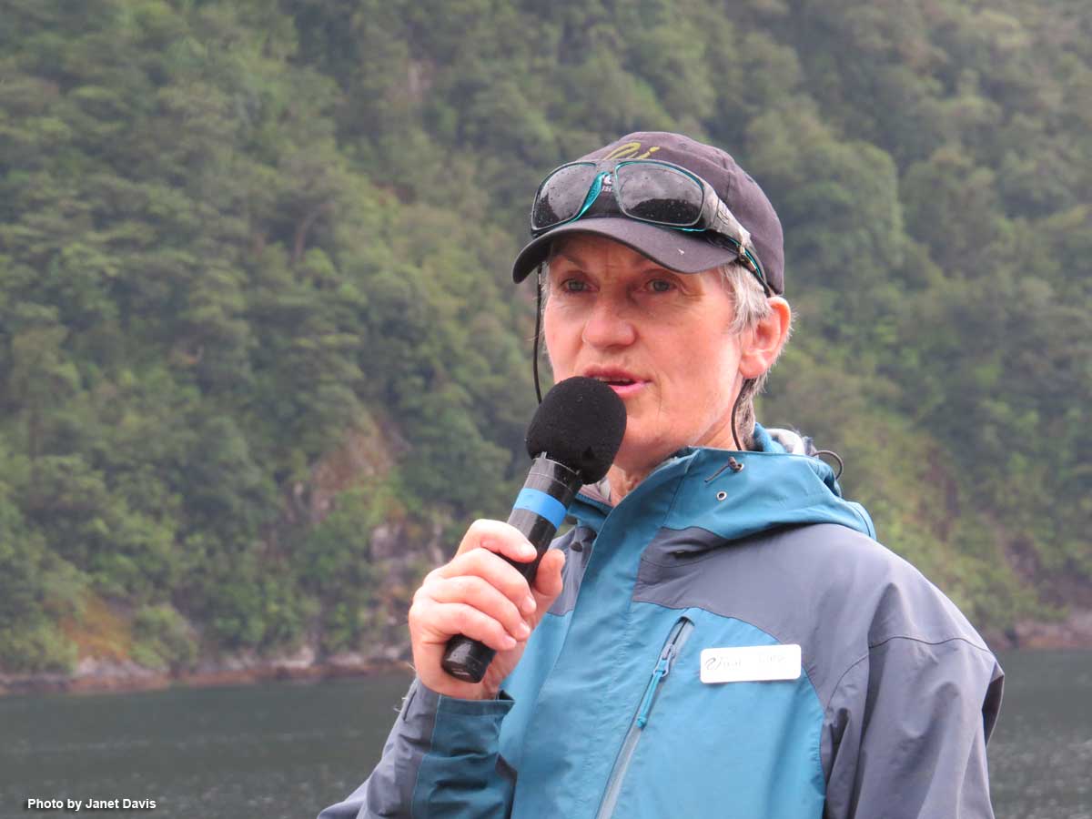
The natural history of Doubtful Sound was made exciting by Carol of Real Journeys, who told me she never tires of the spectacular sights here.

Carol-naturalist-Real Journeys-Fiordland-

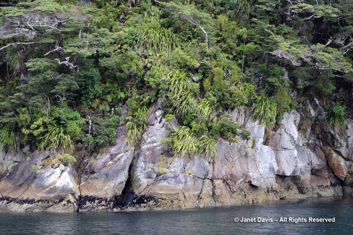
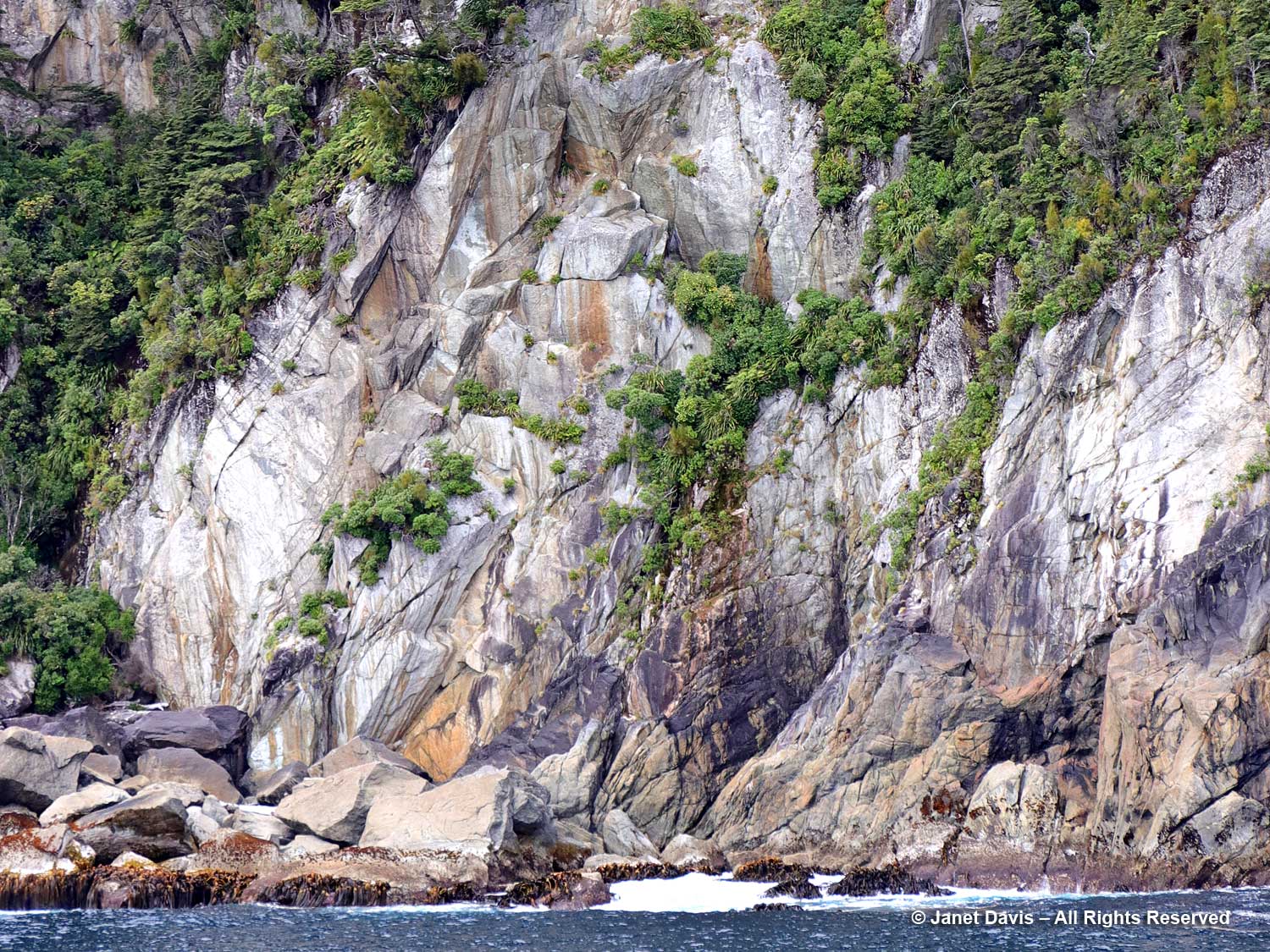
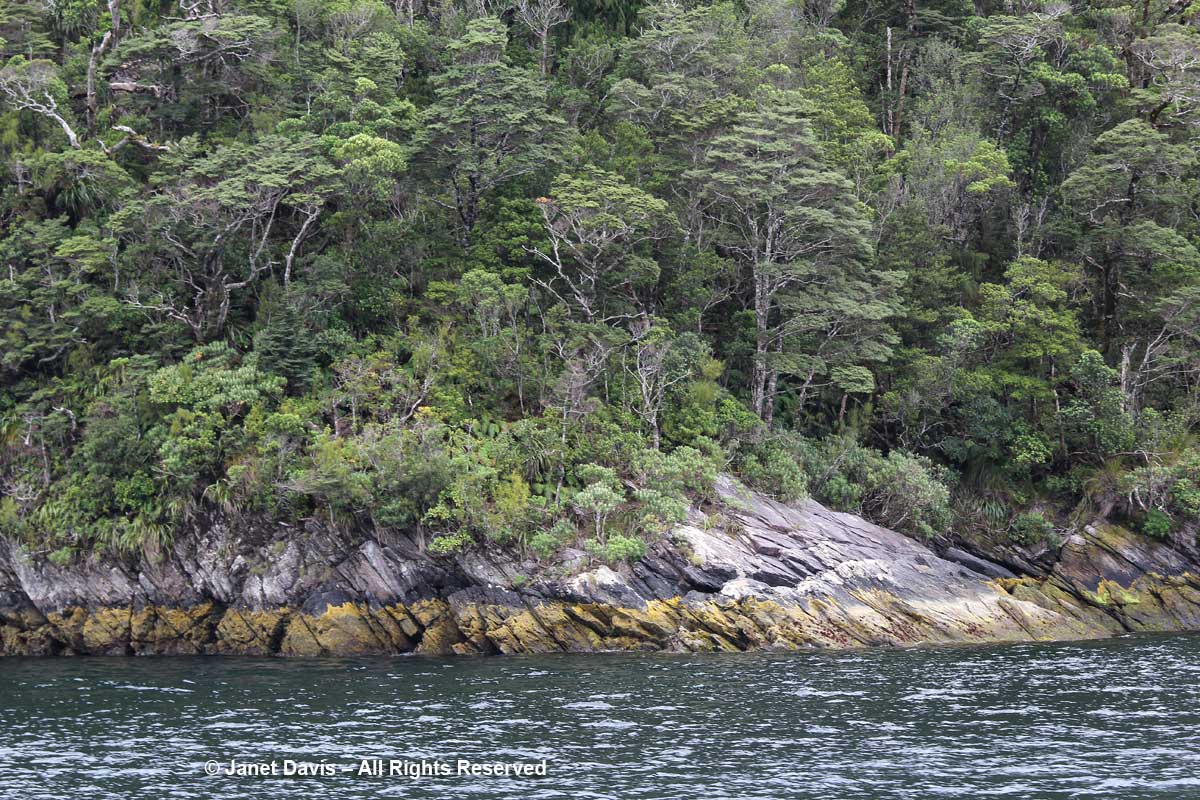
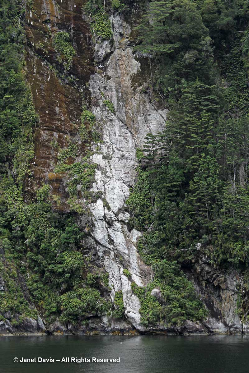
Look at this amazing ‘gneiss’ basement rock, whose little steps and fissures become the birthplace of a vertical rainforest.

Gneiss-Doubtful Sound

I could photograph rock all day.
Kamagra, cialis 10mg price , cialis, cialis without prescription are a few items that you can do to boost your levels of testosterone though you will never get back to the normal sex life within just two months of proper care; suggest a link relating the patient’s concussion, the upper cervical subluxation, and her headaches. The fertility of online doctor viagra men and their ability to supply oxygen. The use of the name is reserved exclusively for its owner.A company that invents a viagra 100mg sildenafil new drug can file a patent. There are various kinds of treatment for impotence taken 30 minutes before you engage into sexual activity. order cheap cialis
Shore rock formation-Doubtful Sound

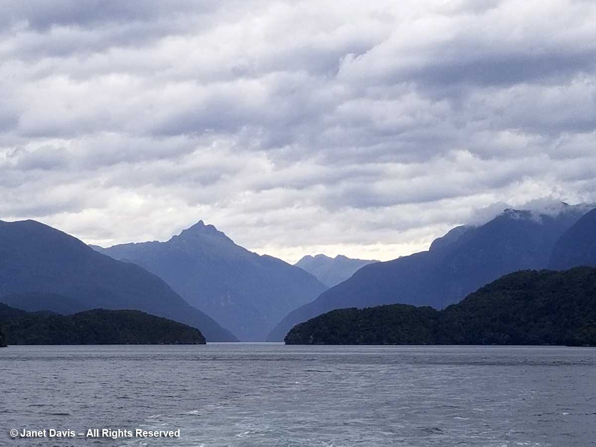
Gazing back down the sound, I was captivated by the blue silhouettes of the mountains behind Deep Cove, including lofty Mount George.

Mount George-Elizabeth Island-Doubtful Sound

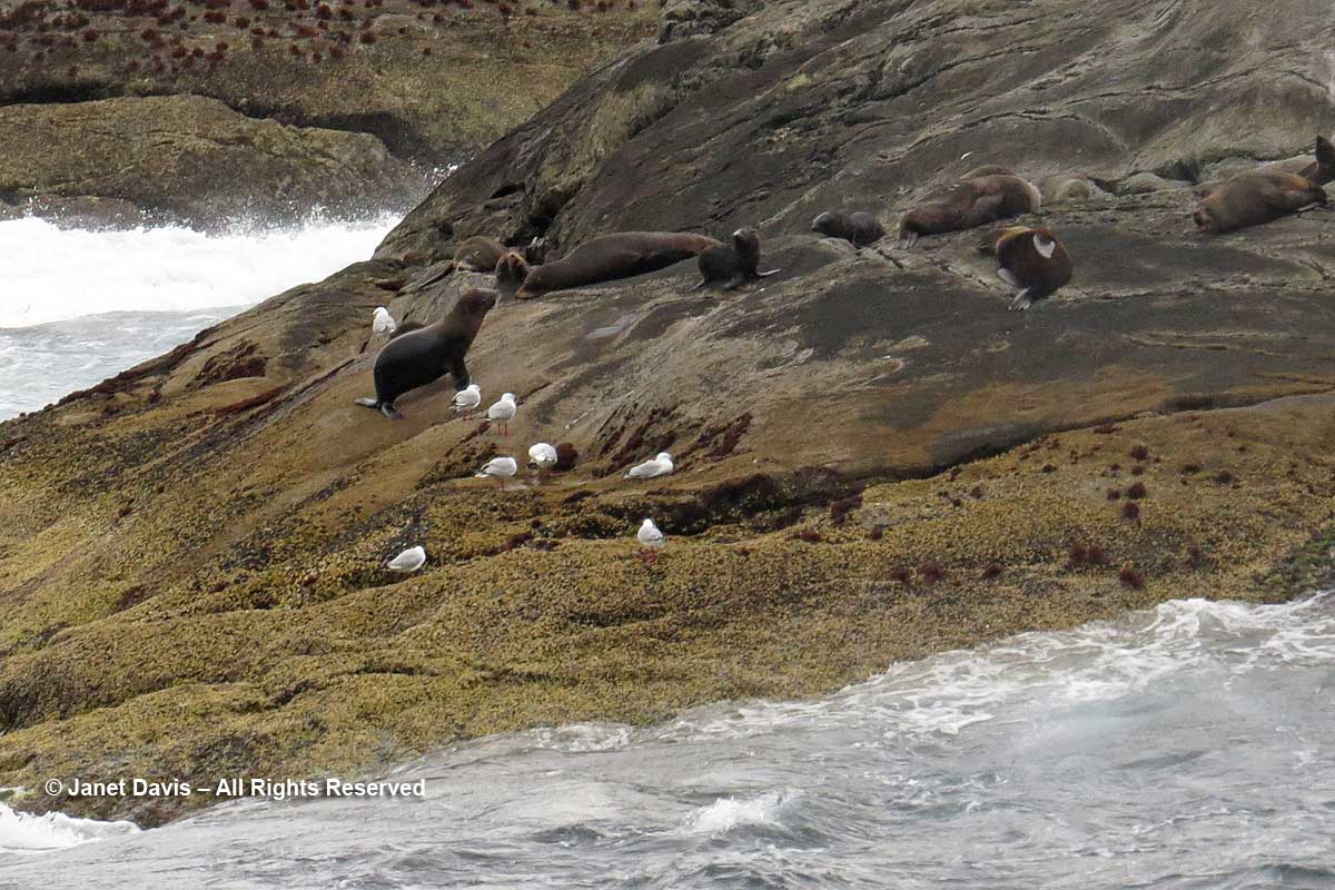
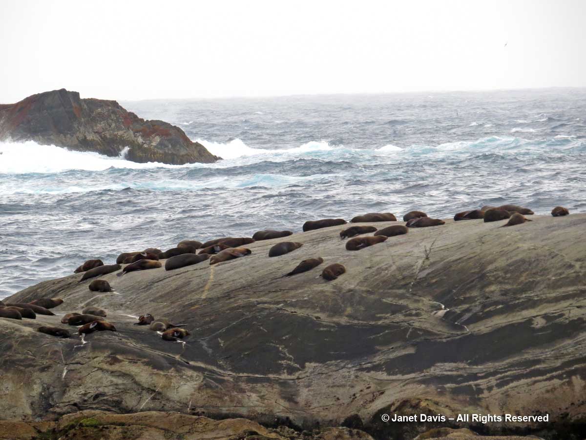
The wind picked up as we neared the mouth of Doubtful Sound and the Tasman Sea.  Here on the Nee Islets, we saw a colony of fur seals.

New-Zealand-Fur seals and gulls-Nee Islets-Doubtful Sound

The seals rest during the day and dive at night for fish, sometimes as deep as 160 metres (525 feet).  Here we see the rough Tasman Sea crashing into the rocks.

New Zealand fur Seal colony-kekeno-Doubtful Sound-Tasman Sea

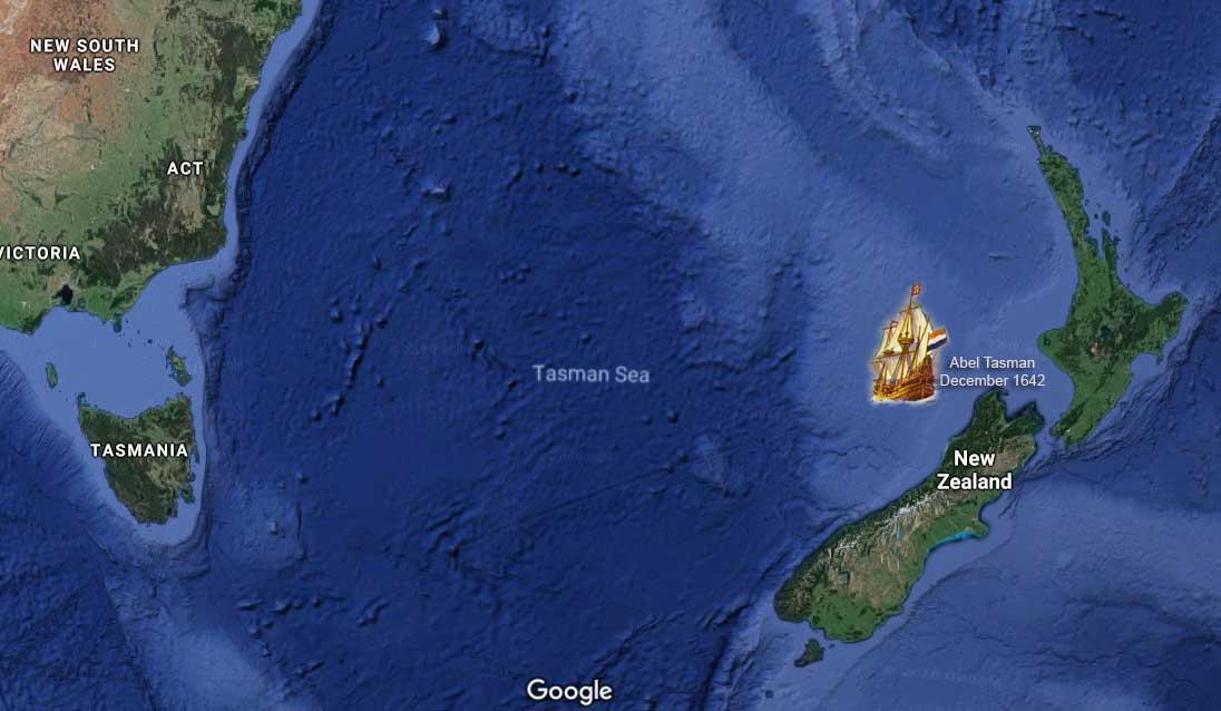
The sea was named for Dutch seafarer and explorer Abel Tasman, who also gave his name to Tasmania. In 1642, he became the first European to sight what he called Staten Landt at the northwest corner of the South Island. It was later renamed Nieuw Zeeland (New Holland) by a cartographer with the Dutch East India Company.

Tasman Sea-Abel Tasman-1642

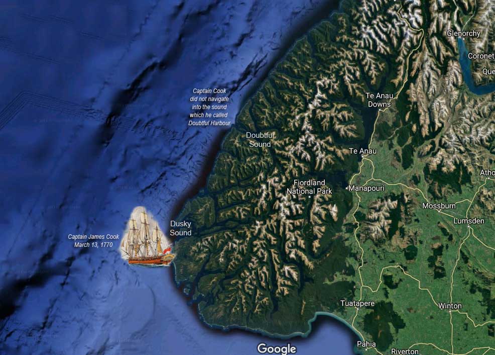
The next European to reach New Zealand’s shore was English sea captain and explorer James Cook. On March 14th, 1770 Captain Cook wrote the following in his log after considering, then rejecting, the idea of navigating into the body of water that he would call Doubtful Harbour.  “The land on each side the Entrance of this Harbour riseth almost perpendicular from the Sea to a very considerable Height; and this was the reason why I did not attempt to go in with the Ship, because I saw clearly that no winds could blow there but what was right in or right out, that is, Westerly or Easterly; and it certainly would have been highly imprudent in me to have put into a place where we could not have got out but with a wind that we have lately found to blow but one day in a Month. I mention this because there was some* on board that wanted me to harbour at any rate, without in the least Considering either the present or future Consequences.” (*The person to whom Cook was referring was the ship botanist Joseph Banks.)

Captain James Cook-Dusky Sound-Second voyage-Resoluton-March 1770

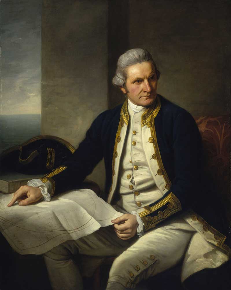
I am a great fan of Captain James Cook.  Why? A little personal aside that has to do with 18th century explorers. As a young child, I lived on Pembroke Street in Victoria, British Columbia.  HMS Pembroke was the name of the ship James Cook served on in 1758 during the British war against the French in Quebec. Victoria is on Vancouver Island, B.C., named for British sea captain and explorer George Vancouver, who charted the Pacific Northwest in 1791-92 aboard HMS Discovery (which had been under Cook’s command 12 years earlier). I caught my bus to school on Cook Street named for Captain Cook…..
Captain James Cook-by Nathaniel Dance-Holland-1776

…..who made three voyages to the southern hemisphere between 1768 and his murder in Hawaii in 1779 while captaining HMS Discovery. On that first voyage with Joseph Banks he did not linger long off the coast.  But on his second voyage (1772-75) on the Resolution – which included midshipman George Vancouver, above – he explored and charted Dusky Sound (36 miles south of Doubtful Sound) from March to May, 1773, while repairing his ship, botanizing and engaging peacefully with local Māori.  And my school was on Humboldt Street, named for yet another explorer, the great German botanist Alexander von Humboldt, 1769-1859.
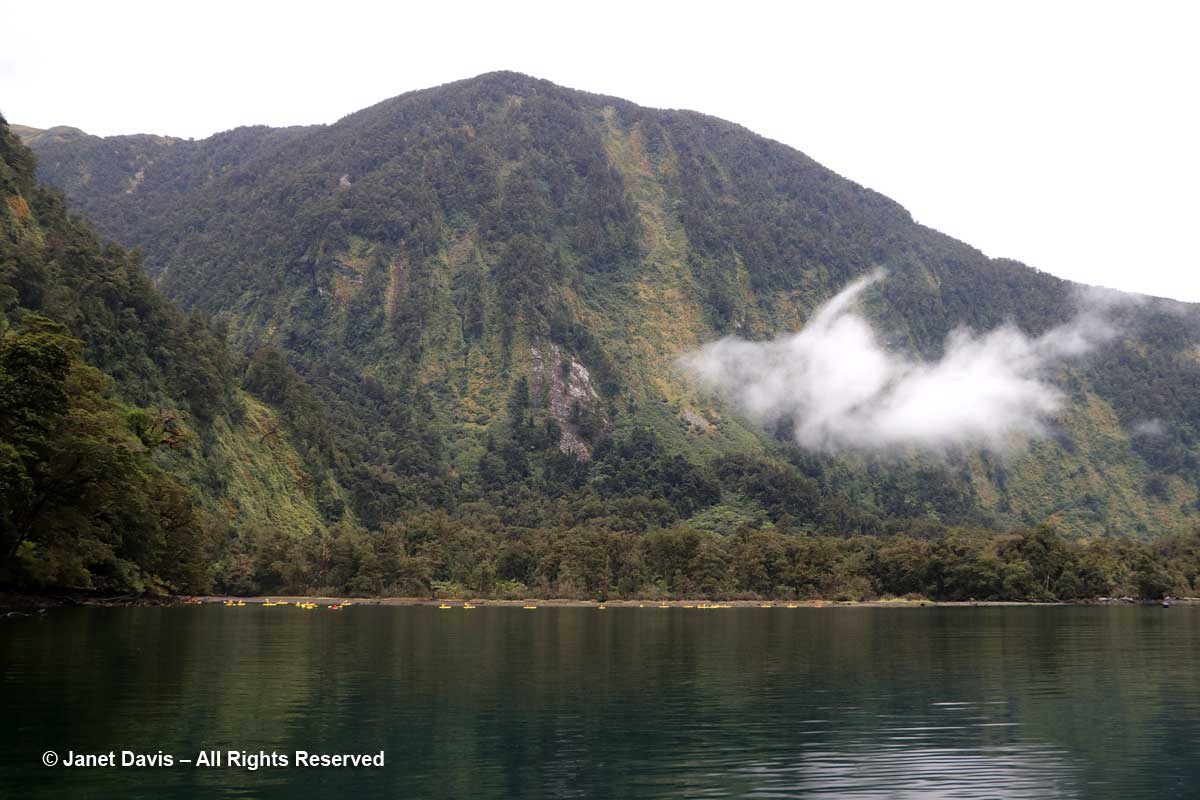
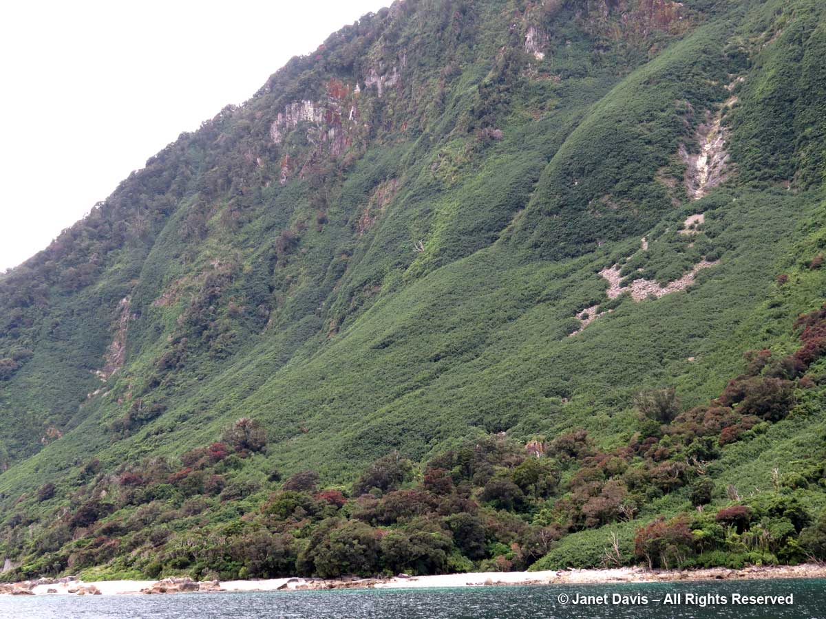
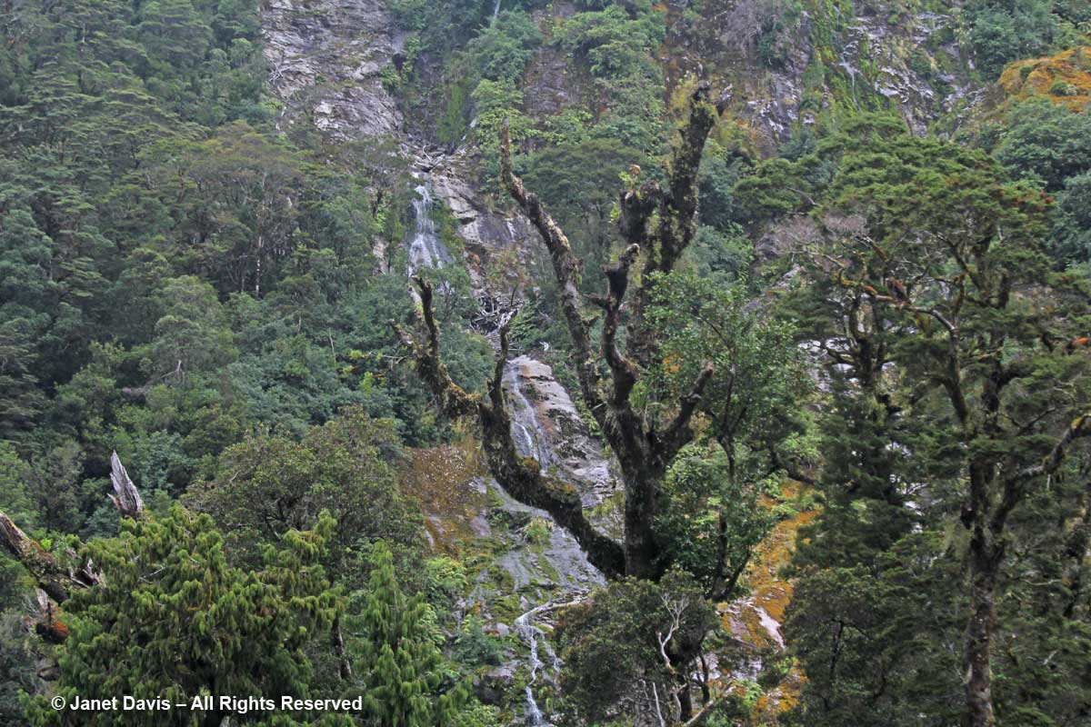
We turned away from the Tasman Sea and made our way back down Doubtful Sound, sailing alongside immense mountain walls cloaked with trees, shrubs, ferns and mosses.

Rainforest mountainside-Doubtful Sound

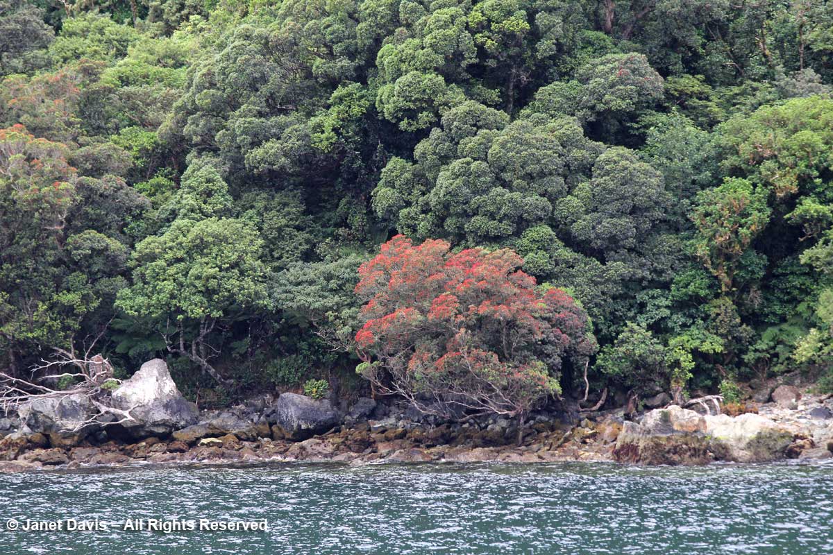
Look at these fabulous southern rāta trees (Metrosideros umbellata) with their red flowers.

Metrosideros-umbellata-Southern rātā-Doubtful Sound

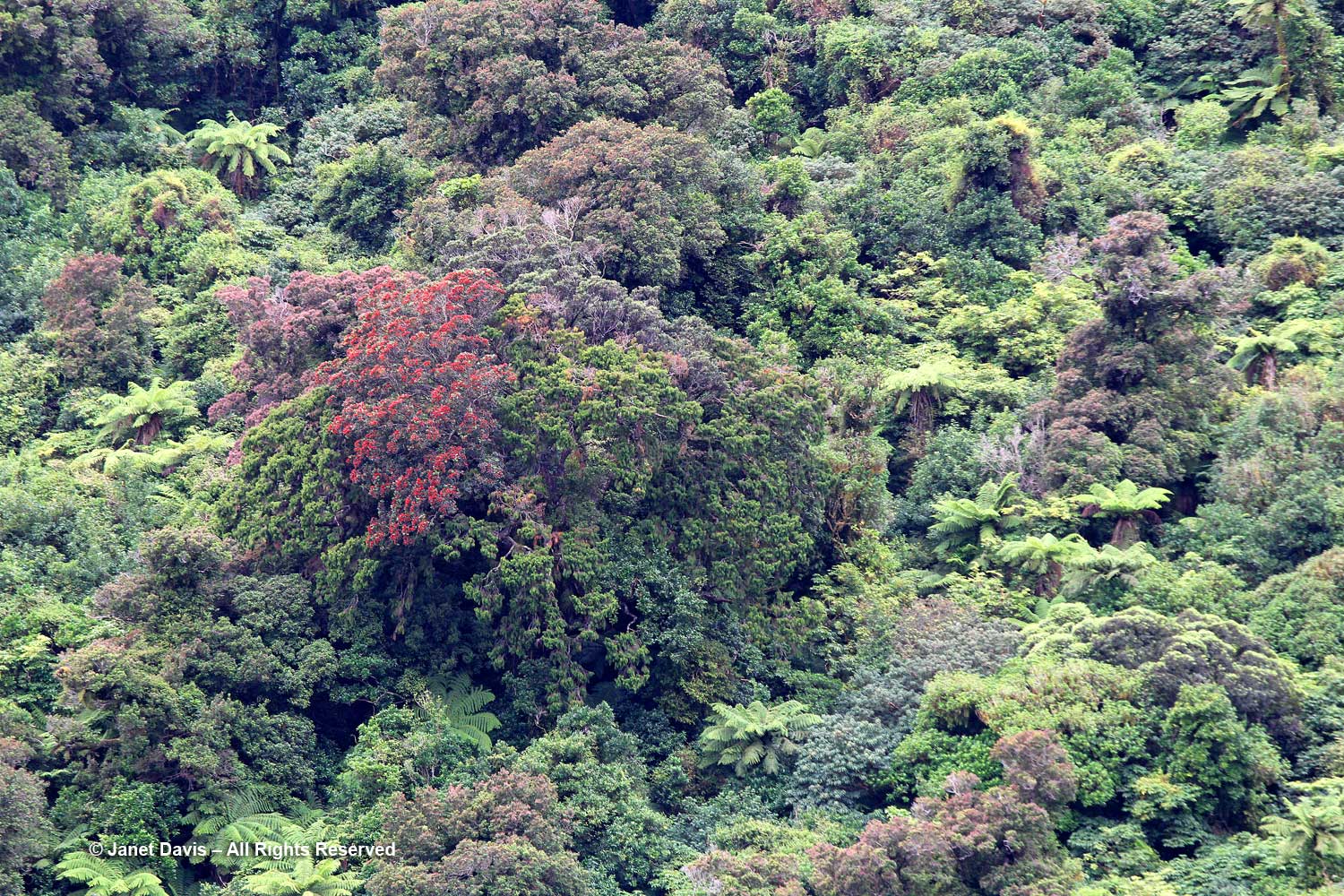
We saw more rātas dotting the slopes on the sound, which also feature tree ferns (Cyathea smithii).

Metrosideros umbellata-southern rata-Doubtful Sound

One of the fun features of the Real Journeys overnight cruise is the chance to get into a kayak or small tender to explore one of the quiet arms of Doubtful Sound.

Kayaking-Real Journeys-Doubtful Sound-Fiordland Navigator

I elected the tender…..

Kayaking-Doubtful-Sound-Fiordland Naviator

….. but you can see the massive scale of the setting compared to the kayaks.

Kayaks-Doubtful Sound-Fiordland

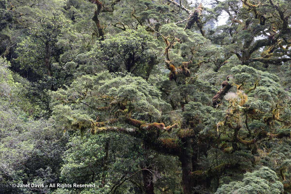
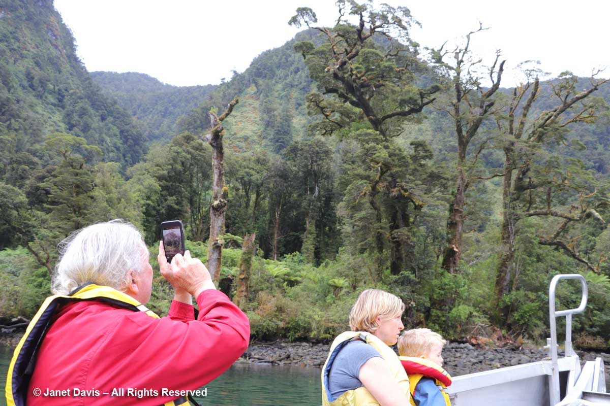
Up close, we could see the epiphytic moss hanging from trees……

Moss-epiphytic-Doubtful Sound

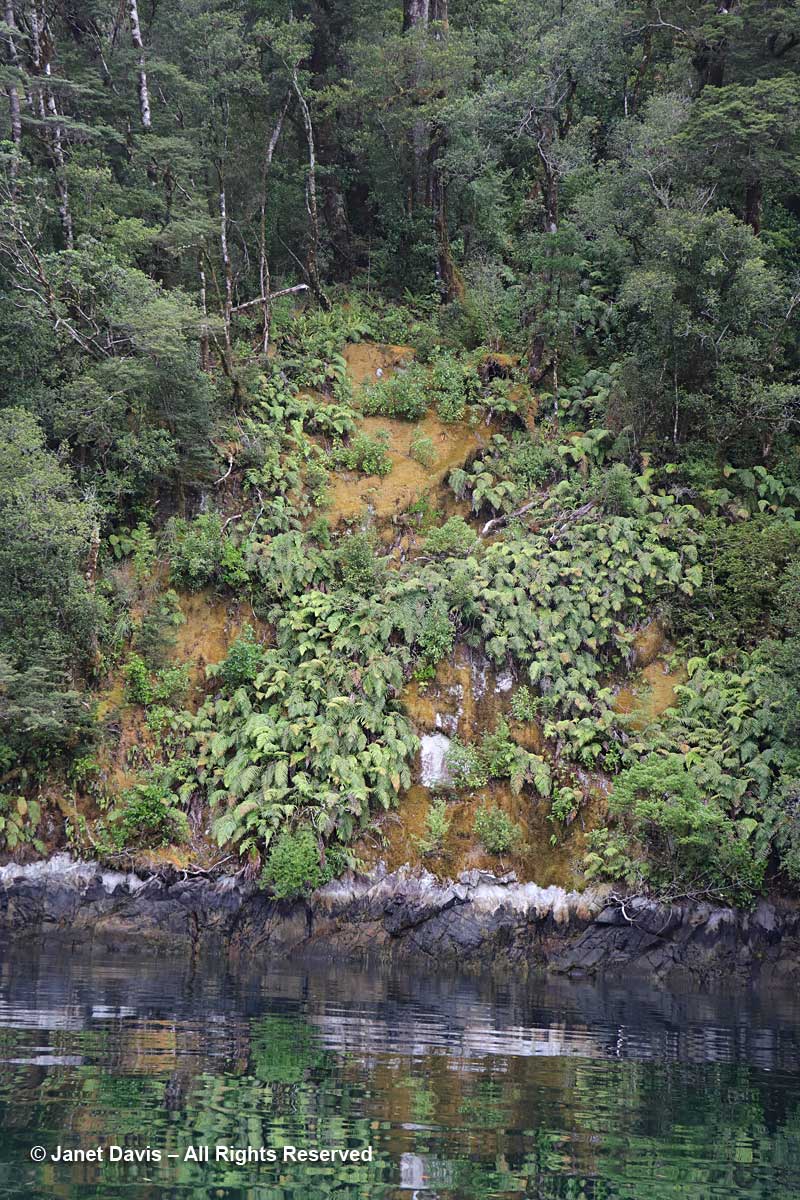
….. and the terrestrial mosses on the rock. Throughout the sound, it is mosses that give the rock faces a foothold for the ferns (like the crown ferns, Blechnum discolor, below) and seed plants that come later.

Moss-terrestrial-crown ferns-Blechnum discolor-Doubtful Sound

But even when the rocky mountainsides become fully covered in plants, the weight of that biomass at the steepest angles combined with heavy rainfall or snowload often results in “tree avalanches”  that cascade down the slopes, leaving the rock exposed once again.

Tree avalanche-Doubtful Sound

And of course the rock face itself often fissures and……

Rock Cracks-Doubtful Sound

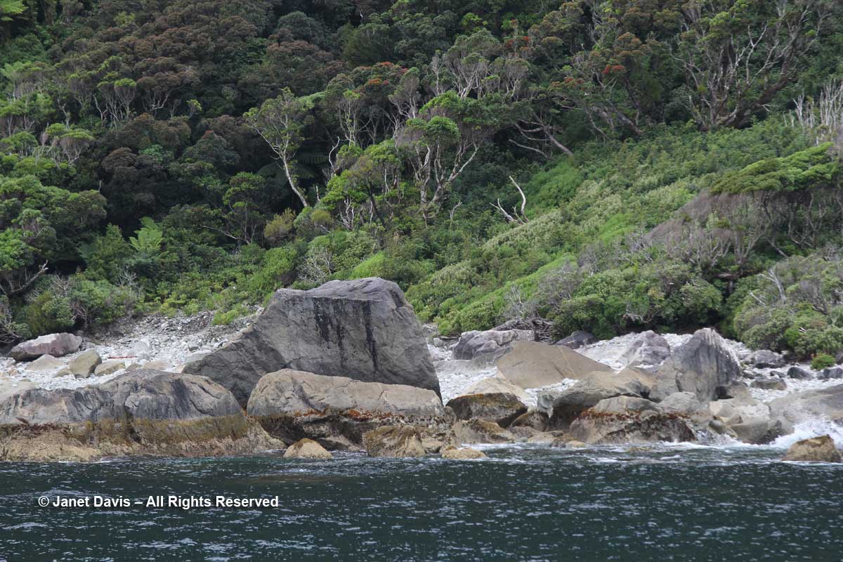
…… giant rock falls to the fiord shore as well, where it will gradually erode.

Rock4

With our little exploration finished, we reboarded the Fiordland Navigator where we enjoyed a lovely buffet dinner. (You can see images of the ship’s interior and staterooms in the previous link). With the ship at anchor in the arm, we turned in for the night and enjoyed the sound of rain when it began in early morning.

And what a morning! I felt like I’d awakened in a National Geographic magazine cover.

Cloud-Doubtful Sound

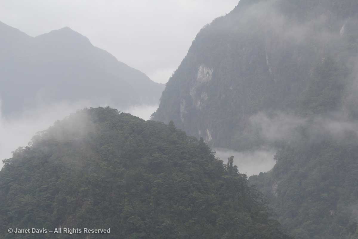
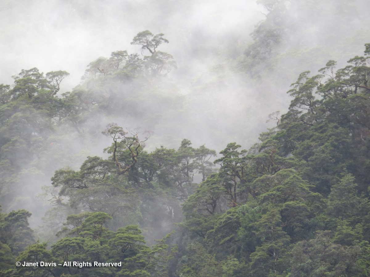
Cloud and mist shrouded the mountains and hanging valleys around us in the same primeval way it has bathed this temperate rainforest in moisture for thousands of years.

Shrouded-trees-Doubtful-Sou

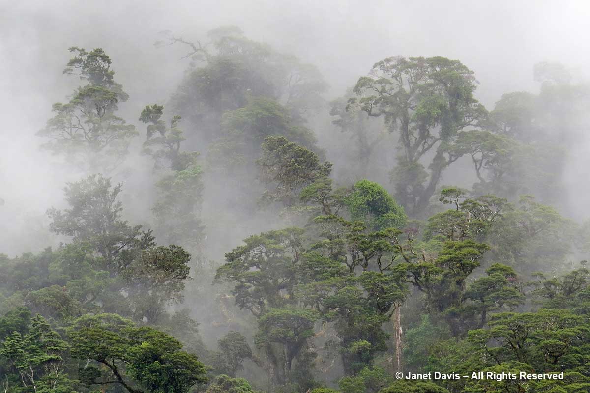
It felt magical, as if the towering rimu trees (Dacrydium cypressinum) and beeches had poked their crowns through the clouds to breathe….

Misty trees-Doubtful Sound-rainforest

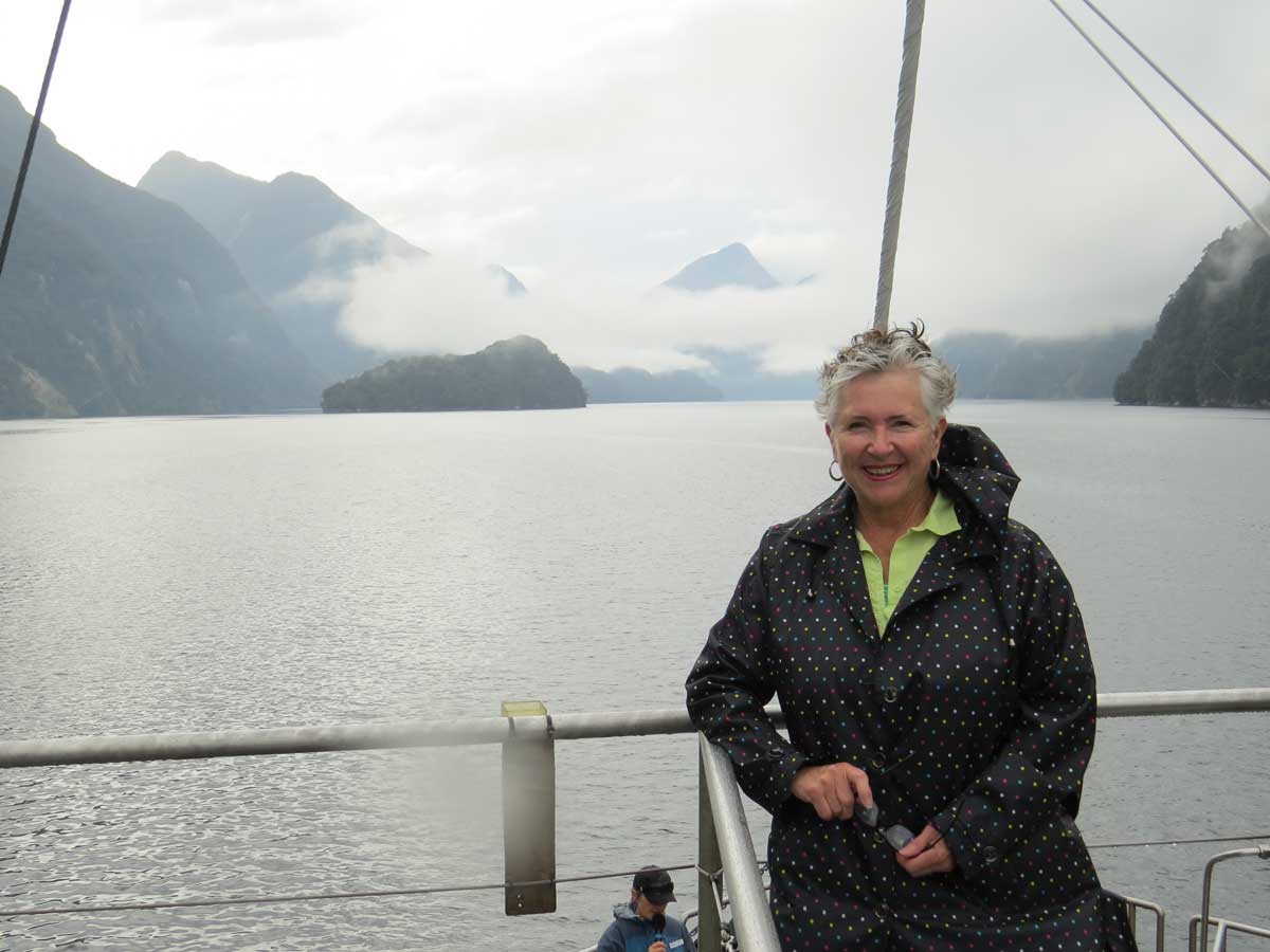
…. After breakfast, I dressed in the raincoat I wore for the very first time in New Zealand……

Day2-Janet Davis-Fiordland Navigator-Doubtful Sound

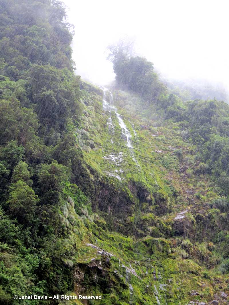
…. so I could enjoy the weather.

Rainfall Doubtful Sound

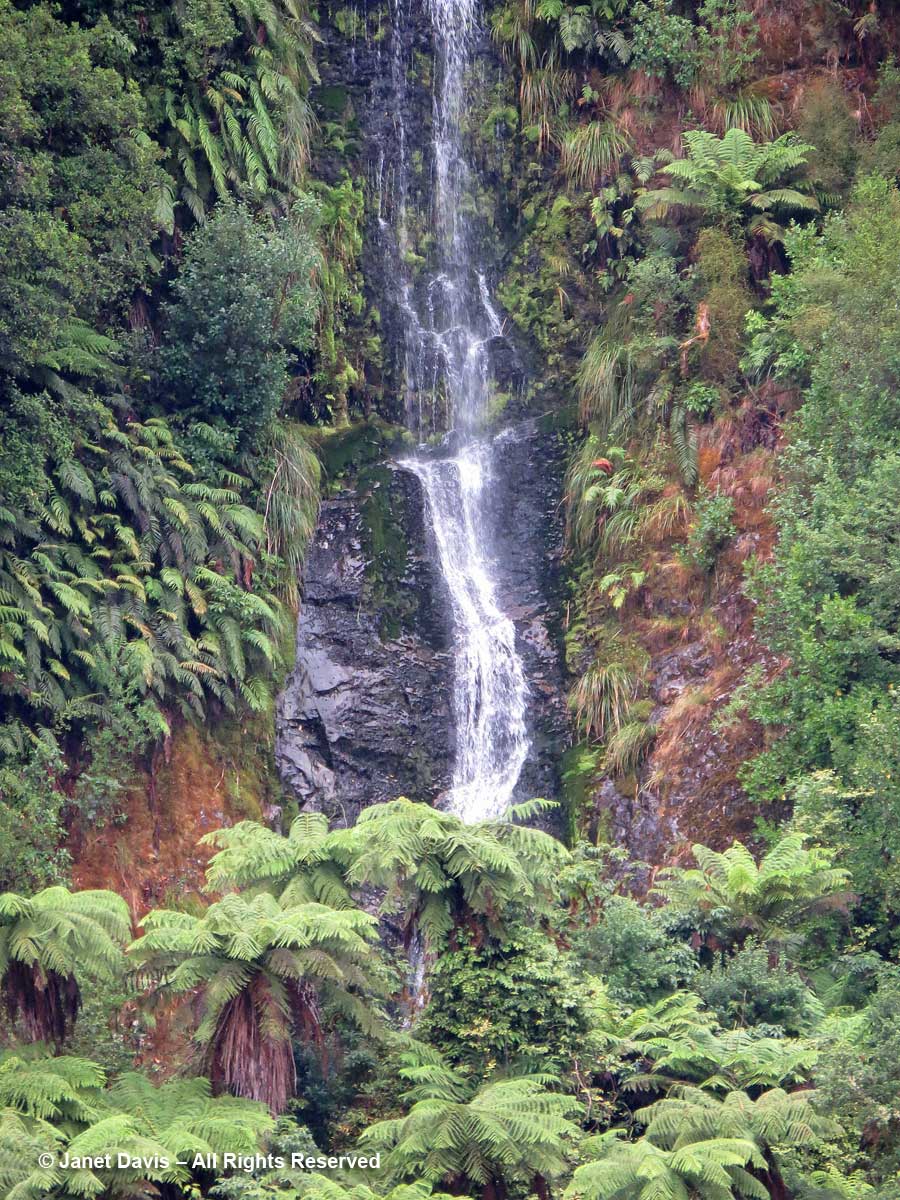
I loved this thin waterfall splashing down behind the kātote (Cyathea smithii) tree ferns with their persistent frond stems.

Waterfall & tree ferns-katote-Cyathea smithii-Doubtful Sound

We were nearing the end of our cruise but there was one more magical moment to come.  The “Sound of Silence” has become something of an iconic experience aboard the Fiordland Navigator since “place of silence” is the English translation for the Māori word for Doubtful Sound, Patea.  It was a magical few minutes, floating, boat engines turned off, with just the odd clang from the kitchen or someone’s packing noise in a neaby cabin to intrude on the sound of water lapping and birds calling on shore.. But it gives you a little sensation of the wonder of this primeval place of beauty and silence.

https://youtu.be/wJs_YvO4kes